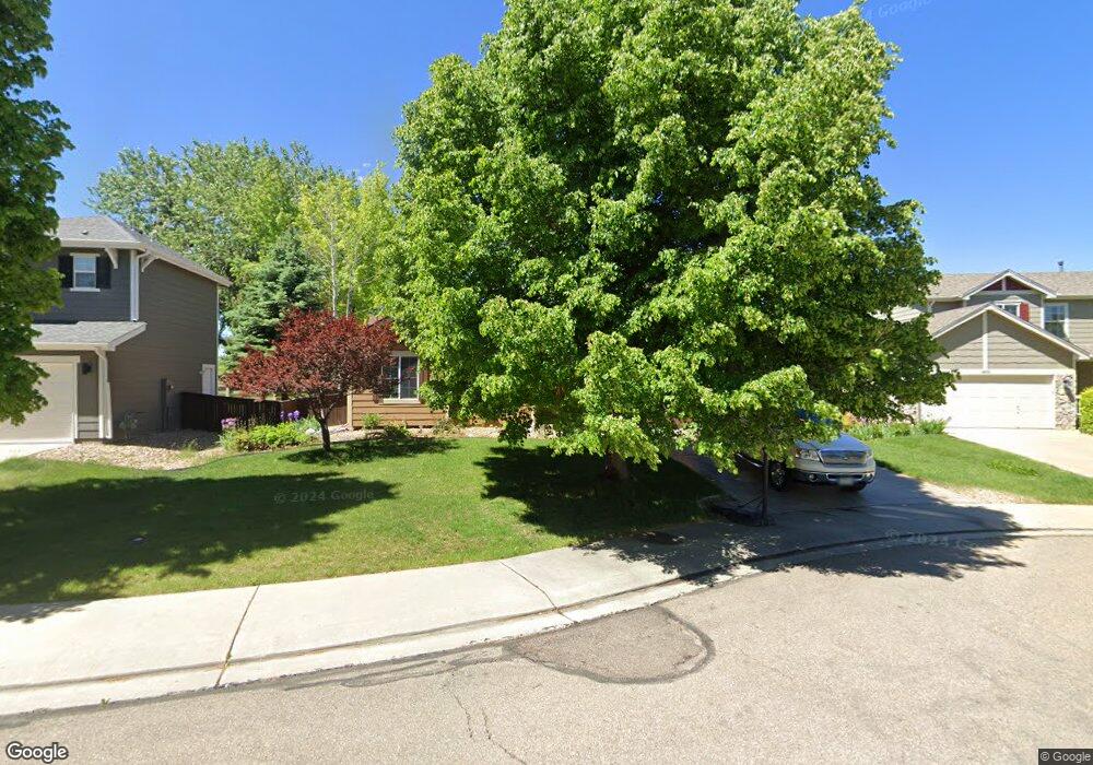
1449 Serenity Cir Longmont, CO 80504
East Side NeighborhoodEstimated Value: $503,000 - $519,921
4
Beds
2
Baths
1,338
Sq Ft
$380/Sq Ft
Est. Value
About This Home
This home is located at 1449 Serenity Cir, Longmont, CO 80504 and is currently estimated at $508,230, approximately $379 per square foot. 1449 Serenity Cir is a home located in Boulder County with nearby schools including Timberline Pk-8, Skyline High School, and Longmont Christian School.
Ownership History
Date
Name
Owned For
Owner Type
Purchase Details
Closed on
Dec 30, 2004
Sold by
Stone Stephanie Wilburn and Wilburn Stephanie K
Bought by
Basurto Basurto Ruth M Ruth M and Basurto Duron Rafael
Current Estimated Value
Home Financials for this Owner
Home Financials are based on the most recent Mortgage that was taken out on this home.
Original Mortgage
$152,000
Outstanding Balance
$76,692
Interest Rate
5.74%
Mortgage Type
Purchase Money Mortgage
Estimated Equity
$431,538
Purchase Details
Closed on
Oct 29, 2002
Sold by
Wl Homes Llc
Bought by
Wilburn Stephanie K
Home Financials for this Owner
Home Financials are based on the most recent Mortgage that was taken out on this home.
Original Mortgage
$139,800
Interest Rate
6%
Create a Home Valuation Report for This Property
The Home Valuation Report is an in-depth analysis detailing your home's value as well as a comparison with similar homes in the area
Home Values in the Area
Average Home Value in this Area
Purchase History
| Date | Buyer | Sale Price | Title Company |
|---|---|---|---|
| Basurto Basurto Ruth M Ruth M | $190,000 | Fahtco | |
| Wilburn Stephanie K | $174,750 | Land Title Guarantee Company |
Source: Public Records
Mortgage History
| Date | Status | Borrower | Loan Amount |
|---|---|---|---|
| Open | Basurto Basurto Ruth M Ruth M | $152,000 | |
| Previous Owner | Wilburn Stephanie K | $139,800 | |
| Closed | Basurto Basurto Ruth M Ruth M | $38,000 |
Source: Public Records
Tax History Compared to Growth
Tax History
| Year | Tax Paid | Tax Assessment Tax Assessment Total Assessment is a certain percentage of the fair market value that is determined by local assessors to be the total taxable value of land and additions on the property. | Land | Improvement |
|---|---|---|---|---|
| 2025 | $2,903 | $32,369 | $7,963 | $24,406 |
| 2024 | $2,903 | $32,369 | $7,963 | $24,406 |
| 2023 | $2,863 | $30,344 | $8,750 | $25,279 |
| 2022 | $2,604 | $26,313 | $6,547 | $19,766 |
| 2021 | $2,638 | $27,070 | $6,735 | $20,335 |
| 2020 | $2,428 | $24,990 | $5,077 | $19,913 |
| 2019 | $2,389 | $24,990 | $5,077 | $19,913 |
| 2018 | $2,085 | $21,953 | $5,112 | $16,841 |
| 2017 | $2,057 | $24,270 | $5,652 | $18,618 |
| 2016 | $1,856 | $19,422 | $6,925 | $12,497 |
| 2015 | $1,769 | $15,426 | $3,502 | $11,924 |
| 2014 | $1,441 | $15,426 | $3,502 | $11,924 |
Source: Public Records
Map
Nearby Homes
- 829 Independence Dr
- 1214 Autumn Ct
- 1506 Crestwood Cir
- 1310 Hilltop Dr
- 1455 Hilltop Dr
- 1504 Pinewood Ct
- 1534 Mount Evans Dr
- 1750 Preston Dr
- 1290 Fall River Cir
- 1703 Whitehall Dr Unit G
- 1703 Whitehall Dr Unit 3C
- 1703 Whitehall Dr Unit 10B
- 1219 Cedarwood Dr
- 605 Saint Andrews Dr
- 1705 Preston Dr
- 1430 Lashley St
- 1201 Trout Creek Cir
- 1245 Trail Ridge Rd
- 147 Dawson Place
- 10 Juneau Place
- 1445 Serenity Cir
- 1453 Serenity Cir
- 1457 Serenity Cir
- 1439 Serenity Cir
- 1450 Serenity Cir
- 1463 Serenity Cir
- 1433 Serenity Cir
- 1444 Serenity Cir
- 1469 Serenity Cir
- 729 Sanctuary Ln
- 1474 Serenity Cir
- 1438 Serenity Cir
- 1427 Serenity Cir
- 1475 Serenity Cir
- 735 Sanctuary Ln
- 1480 Serenity Cir
- 741 Sanctuary Ln
- 1432 Serenity Cir
- 1481 Serenity Cir
- 1421 Serenity Cir