145 Poplar St Yamhill, OR 97148
Estimated Value: $531,000 - $594,000
3
Beds
2
Baths
1,800
Sq Ft
$310/Sq Ft
Est. Value
About This Home
This home is located at 145 Poplar St, Yamhill, OR 97148 and is currently estimated at $558,523, approximately $310 per square foot. 145 Poplar St is a home located in Yamhill County with nearby schools including Yamhill Carlton Elementary School, Yamhill Carlton Intermediate School, and Yamhill Carlton High School.
Ownership History
Date
Name
Owned For
Owner Type
Purchase Details
Closed on
Aug 11, 2015
Sold by
Anlon Construction Llc
Bought by
Overstreet Joseph S and Arthur Overstreet Alisha M
Current Estimated Value
Home Financials for this Owner
Home Financials are based on the most recent Mortgage that was taken out on this home.
Original Mortgage
$300,000
Outstanding Balance
$234,818
Interest Rate
4.05%
Mortgage Type
VA
Estimated Equity
$323,705
Create a Home Valuation Report for This Property
The Home Valuation Report is an in-depth analysis detailing your home's value as well as a comparison with similar homes in the area
Home Values in the Area
Average Home Value in this Area
Purchase History
| Date | Buyer | Sale Price | Title Company |
|---|---|---|---|
| Overstreet Joseph S | $303,000 | First American |
Source: Public Records
Mortgage History
| Date | Status | Borrower | Loan Amount |
|---|---|---|---|
| Open | Overstreet Joseph S | $300,000 |
Source: Public Records
Tax History Compared to Growth
Tax History
| Year | Tax Paid | Tax Assessment Tax Assessment Total Assessment is a certain percentage of the fair market value that is determined by local assessors to be the total taxable value of land and additions on the property. | Land | Improvement |
|---|---|---|---|---|
| 2025 | $4,395 | $325,844 | -- | -- |
| 2024 | $4,269 | $316,353 | -- | -- |
| 2023 | $4,152 | $307,139 | $0 | $0 |
| 2022 | $4,029 | $298,193 | $0 | $0 |
| 2021 | $3,942 | $289,508 | $0 | $0 |
| 2020 | $4,062 | $281,076 | $0 | $0 |
| 2019 | $3,940 | $272,889 | $0 | $0 |
| 2018 | $3,723 | $264,941 | $0 | $0 |
| 2017 | $3,634 | $257,224 | $0 | $0 |
| 2016 | $3,546 | $225,541 | $0 | $0 |
| 2015 | $475 | $34,860 | $0 | $0 |
| 2014 | $759 | $54,880 | $0 | $0 |
Source: Public Records
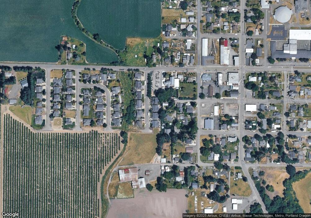
Map
Nearby Homes
- 145 S Poplar St
- 135 Poplar St
- 155 Poplar St
- 135 S Poplar St
- 155 S Poplar St
- 285 S Olive St
- 165 S Poplar St
- 165 Poplar St
- 140 SW Poplar St
- 275 W First St
- 275 W 1st St
- 275 E 1st St
- 150 SW Poplar St
- 130 SW Poplar St
- 160 SW Poplar St
- 290 S Olive St
- 120 SW Poplar St
- 280 S Olive St
- 715 E Erica St
- 220 S Olive St