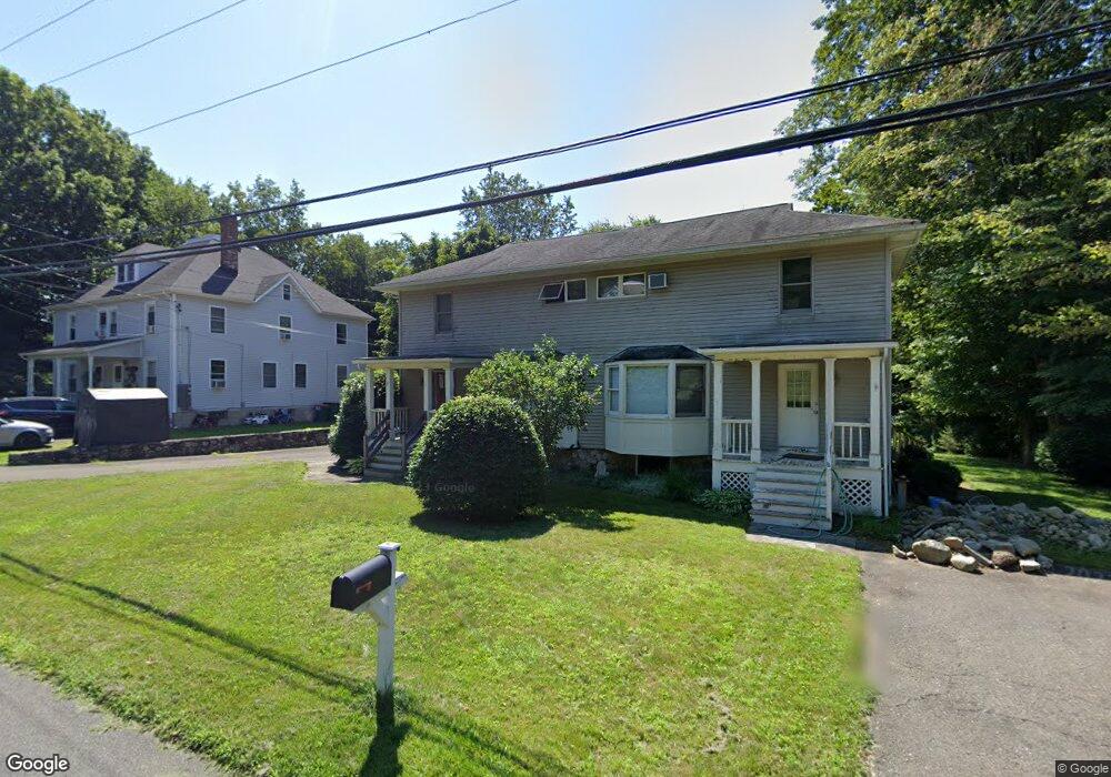
145 Portland Ave Unit B Redding, CT 06896
Estimated Value: $653,952 - $807,000
2
Beds
1
Bath
1,146
Sq Ft
$649/Sq Ft
Est. Value
About This Home
This home is located at 145 Portland Ave Unit B, Redding, CT 06896 and is currently estimated at $743,238, approximately $648 per square foot. 145 Portland Ave Unit B is a home located in Fairfield County with nearby schools including Redding Elementary School, John Read Middle School, and Joel Barlow High School.
Ownership History
Date
Name
Owned For
Owner Type
Purchase Details
Closed on
Sep 17, 2015
Sold by
Hegedus E Michael
Bought by
145 Portland Avenue Llc
Current Estimated Value
Purchase Details
Closed on
Aug 18, 2014
Sold by
Fnma
Bought by
Hegedus Michael E
Purchase Details
Closed on
May 27, 2014
Sold by
Suntrust Mortgage Inc
Bought by
Federal National Mortgage Association
Purchase Details
Closed on
Jun 12, 2013
Sold by
Suntrust Mortgage Inc
Bought by
Federal National Mortgage Association
Create a Home Valuation Report for This Property
The Home Valuation Report is an in-depth analysis detailing your home's value as well as a comparison with similar homes in the area
Home Values in the Area
Average Home Value in this Area
Purchase History
| Date | Buyer | Sale Price | Title Company |
|---|---|---|---|
| 145 Portland Avenue Llc | -- | -- | |
| 145 Portland Avenue Llc | -- | -- | |
| Hegedus Michael E | $410,000 | -- | |
| Federal National Mortgage Association | -- | -- | |
| Suntrust Mortgage Inc | -- | -- | |
| Federal National Mortgage Association | -- | -- | |
| Suntrust Mortgage Inc | -- | -- | |
| 145 Portland Avenue Llc | -- | -- | |
| Hegedus Michael E | $410,000 | -- | |
| Federal National Mortgage Association | -- | -- | |
| Suntrust Mortgage Inc | -- | -- |
Source: Public Records
Mortgage History
| Date | Status | Borrower | Loan Amount |
|---|---|---|---|
| Previous Owner | Suntrust Mortgage Inc | $417,000 |
Source: Public Records
Tax History Compared to Growth
Tax History
| Year | Tax Paid | Tax Assessment Tax Assessment Total Assessment is a certain percentage of the fair market value that is determined by local assessors to be the total taxable value of land and additions on the property. | Land | Improvement |
|---|---|---|---|---|
| 2025 | $9,787 | $331,300 | $136,100 | $195,200 |
| 2024 | $9,515 | $331,300 | $136,100 | $195,200 |
| 2023 | $9,174 | $331,300 | $136,100 | $195,200 |
| 2022 | $9,609 | $288,200 | $142,800 | $145,400 |
| 2021 | $13,231 | $288,200 | $142,800 | $145,400 |
| 2020 | $9,464 | $288,200 | $142,800 | $145,400 |
| 2019 | $11,934 | $288,200 | $142,800 | $145,400 |
| 2018 | $9,142 | $288,200 | $142,800 | $145,400 |
| 2017 | $7,248 | $244,700 | $111,700 | $133,000 |
| 2016 | $7,155 | $244,700 | $111,700 | $133,000 |
| 2015 | $7,074 | $244,700 | $111,700 | $133,000 |
| 2014 | $7,074 | $244,700 | $111,700 | $133,000 |
Source: Public Records
Map
Nearby Homes
- 66 Portland Ave
- 9 Read Place
- 33 Peaceable St
- 0 Mountain Rd
- 26 Wilridge Rd
- 10 Mallory Hill Rd
- 54 Mountain Rd
- 20 Georgetown Rd
- 0 Old Mill Rd
- 311 Old Branchville Rd
- 46 Old Farm Rd
- 12 Upper Parish Dr
- 29 Goodsell Hill Rd
- 23 Goodsell Hill Rd
- 00 Old Mill Rd
- 175 Mountain Rd
- 13 Indian Hill Rd
- 15 Laurel Hill Rd
- 219 Redding Rd
- 32 Beeholm Rd
- 145 Portland Ave
- 135 Portland Ave
- 135 Portland Ave Unit LEFT
- 135 Portland Ave Unit RIGHT
- 135 Portland Ave Unit B
- 155 Portland Ave Unit 157
- 67 Portland Ave Unit 69
- 152 Portland Ave
- 152 Portland Ave Unit B
- 152 Portland Ave Unit A
- 125 Portland Ave
- 142 Portland Ave
- 142 Portland Ave Unit A
- 62 Portland Ave
- 132 Portland Ave
- 71 Portland Ave Unit 73
- 104 Portland Ave
- 104 Portland Ave Unit B
- 122 Portland Ave
- 112 Portland Ave