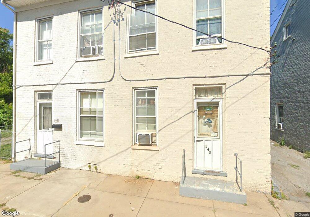
145 S Locust St Hagerstown, MD 21740
Central NeighborhoodEstimated Value: $181,000 - $216,000
--
Bed
1
Bath
930
Sq Ft
$217/Sq Ft
Est. Value
About This Home
This home is located at 145 S Locust St, Hagerstown, MD 21740 and is currently estimated at $201,611, approximately $216 per square foot. 145 S Locust St is a home located in Washington County with nearby schools including Bester Elementary School, E. Russell Hicks Middle School, and South Hagerstown High School.
Ownership History
Date
Name
Owned For
Owner Type
Purchase Details
Closed on
Oct 19, 2015
Sold by
Hph Fund I D 19 Llc
Bought by
Dalee Properties Llc
Current Estimated Value
Purchase Details
Closed on
Jul 23, 2015
Sold by
Slp Investments Llc
Bought by
Hph Fund I D 19 Llc
Purchase Details
Closed on
Mar 1, 2000
Sold by
Ernst Robert E
Bought by
Powell Steven L
Create a Home Valuation Report for This Property
The Home Valuation Report is an in-depth analysis detailing your home's value as well as a comparison with similar homes in the area
Home Values in the Area
Average Home Value in this Area
Purchase History
| Date | Buyer | Sale Price | Title Company |
|---|---|---|---|
| Dalee Properties Llc | $40,500 | Premier Settlements & Title | |
| Hph Fund I D 19 Llc | $715,000 | Residential Title & Escrow C | |
| Powell Steven L | $70,000 | -- |
Source: Public Records
Mortgage History
| Date | Status | Borrower | Loan Amount |
|---|---|---|---|
| Closed | Powell Steven L | -- |
Source: Public Records
Tax History Compared to Growth
Tax History
| Year | Tax Paid | Tax Assessment Tax Assessment Total Assessment is a certain percentage of the fair market value that is determined by local assessors to be the total taxable value of land and additions on the property. | Land | Improvement |
|---|---|---|---|---|
| 2025 | $1,359 | $171,800 | $35,000 | $136,800 |
| 2024 | $1,359 | $149,133 | $0 | $0 |
| 2023 | $1,152 | $126,467 | $0 | $0 |
| 2022 | $946 | $103,800 | $35,000 | $68,800 |
| 2021 | $1,040 | $103,800 | $35,000 | $68,800 |
| 2020 | $966 | $103,800 | $35,000 | $68,800 |
| 2019 | $1,034 | $110,600 | $35,000 | $75,600 |
| 2018 | $1,033 | $110,533 | $0 | $0 |
| 2017 | $1,033 | $110,467 | $0 | $0 |
| 2016 | -- | $110,400 | $0 | $0 |
| 2015 | $2,100 | $110,500 | $0 | $0 |
| 2014 | $2,100 | $110,500 | $0 | $0 |
Source: Public Records
Map
Nearby Homes
- 123 1/2 S Locust St
- 112 E Antietam St
- 25 S Locust St
- 205 S Potomac St
- 200 E Antietam St
- 145 King St
- 262 S Potomac St
- 16 S Mulberry St
- 15 S Cannon Ave
- 306 S Mulberry St
- 228 E Washington St
- 326 S Potomac St
- 30 S Cannon Ave
- 112 S Cannon Ave
- 51 N Cannon Ave
- 200 E Franklin St
- 329 South St
- 329 Antietam E
- 115 East Ave
- 312 E Franklin St
- 141143 Locust St S
- 141143 Locust St
- 145 S Locust St
- 143 S Locust St
- 141 S Locust St
- 60 E Baltimore St
- 139 S Locust St
- 62 E Baltimore St
- 58 E Baltimore St
- 146 S Locust St
- 148 S Locust St
- 140 S Locust St
- 144 S Locust St
- 142 S Locust St
- 102 E Baltimore St
- 100 E Baltimore St
- 137 S Locust St
- 138 S Locust St
- 54 E Baltimore St
- 56 E Baltimore St