145 The Channel Way Brewster, MA 02631
Estimated Value: $750,000 - $1,282,540
3
Beds
3
Baths
1,497
Sq Ft
$746/Sq Ft
Est. Value
About This Home
This home is located at 145 The Channel Way, Brewster, MA 02631 and is currently estimated at $1,117,385, approximately $746 per square foot. 145 The Channel Way is a home located in Barnstable County with nearby schools including Stony Brook Elementary School, Eddy Elementary School, and Nauset Regional Middle School.
Ownership History
Date
Name
Owned For
Owner Type
Purchase Details
Closed on
Jan 10, 2011
Sold by
Sandra D Peterson Ret
Bought by
Elbow Beach Llc
Current Estimated Value
Purchase Details
Closed on
Apr 1, 2005
Sold by
Peterson Sandra D
Bought by
Sandra D Peterson Ret
Purchase Details
Closed on
May 6, 1977
Bought by
Elbow Beach Llc
Create a Home Valuation Report for This Property
The Home Valuation Report is an in-depth analysis detailing your home's value as well as a comparison with similar homes in the area
Home Values in the Area
Average Home Value in this Area
Purchase History
| Date | Buyer | Sale Price | Title Company |
|---|---|---|---|
| Elbow Beach Llc | -- | -- | |
| Sandra D Peterson Ret | -- | -- | |
| Elbow Beach Llc | -- | -- |
Source: Public Records
Mortgage History
| Date | Status | Borrower | Loan Amount |
|---|---|---|---|
| Open | Elbow Beach Llc | $130,000 |
Source: Public Records
Tax History Compared to Growth
Tax History
| Year | Tax Paid | Tax Assessment Tax Assessment Total Assessment is a certain percentage of the fair market value that is determined by local assessors to be the total taxable value of land and additions on the property. | Land | Improvement |
|---|---|---|---|---|
| 2025 | $8,290 | $1,204,900 | $856,000 | $348,900 |
| 2024 | $7,745 | $1,137,300 | $807,600 | $329,700 |
| 2023 | $6,961 | $995,800 | $720,900 | $274,900 |
| 2022 | $6,525 | $831,200 | $600,600 | $230,600 |
| 2021 | $5,913 | $689,200 | $484,800 | $204,400 |
| 2020 | $2,147 | $679,900 | $484,800 | $195,100 |
| 2019 | $5,121 | $655,800 | $466,400 | $189,400 |
| 2018 | $5,359 | $648,800 | $466,400 | $182,400 |
| 2017 | $4,568 | $635,200 | $466,400 | $168,800 |
| 2016 | $5,253 | $623,100 | $457,300 | $165,800 |
| 2015 | $5,042 | $610,400 | $448,200 | $162,200 |
Source: Public Records
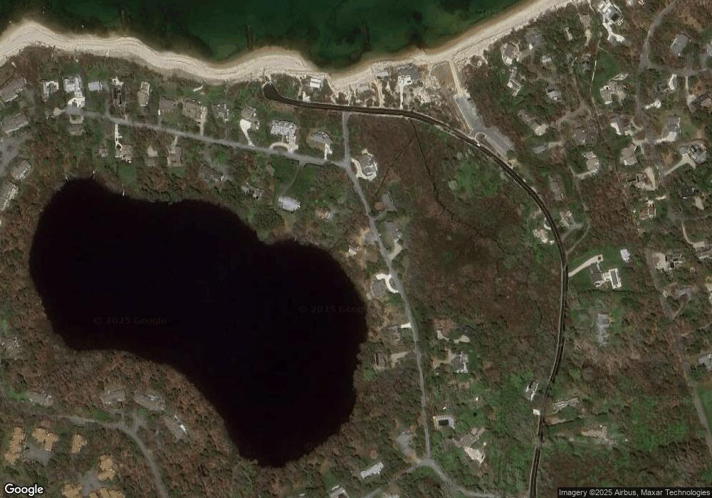
Map
Nearby Homes
- 18 Juniper Cir
- 11 Juniper Cir
- 1861 Main St
- 35 Bradford Rd
- 20 Skipjack Way
- 1580 Main St
- 232 Robbins Hill Rd
- 240 Robbins Hill Rd
- 167 Ambergris Cir
- 41 Great Oak Rd
- 85 Yankee Dr
- 104 Sachemus Trail Unit 104
- 1424 Main St
- 42 Landing Ln Unit 42
- 602 Tubman Rd
- 16 Woodview Dr Unit 16
- 53 Brier Ln
- 20 Spring Ln
- 126 Bittersweet Dr
- 142 The Channel Way
- 123 The Channel Way
- 165 The Channel Way
- 154 The Channel Way
- 75 The Channel Way
- 0 The Channel Way
- 101 The Channel Way
- 19 Governor Prence Rd
- 170 The Channel Way
- 93 The Channel Way
- 96 The Channel Way
- 12 Governor Prence Rd
- 219 Breakwater Rd
- 33 Governor Prence Rd
- 90 The Channel Way
- 30 Governor Prence Rd
- 47 Governor Prence Rd
- 282 Breakwater Rd
- 38 Governor Prence Rd
- 306 Breakwater Rd