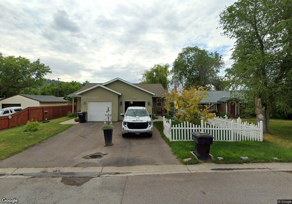
1450 5th Ave W Kalispell, MT 59901
Estimated Value: $305,557 - $362,000
2
Beds
1
Bath
880
Sq Ft
$387/Sq Ft
Est. Value
About This Home
This home is located at 1450 5th Ave W, Kalispell, MT 59901 and is currently estimated at $340,639, approximately $387 per square foot. 1450 5th Ave W is a home located in Flathead County with nearby schools including Lillian Peterson School, Kalispell Middle School, and Flathead High School.
Ownership History
Date
Name
Owned For
Owner Type
Purchase Details
Closed on
Feb 10, 2009
Sold by
Montana Rentals Llc
Bought by
Barker Ricky L
Current Estimated Value
Purchase Details
Closed on
May 30, 2006
Sold by
Blend Michael K and Blend Diana O
Bought by
Montana Rentals Llc
Purchase Details
Closed on
Jun 6, 2005
Sold by
Montana Rentals Llc
Bought by
Blend Michael K and Blend Diana O
Create a Home Valuation Report for This Property
The Home Valuation Report is an in-depth analysis detailing your home's value as well as a comparison with similar homes in the area
Purchase History
| Date | Buyer | Sale Price | Title Company |
|---|---|---|---|
| Barker Ricky L | -- | None Available | |
| Montana Rentals Llc | -- | None Available | |
| Blend Michael K | -- | Sterling Title Services |
Source: Public Records
Tax History
| Year | Tax Paid | Tax Assessment Tax Assessment Total Assessment is a certain percentage of the fair market value that is determined by local assessors to be the total taxable value of land and additions on the property. | Land | Improvement |
|---|---|---|---|---|
| 2025 | $1,426 | $296,600 | $0 | $0 |
| 2024 | $1,784 | $229,100 | $0 | $0 |
| 2023 | $2,156 | $229,100 | $0 | $0 |
| 2022 | $1,861 | $185,300 | $0 | $0 |
| 2021 | $2,271 | $185,300 | $0 | $0 |
| 2020 | $2,171 | $166,700 | $0 | $0 |
| 2019 | $2,174 | $166,700 | $0 | $0 |
| 2018 | $1,884 | $134,200 | $0 | $0 |
| 2017 | $1,889 | $134,200 | $0 | $0 |
| 2016 | $756 | $112,900 | $0 | $0 |
| 2015 | $1,512 | $112,900 | $0 | $0 |
| 2014 | $1,619 | $74,411 | $0 | $0 |
Source: Public Records
Map
Nearby Homes
- 1517 5th Ave W
- 1418 6th Ave W
- 1313 7th Ave W
- 1483 & 1485 Western Dr
- 1308 7th Ave W
- NHN 11th St W
- 135 Rimrock Ct
- 209 12th St W
- 1971 Bluestone Dr
- 31 Austin St
- 865 9th St W
- 819 9th Ave W
- 824 8th St W
- 1227 1st Ave E
- 1312 2nd Ave E
- 1996/1998 Greatview
- 2035 Teal Dr
- 2033 Teal Dr
- 2253 Canvasback Ct
- 776 1st Ave E
Your Personal Tour Guide
Ask me questions while you tour the home.