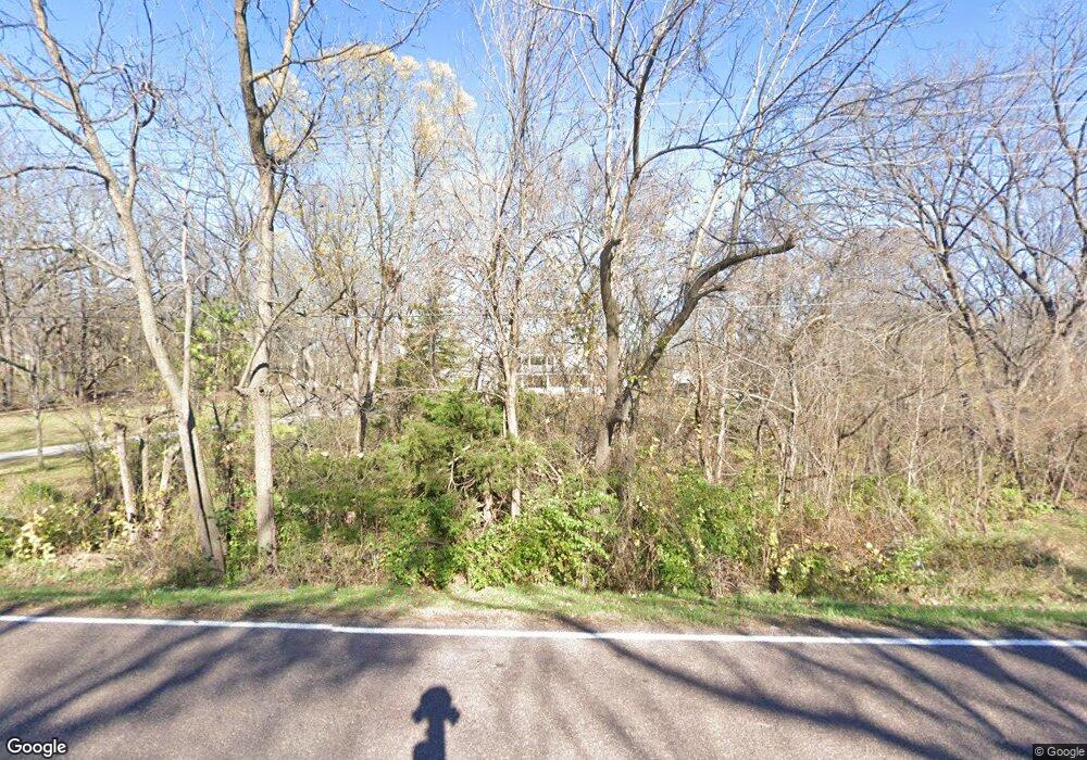
14512 Leavenworth Rd Basehor, KS 66007
Estimated Value: $610,000 - $726,519
4
Beds
4
Baths
2,948
Sq Ft
$227/Sq Ft
Est. Value
About This Home
This home is located at 14512 Leavenworth Rd, Basehor, KS 66007 and is currently estimated at $668,173, approximately $226 per square foot. 14512 Leavenworth Rd is a home located in Leavenworth County with nearby schools including Basehor Elementary School, Basehor-Linwood Middle School, and Basehor-Linwood High School.
Ownership History
Date
Name
Owned For
Owner Type
Purchase Details
Closed on
Jun 27, 2018
Sold by
Horn Karen L
Bought by
Wilson Nathaniel
Current Estimated Value
Home Financials for this Owner
Home Financials are based on the most recent Mortgage that was taken out on this home.
Original Mortgage
$323,000
Outstanding Balance
$280,547
Interest Rate
4.6%
Mortgage Type
New Conventional
Estimated Equity
$387,626
Create a Home Valuation Report for This Property
The Home Valuation Report is an in-depth analysis detailing your home's value as well as a comparison with similar homes in the area
Home Values in the Area
Average Home Value in this Area
Purchase History
| Date | Buyer | Sale Price | Title Company |
|---|---|---|---|
| Wilson Nathaniel | $403,750 | Continental Title Co | |
| Wilson Nathaniel | $429,590 | Continental Title |
Source: Public Records
Mortgage History
| Date | Status | Borrower | Loan Amount |
|---|---|---|---|
| Open | Wilson Nathaniel | $323,000 | |
| Closed | Wilson Nathaniel | $323,000 |
Source: Public Records
Tax History Compared to Growth
Tax History
| Year | Tax Paid | Tax Assessment Tax Assessment Total Assessment is a certain percentage of the fair market value that is determined by local assessors to be the total taxable value of land and additions on the property. | Land | Improvement |
|---|---|---|---|---|
| 2025 | $7,282 | $63,856 | $8,734 | $55,122 |
| 2024 | $6,737 | $61,661 | $8,882 | $52,779 |
| 2023 | $6,737 | $59,932 | $8,301 | $51,631 |
| 2022 | $6,237 | $52,532 | $7,327 | $45,205 |
| 2021 | $5,328 | $45,188 | $5,946 | $39,242 |
| 2020 | $5,136 | $42,655 | $5,716 | $36,939 |
| 2019 | $3,864 | $32,337 | $5,126 | $27,211 |
| 2018 | $3,992 | $33,324 | $4,399 | $28,925 |
| 2017 | $3,673 | $30,618 | $4,390 | $26,228 |
| 2016 | $3,590 | $30,095 | $4,336 | $25,759 |
| 2015 | $3,425 | $28,829 | $3,504 | $25,325 |
| 2014 | $3,361 | $28,369 | $3,495 | $24,874 |
Source: Public Records
Map
Nearby Homes
- 19979 139th St
- 13736 Leavenworth Rd
- 4145 Lake Shore Dr
- 4418 Tee Box Dr
- 4151 Lake Shore Dr
- 13622 Leavenworth Rd
- 4248 Lake Shore Dr
- 4282 Lake Shore Dr
- 15307 Meyer Dr
- The Azalea I Plan at The Communities of Falcon Lakes - Falcon Lakes
- 14574 Aurora Ln
- 4394 Tee Box Dr
- 0 147th St Unit HMS2558389
- 4250 Aspen Dr
- 4377 Tee Box Dr
- 4397 Tee Box Dr
- 4402 Tee Box Dr
- 4271 Aspen Dr
- 3721 N 154th St
- Lot 1 155th St
- 14464 Leavenworth Rd
- 14580 Leavenworth Rd
- 14418 Leavenworth Rd
- 14620 Leavenworth Rd
- 14386 Leavenworth Rd
- 20476 147th St
- 14352 Leavenworth Rd
- 14653 Leavenworth Rd
- 14653 Leavenworth Rd
- 20420 147th St
- 14318 Leavenworth Rd
- 20332 147th St
- 20538 147th St
- 14302 Leavenworth Rd
- 14307 Leavenworth Rd
- 14298 Leavenworth Rd
- 20570 147th St
- 14253 Leavenworth Rd
- 20616 147th St
- 14214 Leavenworth Rd
