Estimated Value: $754,000 - $881,000
3
Beds
1
Bath
938
Sq Ft
$856/Sq Ft
Est. Value
About This Home
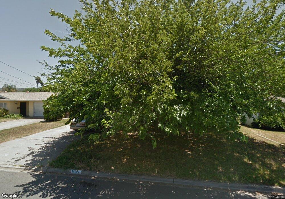
This home is located at 14527 Biddeford St, Poway, CA 92064 and is currently estimated at $802,862, approximately $855 per square foot. 14527 Biddeford St is a home located in San Diego County with nearby schools including Garden Road Elementary, Twin Peaks Middle, and Poway High.
Ownership History
Date
Name
Owned For
Owner Type
Purchase Details
Closed on
Apr 2, 2024
Sold by
Adams Anthony James and Adams Kenneth Wesley
Bought by
Adams Kenneth Wesley and Adams Amber Lorraine
Current Estimated Value
Home Financials for this Owner
Home Financials are based on the most recent Mortgage that was taken out on this home.
Original Mortgage
$325,000
Outstanding Balance
$320,088
Interest Rate
6.82%
Mortgage Type
New Conventional
Estimated Equity
$482,774
Purchase Details
Closed on
Mar 5, 1999
Sold by
Va
Bought by
Adams Adele M
Purchase Details
Closed on
Jul 23, 1984
Create a Home Valuation Report for This Property
The Home Valuation Report is an in-depth analysis detailing your home's value as well as a comparison with similar homes in the area
Home Values in the Area
Average Home Value in this Area
Purchase History
| Date | Buyer | Sale Price | Title Company |
|---|---|---|---|
| Adams Kenneth Wesley | -- | Ticor Title | |
| Adams Adele M | -- | -- | |
| -- | $82,000 | -- |
Source: Public Records
Mortgage History
| Date | Status | Borrower | Loan Amount |
|---|---|---|---|
| Open | Adams Kenneth Wesley | $325,000 |
Source: Public Records
Tax History
| Year | Tax Paid | Tax Assessment Tax Assessment Total Assessment is a certain percentage of the fair market value that is determined by local assessors to be the total taxable value of land and additions on the property. | Land | Improvement |
|---|---|---|---|---|
| 2025 | $1,920 | $440,253 | $318,084 | $122,169 |
| 2024 | $1,920 | $163,244 | $58,696 | $104,548 |
| 2023 | $1,880 | $160,045 | $57,546 | $102,499 |
| 2022 | $1,849 | $156,908 | $56,418 | $100,490 |
| 2021 | $1,747 | $153,832 | $55,312 | $98,520 |
| 2020 | $1,724 | $152,255 | $54,745 | $97,510 |
| 2019 | $1,680 | $149,271 | $53,672 | $95,599 |
| 2018 | $1,633 | $146,345 | $52,620 | $93,725 |
| 2017 | $170 | $143,477 | $51,589 | $91,888 |
| 2016 | $1,555 | $140,665 | $50,578 | $90,087 |
| 2015 | $1,532 | $138,553 | $49,819 | $88,734 |
| 2014 | $1,497 | $135,840 | $48,844 | $86,996 |
Source: Public Records
Map
Nearby Homes
- 13419 Sebago Ave
- 14610 Fairburn St
- 14118 Ipava Dr
- 13746 Paseo Bonita
- 000 Carlson Ct 9 Unit 9
- 14003 Jasmine Ave Unit 193
- 14089 Pomegranate Ave Unit 214
- 13908 Hibiscus Ave Unit 40
- 13941 Wisteria Ave
- 13716 Midland Rd
- 13947 Midland Rd
- 13850 Midgrove Ct
- 0 Indian Springs Rd Unit NDP2602071
- 13329 Casa Vista St Unit 98
- 13619 Sycamore Tree Ln
- 12959 Creek Park Dr
- 13220 Dana Vista St Unit 114
- 13230 Creekside Ln
- 0 Pebble Canyon Dr Unit PTP2505722
- 13314 Buena Vista Unit 71
- 14521 Biddeford St
- 14533 Biddeford St
- 14528 Saco St
- 14522 Saco St
- 14534 Saco St
- 14515 Biddeford St
- 14539 Biddeford St
- 14526 Biddeford St
- 14516 Saco St
- 14520 Biddeford St
- 14540 Saco St
- 14532 Biddeford St
- 14509 Biddeford St
- 14514 Biddeford St
- 14545 Biddeford St
- 14510 Saco St
- 14546 Saco St
- 14525 Garden Rd
- 14508 Biddeford St
- 14529 Saco St
Your Personal Tour Guide
Ask me questions while you tour the home.