1453 Bombing Range Rd Gilbert, SC 29054
Estimated Value: $495,000 - $977,000
5
Beds
3
Baths
3,360
Sq Ft
$233/Sq Ft
Est. Value
About This Home
This home is located at 1453 Bombing Range Rd, Gilbert, SC 29054 and is currently estimated at $781,265, approximately $232 per square foot. 1453 Bombing Range Rd is a home with nearby schools including Centerville Elementary School, Gilbert Middle School, and Gilbert High School.
Ownership History
Date
Name
Owned For
Owner Type
Purchase Details
Closed on
Nov 28, 2023
Sold by
Spear Philip B
Bought by
Spear Philip B and Spear Adir Galdino
Current Estimated Value
Purchase Details
Closed on
Sep 25, 2001
Sold by
Realty Income Corp
Bought by
P&H Properties Of Lex Llc
Create a Home Valuation Report for This Property
The Home Valuation Report is an in-depth analysis detailing your home's value as well as a comparison with similar homes in the area
Home Values in the Area
Average Home Value in this Area
Purchase History
| Date | Buyer | Sale Price | Title Company |
|---|---|---|---|
| Spear Philip B | -- | None Listed On Document | |
| P&H Properties Of Lex Llc | $355,000 | -- |
Source: Public Records
Tax History
| Year | Tax Paid | Tax Assessment Tax Assessment Total Assessment is a certain percentage of the fair market value that is determined by local assessors to be the total taxable value of land and additions on the property. | Land | Improvement |
|---|---|---|---|---|
| 2024 | $1,751 | $10,743 | $7,392 | $3,351 |
| 2023 | $1,604 | $10,743 | $7,392 | $3,351 |
| 2022 | $1,599 | $10,743 | $7,392 | $3,351 |
| 2020 | $1,640 | $10,743 | $7,392 | $3,351 |
| 2019 | $1,523 | $9,801 | $6,160 | $3,641 |
| 2018 | $1,479 | $9,687 | $6,160 | $3,527 |
| 2017 | $1,434 | $9,687 | $6,160 | $3,527 |
| 2016 | $1,421 | $9,686 | $6,160 | $3,526 |
| 2014 | $1,605 | $11,435 | $7,533 | $3,902 |
| 2013 | -- | $11,440 | $7,530 | $3,910 |
Source: Public Records
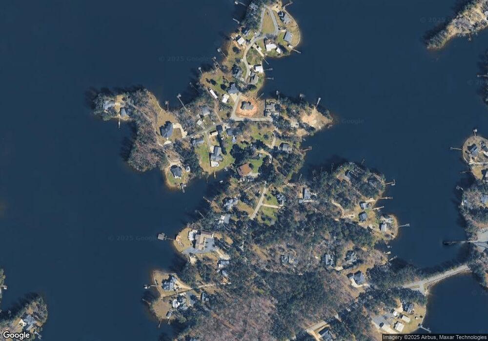
Map
Nearby Homes
- 1459 Bombing Range Rd
- 1633 Barracks Dr
- 1233 Shull Island Rd
- 1148 Shull Island Rd
- 1317 Shore Rd
- 180 Lillian St
- 116 Aloha Ct
- 417 Dot Ct
- 870 Shore Rd
- 0 Misty Cir Unit 566318
- 148 Pintail Lake Dr
- 157 Blue Wing Dr
- 274 Pintail Lake Dr
- 1 Downing Cir
- 278 Pintail Lake Dr
- 157 Collins Cove Dr
- 64 Downing Cir
- 532 Radnor Hunt Ct
- 204 Chamois Ct
- 0 Counts Ferry Rd Unit LOT 5
- 1459 & 1457 Bombing Range Rd
- 1613 Bombing Range Ct
- 1445 Bombing Range Rd
- 1450 Bombing Range Rd
- 1414 Bombing Range Rd
- 1456 Bombing Range Rd
- 1621 Bombing Range Ct
- 1433 Bombing Range Rd
- 1516 Bombing Range Rd
- 1676 Barracks Dr
- 1502 Bombing Range Rd
- 1627 Bombing Range Ct
- 1616 Bombing Range Ct
- 1468 Bombing Range Rd
- 1610 Bombing Range Ct
- 1680 Barracks Dr
- 1525 Bombing Range Rd
- 1431 Bombing Range Rd
- 1464 Bombing Range Rd
- 1672 Barracks Dr
Your Personal Tour Guide
Ask me questions while you tour the home.