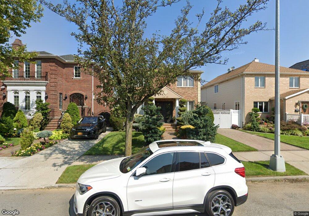
14535 5th Ave Whitestone, NY 11357
Whitestone NeighborhoodEstimated Value: $1,043,799 - $1,549,000
Studio
--
Bath
1,650
Sq Ft
$759/Sq Ft
Est. Value
About This Home
This home is located at 14535 5th Ave, Whitestone, NY 11357 and is currently estimated at $1,251,950, approximately $758 per square foot. 14535 5th Ave is a home located in Queens County with nearby schools including P.S. 79 - Francis Lewis, Jhs 185 Edward Bleeker, and Bayside High School.
Ownership History
Date
Name
Owned For
Owner Type
Purchase Details
Closed on
Nov 25, 1998
Sold by
Manniello Gelsomina
Bought by
Mouhlas Nikolaos
Current Estimated Value
Home Financials for this Owner
Home Financials are based on the most recent Mortgage that was taken out on this home.
Original Mortgage
$300,000
Interest Rate
6.62%
Purchase Details
Closed on
Jun 30, 1997
Sold by
Manniello Rocco and Manniello Gelsomina
Bought by
Manniello Gelsomina
Purchase Details
Closed on
Mar 16, 1995
Sold by
Maniello Gerardo and Manniello Rocco
Bought by
Manniello Rocco and Manniello Gelsomina
Create a Home Valuation Report for This Property
The Home Valuation Report is an in-depth analysis detailing your home's value as well as a comparison with similar homes in the area
Home Values in the Area
Average Home Value in this Area
Purchase History
| Date | Buyer | Sale Price | Title Company |
|---|---|---|---|
| Mouhlas Nikolaos | $485,000 | Fidelity National Title Ins | |
| Mouhlas Nikolaos | $485,000 | Fidelity National Title Ins | |
| Manniello Gelsomina | -- | Fidelity National Title Ins | |
| Manniello Gelsomina | -- | Fidelity National Title Ins | |
| Manniello Rocco | -- | First American Title Ins Co | |
| Manniello Rocco | -- | First American Title Ins Co |
Source: Public Records
Mortgage History
| Date | Status | Borrower | Loan Amount |
|---|---|---|---|
| Previous Owner | Mouhlas Nikolaos | $300,000 |
Source: Public Records
Tax History
| Year | Tax Paid | Tax Assessment Tax Assessment Total Assessment is a certain percentage of the fair market value that is determined by local assessors to be the total taxable value of land and additions on the property. | Land | Improvement |
|---|---|---|---|---|
| 2025 | $10,114 | $50,738 | $11,884 | $38,854 |
| 2024 | $10,114 | $50,358 | $12,375 | $37,983 |
| 2023 | $9,542 | $47,508 | $10,991 | $36,517 |
| 2022 | $8,947 | $61,500 | $14,700 | $46,800 |
| 2021 | $11,864 | $58,140 | $14,700 | $43,440 |
| 2020 | $11,575 | $57,360 | $14,700 | $42,660 |
| 2019 | $10,792 | $58,200 | $14,700 | $43,500 |
| 2018 | $9,624 | $48,672 | $13,597 | $35,075 |
| 2017 | $9,277 | $46,980 | $14,700 | $32,280 |
| 2016 | $9,347 | $46,980 | $14,700 | $32,280 |
| 2015 | $5,726 | $45,572 | $15,360 | $30,212 |
| 2014 | $5,726 | $42,993 | $14,491 | $28,502 |
Source: Public Records
Map
Nearby Homes
- 145-67 5th Ave
- 145-45 4th Ave
- 104 Malba Dr
- 6 Summit Place
- 2-07 Parsons Blvd
- 144-58 Boulevard
- 147-07 8th Ave
- 145-53 9th Ave
- 145-65 9th Ave
- 118 Malba Dr
- 145-85 9th Ave
- 14728 8th Ave
- 2-44 149th St
- 14910 7th Ave
- 3-24 150th St
- 23 Center Dr
- 27 Center Dr
- 1-06 Samos Ln
- 14962 Powells Cove Blvd
- 150-26 Sullivan Dr
Your Personal Tour Guide
Ask me questions while you tour the home.