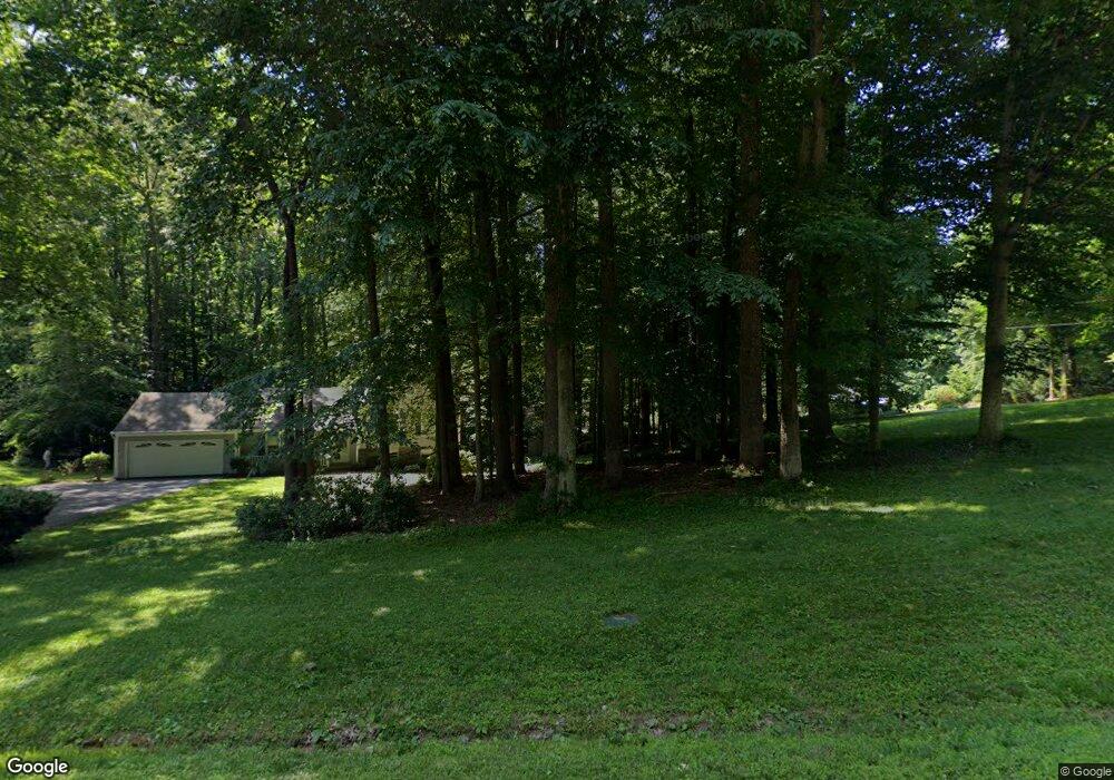
14561 Idlebrook Ct Manassas, VA 20112
Powells Creek NeighborhoodEstimated Value: $584,439 - $644,000
3
Beds
2
Baths
1,304
Sq Ft
$469/Sq Ft
Est. Value
About This Home
This home is located at 14561 Idlebrook Ct, Manassas, VA 20112 and is currently estimated at $611,110, approximately $468 per square foot. 14561 Idlebrook Ct is a home located in Prince William County with nearby schools including Kyle R. Wilson Elementary School, Charles J. Colgan Senior High School, and Louise A. Benton Middle School.
Ownership History
Date
Name
Owned For
Owner Type
Purchase Details
Closed on
Oct 1, 1993
Sold by
Fed Natl Mtge Assn
Bought by
Perrin David W
Current Estimated Value
Home Financials for this Owner
Home Financials are based on the most recent Mortgage that was taken out on this home.
Original Mortgage
$149,343
Interest Rate
7%
Create a Home Valuation Report for This Property
The Home Valuation Report is an in-depth analysis detailing your home's value as well as a comparison with similar homes in the area
Home Values in the Area
Average Home Value in this Area
Purchase History
| Date | Buyer | Sale Price | Title Company |
|---|---|---|---|
| Perrin David W | $147,500 | -- |
Source: Public Records
Mortgage History
| Date | Status | Borrower | Loan Amount |
|---|---|---|---|
| Closed | Perrin David W | $149,343 |
Source: Public Records
Tax History Compared to Growth
Tax History
| Year | Tax Paid | Tax Assessment Tax Assessment Total Assessment is a certain percentage of the fair market value that is determined by local assessors to be the total taxable value of land and additions on the property. | Land | Improvement |
|---|---|---|---|---|
| 2025 | $4,863 | $533,000 | $230,500 | $302,500 |
| 2024 | $4,863 | $489,000 | $211,600 | $277,400 |
| 2023 | $4,749 | $456,400 | $196,100 | $260,300 |
| 2022 | $4,944 | $446,400 | $190,500 | $255,900 |
| 2021 | $5,030 | $410,900 | $175,000 | $235,900 |
| 2020 | $5,726 | $369,400 | $157,700 | $211,700 |
| 2019 | $5,340 | $344,500 | $147,700 | $196,800 |
| 2018 | $4,237 | $350,900 | $150,500 | $200,400 |
| 2017 | $4,246 | $342,800 | $146,100 | $196,700 |
| 2016 | $4,181 | $340,700 | $144,400 | $196,300 |
| 2015 | $3,777 | $322,700 | $136,100 | $186,600 |
| 2014 | $3,777 | $300,400 | $126,100 | $174,300 |
Source: Public Records
Map
Nearby Homes
- 14791 Conway Dr
- 14520 Idlebrook Ct
- 6757 John Mallard Dr
- 6131 Lost Colony Dr
- 5850 Anthony Dr
- 14612 Bridle Creek Rd
- 6215 Haw Branch Ct
- 14452 Alps Dr
- 6031 Gholson Bridge Ct
- 14218 Roland Ct
- 14933 Spriggs Tree Ln
- 13780 Holly Forest Dr
- 5554 Barnes Ln
- 15158 Addison Ln
- 13827 Spriggs Rd
- 14368 Springbrook Ct
- 14288 Lindendale Rd
- 5611 Roundtree Dr
- 13750 Ensenada Ct
- 5337 Box Turtle Ct
- 14571 Idlebrook Ct
- 14551 Idlebrook Ct
- 14581 Idlebrook Ct
- 14541 Idlebrook Ct
- 14531 Idlebrook Ct
- 6530 Malbrook Ct
- 6520 Malbrook Ct
- 6540 Malbrook Ct
- 14751 Conway Dr
- 14761 Conway Dr
- 6550 Malbrook Ct
- 6560 Malbrook Ct
- 6510 Malbrook Ct
- 14771 Conway Dr
- 14580 Idlebrook Ct
- 14590 Idlebrook Ct
- 14570 Idlebrook Ct
- 14521 Idlebrook Ct
- 6500 Malbrook Ct
- 14760 Conway Dr