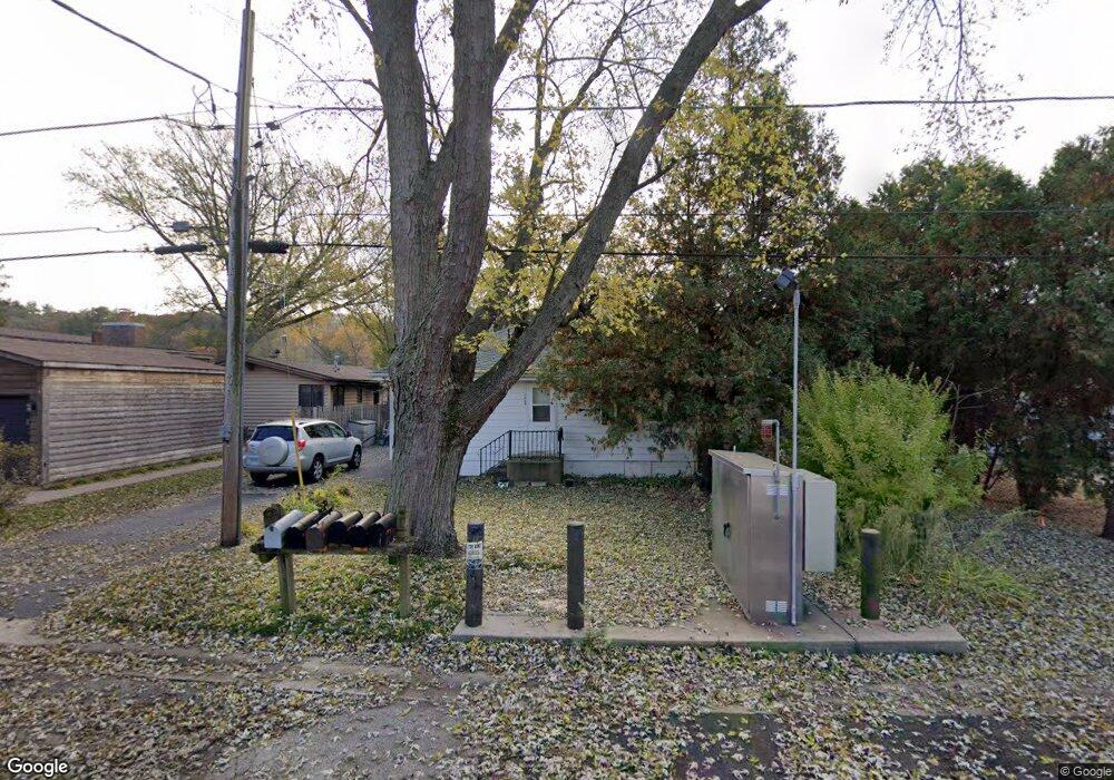
1459 Lowe Dr Algonquin, IL 60102
Merrill Algonquin Hills NeighborhoodEstimated Value: $244,000 - $302,000
3
Beds
1
Bath
1,157
Sq Ft
$237/Sq Ft
Est. Value
About This Home
This home is located at 1459 Lowe Dr, Algonquin, IL 60102 and is currently estimated at $274,785, approximately $237 per square foot. 1459 Lowe Dr is a home located in McHenry County with nearby schools including Eastview Elementary School, Algonquin Middle School, and Dundee-Crown High School.
Ownership History
Date
Name
Owned For
Owner Type
Purchase Details
Closed on
Jan 17, 2025
Sold by
Trust Number 3855 and Chicago Title Land Trust Company
Bought by
Home State Bank National Association and Trust Number 6892
Current Estimated Value
Purchase Details
Closed on
Feb 25, 2000
Sold by
Walters Phyllis K
Bought by
Harris Bank Woodstock and Trust #3855
Purchase Details
Closed on
Dec 22, 1999
Sold by
Coyne James and Coyne Geraldine
Bought by
Walters Phyllis K
Create a Home Valuation Report for This Property
The Home Valuation Report is an in-depth analysis detailing your home's value as well as a comparison with similar homes in the area
Home Values in the Area
Average Home Value in this Area
Purchase History
| Date | Buyer | Sale Price | Title Company |
|---|---|---|---|
| Home State Bank National Association | -- | None Listed On Document | |
| Harris Bank Woodstock | -- | -- | |
| Walters Phyllis K | $120,500 | -- |
Source: Public Records
Tax History
| Year | Tax Paid | Tax Assessment Tax Assessment Total Assessment is a certain percentage of the fair market value that is determined by local assessors to be the total taxable value of land and additions on the property. | Land | Improvement |
|---|---|---|---|---|
| 2024 | $5,802 | $74,166 | $25,555 | $48,611 |
| 2023 | $5,553 | $66,332 | $22,856 | $43,476 |
| 2022 | $5,846 | $68,166 | $29,721 | $38,445 |
| 2021 | $5,635 | $63,505 | $27,689 | $35,816 |
| 2020 | $5,500 | $61,257 | $26,709 | $34,548 |
| 2019 | $5,384 | $58,631 | $25,564 | $33,067 |
| 2018 | $5,163 | $54,163 | $23,616 | $30,547 |
| 2017 | $5,081 | $51,025 | $22,248 | $28,777 |
| 2016 | $5,033 | $47,857 | $20,867 | $26,990 |
| 2013 | -- | $44,643 | $19,465 | $25,178 |
Source: Public Records
Map
Nearby Homes
- 1439 Lowe Dr
- 9 Echowood Dr
- 1302 Cary Rd
- 1625 Powder Horn Dr
- 1730 Tanglewood Dr
- lot 021 Route 31 Hwy
- 953 Old Oak Cir
- 1188 E Algonquin Rd
- 600 E Algonquin Rd
- 2110 Aspen Dr
- 0 River Dr N Unit MRD12473279
- 3 Sunset Ln
- 719 Webster St
- 1770 E Algonquin Rd
- Lot 4 b Ryan Pkwy
- 108 La Fox Dr
- 1782 Cumberland Pkwy
- 2 Cumberland Pkwy
- 9416 3rd Ave
- 1923 Ozark Pkwy
Your Personal Tour Guide
Ask me questions while you tour the home.