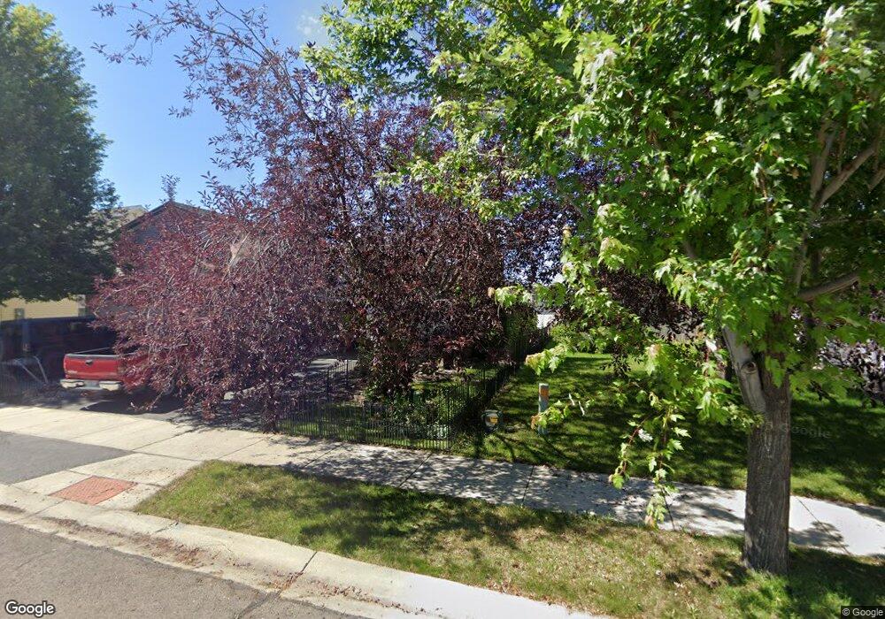
146 Barron Way Kalispell, MT 59901
Estimated Value: $355,221 - $402,000
2
Beds
1
Bath
1,074
Sq Ft
$349/Sq Ft
Est. Value
About This Home
This home is located at 146 Barron Way, Kalispell, MT 59901 and is currently estimated at $374,805, approximately $348 per square foot. 146 Barron Way is a home with nearby schools including Edgerton School, Kalispell Middle School, and Glacier High School.
Ownership History
Date
Name
Owned For
Owner Type
Purchase Details
Closed on
Jun 13, 2023
Sold by
Nicholson Laura
Bought by
Nicolson Audrey and Markegard Cade
Current Estimated Value
Purchase Details
Closed on
May 10, 2022
Sold by
Bloom Trust
Bought by
Nicholson Laura
Purchase Details
Closed on
Nov 5, 2007
Sold by
Skye Inc
Bought by
Moore Robert L and Moore Christina L
Home Financials for this Owner
Home Financials are based on the most recent Mortgage that was taken out on this home.
Original Mortgage
$159,398
Interest Rate
6.35%
Mortgage Type
FHA
Create a Home Valuation Report for This Property
The Home Valuation Report is an in-depth analysis detailing your home's value as well as a comparison with similar homes in the area
Purchase History
| Date | Buyer | Sale Price | Title Company |
|---|---|---|---|
| Nicolson Audrey | -- | None Listed On Document | |
| Nicholson Laura | -- | None Listed On Document | |
| Moore Robert L | -- | Alliance Title | |
| Skye Inc | -- | Alliance Title |
Source: Public Records
Mortgage History
| Date | Status | Borrower | Loan Amount |
|---|---|---|---|
| Previous Owner | Skye Inc | $159,398 |
Source: Public Records
Tax History
| Year | Tax Paid | Tax Assessment Tax Assessment Total Assessment is a certain percentage of the fair market value that is determined by local assessors to be the total taxable value of land and additions on the property. | Land | Improvement |
|---|---|---|---|---|
| 2025 | $1,762 | $366,400 | $0 | $0 |
| 2024 | $2,140 | $274,800 | $0 | $0 |
| 2023 | $2,333 | $274,800 | $0 | $0 |
| 2022 | $2,159 | $214,900 | $0 | $0 |
| 2021 | $2,313 | $214,900 | $0 | $0 |
| 2020 | $2,240 | $187,000 | $0 | $0 |
| 2019 | $2,246 | $187,000 | $0 | $0 |
| 2018 | $1,984 | $156,000 | $0 | $0 |
| 2017 | $1,991 | $156,000 | $0 | $0 |
| 2016 | $1,724 | $146,100 | $0 | $0 |
| 2015 | $1,725 | $146,100 | $0 | $0 |
| 2014 | $1,589 | $79,924 | $0 | $0 |
Source: Public Records
Map
Nearby Homes
- 90 Empire Loop
- 140 Barron Way
- 63 Empire Loop
- 119 Barron Way
- 108 Hearst Dr
- 249 Three Mile Dr
- 38 Vanderbilt Dr
- 188 N Riding Rd
- 17 Empire Loop
- 174 Empire Loop
- 28 Vista Loop
- 507 Northridge Dr
- 120 Garland St
- 106 Northern Lights Blvd
- 210 Kara Dr
- 287 Kara Dr
- 240 Kara Dr
- 224 Kara Dr
- 408 Needlegrass Ln
- 417 Needlegrass Ln
Your Personal Tour Guide
Ask me questions while you tour the home.