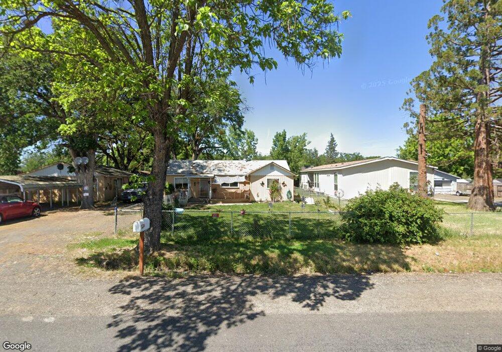
146 Orr Dr Central Point, OR 97502
Estimated Value: $308,906 - $357,000
3
Beds
1
Bath
1,204
Sq Ft
$279/Sq Ft
Est. Value
About This Home
This home is located at 146 Orr Dr, Central Point, OR 97502 and is currently estimated at $336,302, approximately $279 per square foot. 146 Orr Dr is a home located in Jackson County with nearby schools including Jewett Elementary School, Scenic Middle School, and Crater High School.
Ownership History
Date
Name
Owned For
Owner Type
Purchase Details
Closed on
Mar 4, 2005
Sold by
Garrison Carol T and Poole Carol T
Bought by
Garrison Clinton and Garrison Karen
Current Estimated Value
Create a Home Valuation Report for This Property
The Home Valuation Report is an in-depth analysis detailing your home's value as well as a comparison with similar homes in the area
Home Values in the Area
Average Home Value in this Area
Purchase History
| Date | Buyer | Sale Price | Title Company |
|---|---|---|---|
| Garrison Clinton | -- | -- |
Source: Public Records
Tax History Compared to Growth
Tax History
| Year | Tax Paid | Tax Assessment Tax Assessment Total Assessment is a certain percentage of the fair market value that is determined by local assessors to be the total taxable value of land and additions on the property. | Land | Improvement |
|---|---|---|---|---|
| 2025 | $1,892 | $154,000 | $83,080 | $70,920 |
| 2024 | $1,892 | $149,520 | $70,740 | $78,780 |
| 2023 | $1,829 | $145,170 | $68,680 | $76,490 |
| 2022 | $1,790 | $145,170 | $68,680 | $76,490 |
| 2021 | $1,740 | $140,950 | $66,690 | $74,260 |
| 2020 | $1,689 | $136,850 | $64,740 | $72,110 |
| 2019 | $1,650 | $129,000 | $61,030 | $67,970 |
| 2018 | $1,599 | $125,250 | $59,250 | $66,000 |
| 2017 | $1,561 | $125,250 | $59,250 | $66,000 |
| 2016 | $1,515 | $118,070 | $55,850 | $62,220 |
| 2015 | $1,445 | $118,070 | $55,850 | $62,220 |
| 2014 | $1,410 | $111,310 | $52,640 | $58,670 |
Source: Public Records
Map
Nearby Homes
- 225 Wilson Rd
- 644 Raven
- 6850 Downing Rd Unit 44
- 6850 Downing Rd Unit 65
- 2035 Rabun Way
- 2598 St James Way
- 2330 Savannah Dr
- 1409 Twin Rocks Dr
- 2248 Evan Way
- 2225 New Haven Dr
- 1729 E Gregory Rd
- 5156 Peace Ln
- 4922 Gebhard Rd
- 705 Mountain Ave
- 4730 Gebhard Rd
- 1121 Annalise St
- 1113 Annalise St
- 4595 Table Rock Rd
- 4824 Airway Dr Unit 371W06BB410
- 1182 E Justice Rd