Estimated Value: $468,000 - $503,455
3
Beds
2
Baths
1,512
Sq Ft
$322/Sq Ft
Est. Value
About This Home
This home is located at 146 Shoreline Dr, Ware, MA 01082 and is currently estimated at $486,614, approximately $321 per square foot. 146 Shoreline Dr is a home located in Hampshire County with nearby schools including Stanley M. Koziol Elementary School, Ware Middle School, and Ware Junior/Senior High School.
Ownership History
Date
Name
Owned For
Owner Type
Purchase Details
Closed on
Aug 4, 1999
Sold by
Shawmut First B&T Co and Cordes Wayne
Bought by
Bernardos Patricia and Chester Peter
Current Estimated Value
Home Financials for this Owner
Home Financials are based on the most recent Mortgage that was taken out on this home.
Original Mortgage
$123,750
Interest Rate
7.54%
Mortgage Type
Purchase Money Mortgage
Create a Home Valuation Report for This Property
The Home Valuation Report is an in-depth analysis detailing your home's value as well as a comparison with similar homes in the area
Home Values in the Area
Average Home Value in this Area
Purchase History
| Date | Buyer | Sale Price | Title Company |
|---|---|---|---|
| Bernardos Patricia | $23,000 | -- |
Source: Public Records
Mortgage History
| Date | Status | Borrower | Loan Amount |
|---|---|---|---|
| Open | Bernardos Patricia | $118,200 | |
| Closed | Bernardos Patricia | $124,700 | |
| Closed | Bernardos Patricia | $123,750 |
Source: Public Records
Tax History
| Year | Tax Paid | Tax Assessment Tax Assessment Total Assessment is a certain percentage of the fair market value that is determined by local assessors to be the total taxable value of land and additions on the property. | Land | Improvement |
|---|---|---|---|---|
| 2025 | $7,229 | $480,000 | $148,700 | $331,300 |
| 2024 | $7,019 | $429,800 | $140,300 | $289,500 |
| 2023 | $6,697 | $388,000 | $133,300 | $254,700 |
| 2022 | $6,581 | $340,300 | $123,400 | $216,900 |
| 2021 | $6,456 | $319,900 | $123,400 | $196,500 |
| 2020 | $6,383 | $309,400 | $123,400 | $186,000 |
| 2019 | $6,253 | $309,400 | $123,400 | $186,000 |
| 2018 | $5,726 | $276,500 | $105,800 | $170,700 |
| 2017 | $5,641 | $271,600 | $105,800 | $165,800 |
| 2016 | $5,489 | $271,600 | $105,800 | $165,800 |
| 2015 | $5,337 | $271,600 | $105,800 | $165,800 |
| 2014 | $5,156 | $281,600 | $111,000 | $170,600 |
Source: Public Records
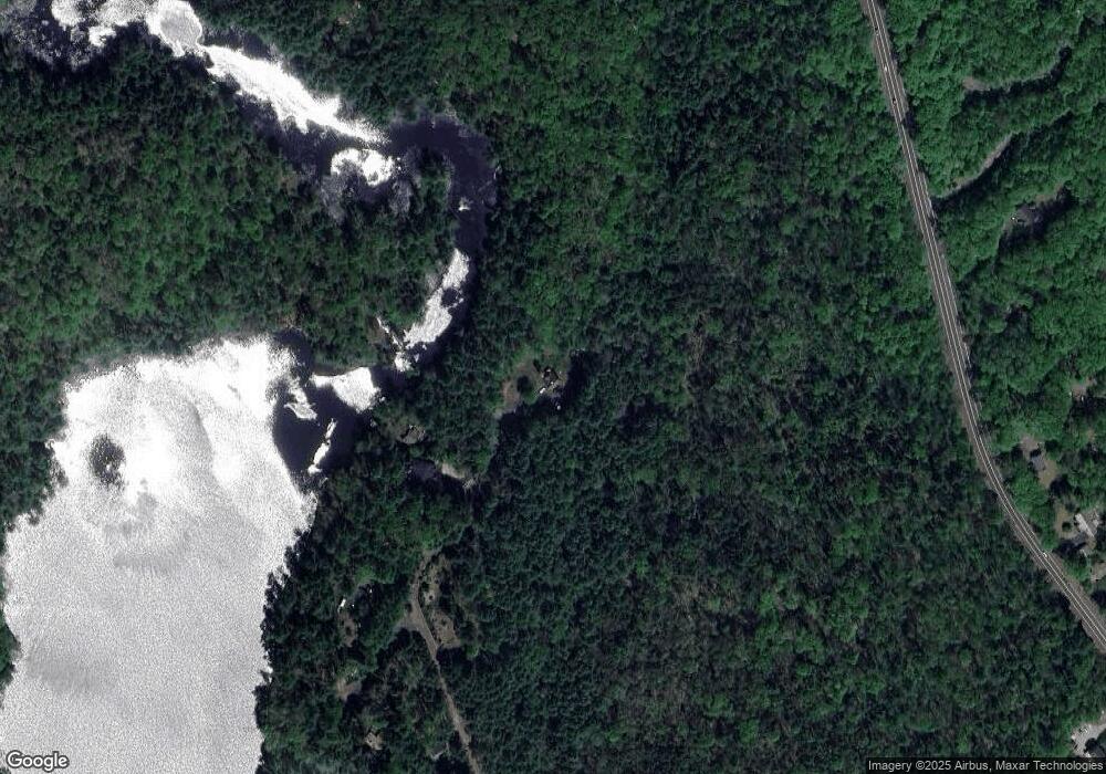
Map
Nearby Homes
- 20 Indian Hill Rd
- 24 Monson Turnpike Rd
- Lot 7 Monson Turnpike Rd
- Lot 1 Monson Turnpike Rd
- 0 Beach Rd
- 207 Monson Turnpike Rd
- 375 Belchertown Rd
- 248 Monson Turnpike Rd
- Lot 16 Coldbrook Dr
- Lot 20 Coldbrook Dr
- Lot 22 Coldbrook Dr
- Lot 13 Coldbrook Dr
- Lot 25 Coldbrook Dr
- 67 Babcock Tavern Rd
- 32 Coffey Hill Rd
- 113 Greenwich Plains Rd
- 57 Babcock Tavern Rd
- 49 Babcock Tavern Rd
- Lot 5 Babcock Tavern Rd
- Lot 4 Babcock Tavern Rd
- 142 Shoreline Dr
- 140 Shoreline Dr
- 1 Lake View Cir
- 9 Lake View Cir
- 124 Shoreline Dr
- 4 Lake View Cir
- 120 Shoreline Dr
- 425 Belchertown Rd
- 0 (Lot D) Belchertown Rd
- 433 Belchertown Rd
- 116 Shoreline Dr
- 427 Belchertown Rd
- 111 Shoreline Dr
- 421 Belchertown Rd
- 114 Shoreline Dr
- 110 Shoreline Dr
- 419 Belchertown Rd
- 108 Shoreline Dr
- 431 Belchertown Rd
- 105 Shoreline Dr
Your Personal Tour Guide
Ask me questions while you tour the home.