Estimated Value: $1,325,576
--
Bed
--
Bath
13,440
Sq Ft
$99/Sq Ft
Est. Value
About This Home
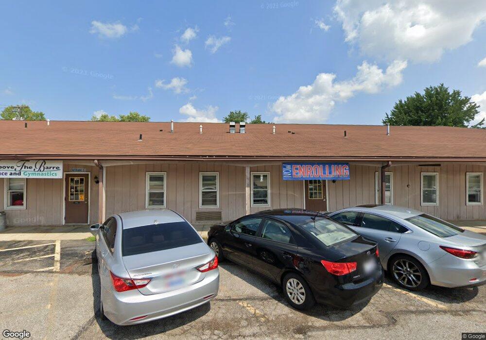
This home is located at 1460 W Bagley Rd, Berea, OH 44017 and is currently estimated at $1,325,576, approximately $98 per square foot. 1460 W Bagley Rd is a home located in Cuyahoga County with nearby schools including Grindstone Elementary School, Berea-Midpark Middle School, and Berea-Midpark High School.
Ownership History
Date
Name
Owned For
Owner Type
Purchase Details
Closed on
Feb 22, 2008
Sold by
Retsch Paul
Bought by
High Bar Llc
Current Estimated Value
Purchase Details
Closed on
Jan 12, 2007
Sold by
Thorne Geneva I and Paulot Arnold P
Bought by
Retsch Paul
Home Financials for this Owner
Home Financials are based on the most recent Mortgage that was taken out on this home.
Original Mortgage
$600,000
Interest Rate
6.24%
Mortgage Type
Commercial
Purchase Details
Closed on
Mar 22, 1995
Sold by
Olmsted Commerce Park As
Bought by
Thome Geneva I
Home Financials for this Owner
Home Financials are based on the most recent Mortgage that was taken out on this home.
Original Mortgage
$127,725
Interest Rate
8.82%
Mortgage Type
Commercial
Create a Home Valuation Report for This Property
The Home Valuation Report is an in-depth analysis detailing your home's value as well as a comparison with similar homes in the area
Home Values in the Area
Average Home Value in this Area
Purchase History
| Date | Buyer | Sale Price | Title Company |
|---|---|---|---|
| High Bar Llc | -- | Attorney | |
| Retsch Paul | $745,000 | Land Title Agency | |
| Thome Geneva I | $217,725 | -- |
Source: Public Records
Mortgage History
| Date | Status | Borrower | Loan Amount |
|---|---|---|---|
| Previous Owner | Retsch Paul | $600,000 | |
| Previous Owner | Thome Geneva I | $127,725 |
Source: Public Records
Tax History Compared to Growth
Tax History
| Year | Tax Paid | Tax Assessment Tax Assessment Total Assessment is a certain percentage of the fair market value that is determined by local assessors to be the total taxable value of land and additions on the property. | Land | Improvement |
|---|---|---|---|---|
| 2024 | $17,764 | $192,290 | $85,155 | $107,135 |
| 2023 | $15,941 | $159,850 | $85,160 | $74,690 |
| 2022 | $16,373 | $159,850 | $85,160 | $74,690 |
| 2021 | $16,011 | $159,850 | $85,160 | $74,690 |
| 2020 | $16,231 | $159,850 | $85,160 | $74,690 |
| 2019 | $15,705 | $456,700 | $243,300 | $213,400 |
| 2018 | $15,871 | $159,850 | $85,160 | $74,690 |
| 2017 | $14,557 | $151,830 | $37,450 | $114,380 |
| 2016 | $14,462 | $151,830 | $37,450 | $114,380 |
| 2015 | $19,998 | $151,830 | $37,450 | $114,380 |
| 2014 | $19,998 | $172,550 | $42,560 | $129,990 |
Source: Public Records
Map
Nearby Homes
- 8241 Lewis Rd
- 0
- 136 River Rock Way Unit D
- 260 Stone Ridge Way
- 281-12-024 River Rd
- 281-12-007 River Rd
- 100 River Rock Way
- V/L Columbia Rd
- 25950 Bagley Rd
- 8757 Roberts Ct Unit 25C
- 228 Stone Ridge Way
- 7593 Columbia Rd
- Anderson Plan at Smokestack Trails
- Bramante Ranch Plan at Smokestack Trails
- Hudson Plan at Smokestack Trails
- Columbia Plan at Smokestack Trails
- Lehigh Plan at Smokestack Trails
- 105 Clay Ct
- 25725 Cook Rd
- 109 Marble Ct
- 1464 W Bagley Rd
- 1467 W Bagley Rd
- 1500 W Bagley Rd
- 8063 Lewis Rd
- 1433 W Bagley Rd Unit 300
- 1433 W Bagley Rd
- 1433 W Bagley Rd Unit 400
- 8279 Lewis Rd
- 1460 Loriann Dr
- 1368 W Bagley Rd
- 1470 Loriann Dr
- 1450 Loriann Dr
- 1480 Loriann Dr
- 1440 Loriann Dr
- 1490 Loriann Dr
- 1420 Loriann Dr
- 1500 Loriann Dr
- 8268 Lewis Rd
- 8246 Lewis Rd
- 8106 Lewis Rd