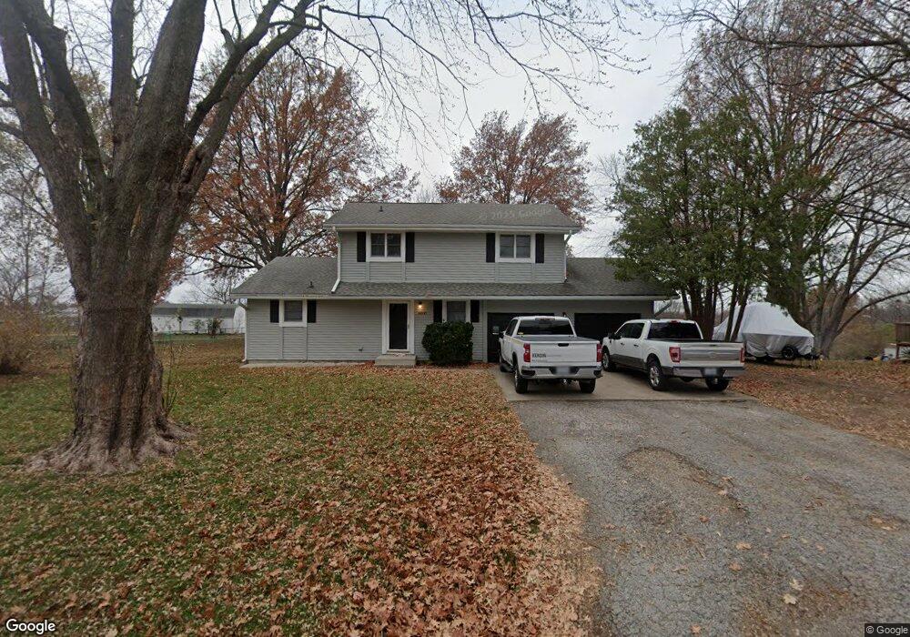
14600 Red Rock Dr Platte City, MO 64079
Estimated Value: $326,000 - $409,000
3
Beds
3
Baths
2,008
Sq Ft
$186/Sq Ft
Est. Value
About This Home
This home is located at 14600 Red Rock Dr, Platte City, MO 64079 and is currently estimated at $372,788, approximately $185 per square foot. 14600 Red Rock Dr is a home located in Platte County with nearby schools including Platte County High School.
Ownership History
Date
Name
Owned For
Owner Type
Purchase Details
Closed on
Apr 26, 2017
Sold by
Sellers Ronnie R
Bought by
Martin Joseph S and Martin Jackie W
Current Estimated Value
Purchase Details
Closed on
Oct 3, 2007
Sold by
Sirva Relocation Credit Llc
Bought by
Sellers Ronnie R
Home Financials for this Owner
Home Financials are based on the most recent Mortgage that was taken out on this home.
Original Mortgage
$128,000
Interest Rate
6.47%
Mortgage Type
New Conventional
Purchase Details
Closed on
Sep 28, 2007
Sold by
Sherrow Bryan and Sherrow Sabra
Bought by
County Of Portgage
Home Financials for this Owner
Home Financials are based on the most recent Mortgage that was taken out on this home.
Original Mortgage
$128,000
Interest Rate
6.47%
Mortgage Type
New Conventional
Create a Home Valuation Report for This Property
The Home Valuation Report is an in-depth analysis detailing your home's value as well as a comparison with similar homes in the area
Home Values in the Area
Average Home Value in this Area
Purchase History
| Date | Buyer | Sale Price | Title Company |
|---|---|---|---|
| Martin Joseph S | -- | Stewart Title Company | |
| Sellers Ronnie R | -- | None Available | |
| County Of Portgage | -- | None Available |
Source: Public Records
Mortgage History
| Date | Status | Borrower | Loan Amount |
|---|---|---|---|
| Previous Owner | Sellers Ronnie R | $128,000 |
Source: Public Records
Tax History Compared to Growth
Tax History
| Year | Tax Paid | Tax Assessment Tax Assessment Total Assessment is a certain percentage of the fair market value that is determined by local assessors to be the total taxable value of land and additions on the property. | Land | Improvement |
|---|---|---|---|---|
| 2024 | $3,382 | $50,849 | $7,100 | $43,749 |
| 2023 | $3,382 | $50,849 | $7,100 | $43,749 |
| 2022 | $2,981 | $44,409 | $7,100 | $37,309 |
| 2021 | $2,989 | $44,409 | $7,100 | $37,309 |
| 2020 | $2,718 | $39,922 | $5,571 | $34,351 |
| 2019 | $2,718 | $39,922 | $5,571 | $34,351 |
| 2018 | $1,780 | $25,935 | $3,420 | $22,515 |
| 2017 | $1,771 | $25,935 | $3,420 | $22,515 |
| 2016 | $1,757 | $25,935 | $3,420 | $22,515 |
| 2015 | $1,756 | $25,935 | $3,420 | $22,515 |
| 2013 | $1,609 | $25,935 | $0 | $0 |
Source: Public Records
Map
Nearby Homes
- 14660 Cobblestone Dr
- 12815 NW 145th St
- 24 Timber Creek Dr
- 2705 Mercer Ln
- 2609 Mercer Ln
- 2701 Mercer Ln
- 2709 Mercer Ln
- 2305 Windmill Dr
- 105 Johnson Cir
- 4817 NW 140th St
- Harmony Plan at Windmill Creek
- Hillman Plan at Windmill Creek
- 4812 NW 140th St
- Newcastle Plan at Windmill Creek
- Holcombe Plan at Windmill Creek
- Bellamy Plan at Windmill Creek
- Reagan Plan at Windmill Creek
- Chatham Plan at Windmill Creek
- 2500 Windmill Dr
- 2503 Windmill Cir
- 14620 Red Rock Dr
- 14580 Red Rock Dr
- 14605 Leipard Ln
- 14615 Leipard Ln
- 14585 Leipard Ln
- 14605 Red Rock Dr
- 14640 Red Rock Dr
- 14625 Red Rock Dr
- 14585 Red Rock Dr
- 14560 Red Rock Dr
- 14635 Leipard Ln
- 14555 Leipard Ln
- 14660 Red Rock Dr
- 14555 Red Rock Dr
- 14610 Cobblestone Dr
- 11870 Flint St
- 14610 Leipard Ln
- 14630 Cobblestone Dr
- 14655 Leipard Ln
- 14655 Red Rock Dr