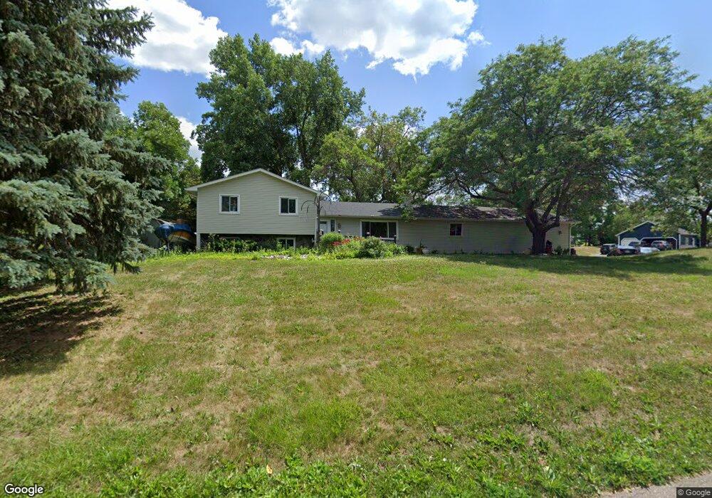
14605 Brenner Ln Shakopee, MN 55379
Estimated Value: $405,000 - $481,000
4
Beds
2
Baths
1,344
Sq Ft
$328/Sq Ft
Est. Value
About This Home
This home is located at 14605 Brenner Ln, Shakopee, MN 55379 and is currently estimated at $440,873, approximately $328 per square foot. 14605 Brenner Ln is a home located in Scott County with nearby schools including Sweeney Elementary School, East Middle School, and Shakopee Senior High School.
Ownership History
Date
Name
Owned For
Owner Type
Purchase Details
Closed on
Mar 9, 2022
Sold by
Kern Llc
Bought by
Larson Christopher Glenn and Larson Stephanie Ann
Current Estimated Value
Home Financials for this Owner
Home Financials are based on the most recent Mortgage that was taken out on this home.
Original Mortgage
$390,500
Outstanding Balance
$364,853
Interest Rate
3.92%
Mortgage Type
VA
Estimated Equity
$76,020
Purchase Details
Closed on
Jan 18, 2019
Sold by
Rfc Fields Llc
Bought by
Kern Llc
Home Financials for this Owner
Home Financials are based on the most recent Mortgage that was taken out on this home.
Original Mortgage
$235,200
Interest Rate
4.6%
Mortgage Type
Commercial
Purchase Details
Closed on
Aug 30, 2002
Sold by
Mckenzie Scott A and Mckenzie Teresa M
Bought by
Freeman Troy A and Freeman Mary Anne
Create a Home Valuation Report for This Property
The Home Valuation Report is an in-depth analysis detailing your home's value as well as a comparison with similar homes in the area
Home Values in the Area
Average Home Value in this Area
Purchase History
| Date | Buyer | Sale Price | Title Company |
|---|---|---|---|
| Larson Christopher Glenn | $390,500 | None Listed On Document | |
| Kern Llc | $322,500 | None Listed On Document | |
| Kern Llc | $322,500 | None Available | |
| Rfc Fields Llc | $305,500 | Scott County Abstract & Titl | |
| Freeman Troy A | $220,000 | -- |
Source: Public Records
Mortgage History
| Date | Status | Borrower | Loan Amount |
|---|---|---|---|
| Open | Larson Christopher Glenn | $390,500 | |
| Previous Owner | Rfc Fields Llc | $235,200 | |
| Previous Owner | Kern Llc | $322,500 |
Source: Public Records
Tax History Compared to Growth
Tax History
| Year | Tax Paid | Tax Assessment Tax Assessment Total Assessment is a certain percentage of the fair market value that is determined by local assessors to be the total taxable value of land and additions on the property. | Land | Improvement |
|---|---|---|---|---|
| 2025 | $2,828 | $408,700 | $176,000 | $232,700 |
| 2024 | $2,958 | $366,300 | $163,200 | $203,100 |
| 2023 | $2,848 | $366,400 | $163,200 | $203,200 |
| 2022 | $2,608 | $350,000 | $157,100 | $192,900 |
| 2021 | $2,384 | $266,500 | $112,300 | $154,200 |
| 2020 | $2,690 | $272,800 | $118,600 | $154,200 |
| 2019 | $2,596 | $263,300 | $114,600 | $148,700 |
| 2018 | $2,480 | $0 | $0 | $0 |
| 2016 | $2,496 | $0 | $0 | $0 |
Source: Public Records
Map
Nearby Homes
- 265 Mallard Dr
- 13950 Marystown Rd
- 13720 Marystown Rd
- 14020 Townline Ave
- 746 Peninsula Point Rd
- 13864 Stonebrooke Curve
- 13599 Stonebrooke Curve
- 1017 Vista Ridge Ln
- 2657 Aspen Dr
- 1XX Stonebrooke Curve
- 3XX Stonebrooke Curve
- 1650 Denali Dr
- 1667 Denali Dr
- 981 Peninsula Point Rd
- 1742 Marsh View Terrace
- 1764 Marsh View Terrace
- 1634 Denali Dr
- 1695 Denali Dr
- 1719 Marsh View Terrace
- 1741 Marsh View Terrace