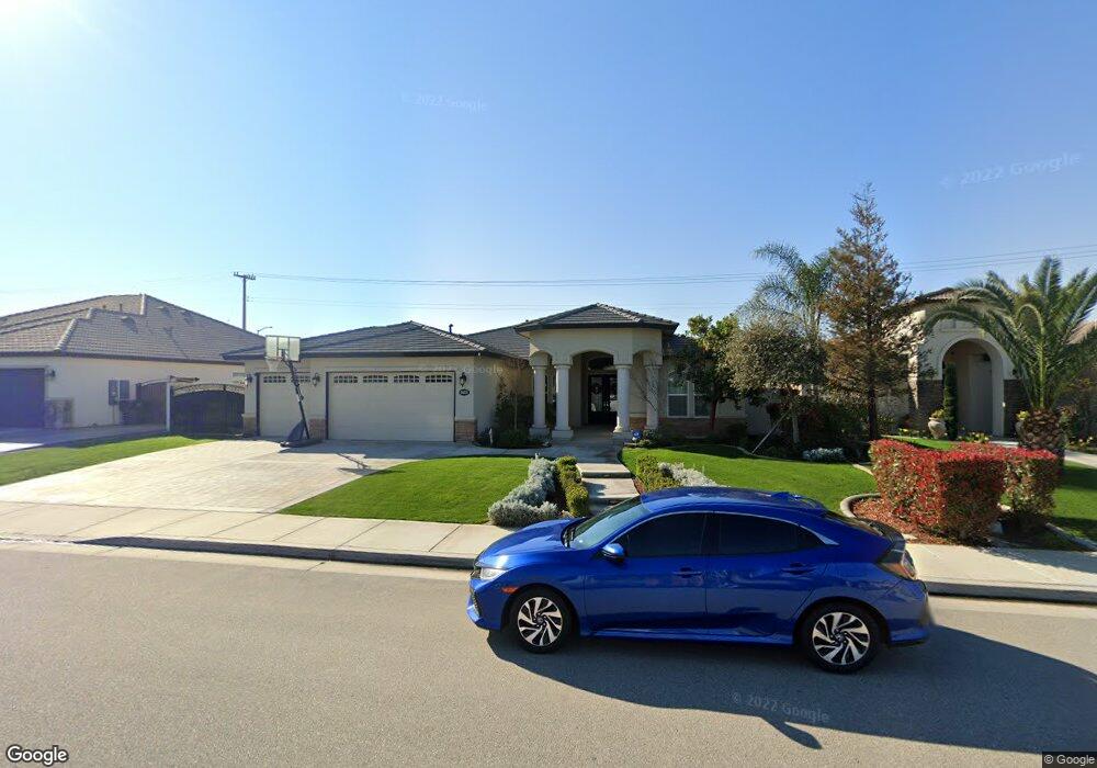
14615 Evadell Ct Bakersfield, CA 93314
Estimated Value: $673,253 - $781,000
4
Beds
2
Baths
2,704
Sq Ft
$263/Sq Ft
Est. Value
About This Home
This home is located at 14615 Evadell Ct, Bakersfield, CA 93314 and is currently estimated at $710,563, approximately $262 per square foot. 14615 Evadell Ct is a home with nearby schools including Patriot Elementary School, Freedom Middle School, and Frontier High School.
Ownership History
Date
Name
Owned For
Owner Type
Purchase Details
Closed on
Jul 17, 2015
Sold by
Brian Rice Construction Inc
Bought by
Choyce Darren M and Madkins Choyce Amanda R
Current Estimated Value
Home Financials for this Owner
Home Financials are based on the most recent Mortgage that was taken out on this home.
Original Mortgage
$415,865
Outstanding Balance
$325,621
Interest Rate
3.98%
Mortgage Type
New Conventional
Estimated Equity
$384,942
Purchase Details
Closed on
Jan 9, 2015
Sold by
Madison Builders Inc
Bought by
Brian Rice Construction Inc
Home Financials for this Owner
Home Financials are based on the most recent Mortgage that was taken out on this home.
Original Mortgage
$255,000
Interest Rate
3.87%
Mortgage Type
Construction
Create a Home Valuation Report for This Property
The Home Valuation Report is an in-depth analysis detailing your home's value as well as a comparison with similar homes in the area
Home Values in the Area
Average Home Value in this Area
Purchase History
| Date | Buyer | Sale Price | Title Company |
|---|---|---|---|
| Choyce Darren M | $438,000 | Placer Title Company | |
| Brian Rice Construction Inc | $80,000 | Ticor Title Company |
Source: Public Records
Mortgage History
| Date | Status | Borrower | Loan Amount |
|---|---|---|---|
| Open | Choyce Darren M | $415,865 | |
| Previous Owner | Brian Rice Construction Inc | $255,000 |
Source: Public Records
Tax History Compared to Growth
Tax History
| Year | Tax Paid | Tax Assessment Tax Assessment Total Assessment is a certain percentage of the fair market value that is determined by local assessors to be the total taxable value of land and additions on the property. | Land | Improvement |
|---|---|---|---|---|
| 2025 | $7,260 | $556,381 | $118,377 | $438,004 |
| 2024 | $7,090 | $545,473 | $116,056 | $429,417 |
| 2023 | $7,090 | $534,779 | $113,781 | $420,998 |
| 2022 | $6,941 | $524,294 | $111,550 | $412,744 |
| 2021 | $6,384 | $479,014 | $109,363 | $369,651 |
| 2020 | $6,289 | $474,103 | $108,242 | $365,861 |
| 2019 | $6,190 | $474,103 | $108,242 | $365,861 |
| 2018 | $6,027 | $455,695 | $104,040 | $351,655 |
| 2017 | $5,933 | $446,760 | $102,000 | $344,760 |
| 2016 | $5,635 | $438,000 | $100,000 | $338,000 |
| 2015 | $619 | $8,302 | $8,302 | $0 |
| 2014 | $310 | $8,140 | $8,140 | $0 |
Source: Public Records
Map
Nearby Homes
- 14507 Evadell Ct
- 14808 Glover Ct
- 14803 Pams Way
- 15002 Southernwood Ave
- 15020 Cotton Blossom Ave
- 14712 Pams Way
- 14526 Pams Way
- 14301 Shady Tree Ct
- 14300 Shady Tree Ct
- 14822 Plumeria Ct
- 14308 Cloverdale Ln
- 14631 Blue Stream Ave
- 5520 Leonard Alvarado Rd
- 14012 Cedar Creek Ave
- 12701 Hageman Rd
- 12403 Hageman Rd
- 13421 Cheyenne Mountain Dr
- 14925 Wayne Lee Ct
- 16727 Brookview Ct
- 16746 Starview Ct
- 14621 Evadell Ct
- 14609 Evadell Ct
- 14627 Evadell Ct
- 14603 Evadell Ct
- 14616 Evadell Ct
- 14610 Evadell Ct
- 14622 Evadell Ct
- 14618 Pomegranate Ave
- 14604 Evadell Ct
- 14610 Pomegranate Ave
- 14513 Evadell Ct
- 14628 Evadell Ct
- 14626 Pomegranate Ave
- 14602 Pomegranate Ave
- 14634 Pomegranate Ave
- 14705 Evadell Ct
- 14514 Evadell Ct
- 14528 Pomegranate Ave
- 14611 Wayne Lee Ct
- 14605 Wayne Lee Ct