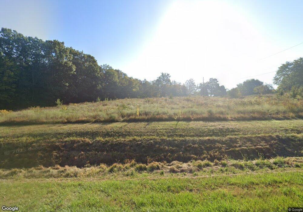
1463 State Route 89 Ashland, OH 44805
Estimated Value: $344,000 - $512,000
3
Beds
3
Baths
2,118
Sq Ft
$209/Sq Ft
Est. Value
About This Home
This home is located at 1463 State Route 89, Ashland, OH 44805 and is currently estimated at $442,174, approximately $208 per square foot. 1463 State Route 89 is a home located in Ashland County with nearby schools including Ashland High School.
Ownership History
Date
Name
Owned For
Owner Type
Purchase Details
Closed on
Mar 29, 2019
Sold by
Madden Michael M
Bought by
Schneeg Mark D and Schneeg Julianne J
Current Estimated Value
Home Financials for this Owner
Home Financials are based on the most recent Mortgage that was taken out on this home.
Original Mortgage
$95,000
Outstanding Balance
$83,522
Interest Rate
4.3%
Mortgage Type
Construction
Estimated Equity
$358,652
Purchase Details
Closed on
Mar 9, 2010
Sold by
Madden Michael M and Demarco-Madden Rita
Bought by
Madden Michael M and Demarco-M Rita L
Purchase Details
Closed on
Jul 5, 1994
Bought by
Madden Michael M
Create a Home Valuation Report for This Property
The Home Valuation Report is an in-depth analysis detailing your home's value as well as a comparison with similar homes in the area
Home Values in the Area
Average Home Value in this Area
Purchase History
| Date | Buyer | Sale Price | Title Company |
|---|---|---|---|
| Schneeg Mark D | $260,000 | -- | |
| Madden Michael M | -- | -- | |
| Madden Michael M | $26,000 | -- |
Source: Public Records
Mortgage History
| Date | Status | Borrower | Loan Amount |
|---|---|---|---|
| Open | Schneeg Mark D | $95,000 |
Source: Public Records
Tax History Compared to Growth
Tax History
| Year | Tax Paid | Tax Assessment Tax Assessment Total Assessment is a certain percentage of the fair market value that is determined by local assessors to be the total taxable value of land and additions on the property. | Land | Improvement |
|---|---|---|---|---|
| 2024 | $4,092 | $124,920 | $26,630 | $98,290 |
| 2023 | $4,092 | $124,920 | $26,630 | $98,290 |
| 2022 | $3,596 | $86,150 | $18,360 | $67,790 |
| 2021 | $3,610 | $86,150 | $18,360 | $67,790 |
| 2020 | $3,431 | $86,150 | $18,360 | $67,790 |
| 2019 | $2,791 | $75,580 | $18,980 | $56,600 |
| 2018 | $3,157 | $75,580 | $18,980 | $56,600 |
| 2017 | $3,017 | $75,580 | $18,980 | $56,600 |
| 2016 | $3,017 | $70,630 | $17,730 | $52,900 |
| 2015 | $2,991 | $70,630 | $17,730 | $52,900 |
| 2013 | $3,381 | $76,010 | $15,720 | $60,290 |
Source: Public Records
Map
Nearby Homes
- 1346 Ohio 89
- 1346 State Route 89
- 203 County Road 1302
- 486 Township Road 1275
- 0 Township Road 1275
- 156 U S 250
- 706 Township Road 1600
- 14 E South St
- 686 County Road 1302
- 144 Township Road 1650
- 1446 Township Road 805
- 0 Eagle Way
- 1457 Township Road 853
- 1435 Township Road 853
- 1653 State Route 60
- 1653 Ohio 60
- 1173 Township Road 753
- 1137 County Road 175
- 164 State Route 302
- 1845 County Road 655
- 1457 State Route 89
- 1465 State Route 89
- 1449 State Route 89
- 1451 State Route 89
- 1469 State Route 89
- 1463 Ohio 89
- 1457 Ohio 89
- 1477 State Route 89
- 1466 State Route 89
- 404 Township Road 1500
- 1470 State Route 89
- 1476 Ohio 89
- 1485 State Route 89
- 1456 State Route 89
- 1476 State Route 89
- 406 Township Road 1500
- 1436 State Route 89
- 438 Township Road 1500
- 1478 State Route 89
- 426 Township Road 1500
