14633 Blunts Bridge Rd Doswell, VA 23047
Estimated Value: $305,000 - $405,342
--
Bed
--
Bath
--
Sq Ft
10.23
Acres
About This Home
This home is located at 14633 Blunts Bridge Rd, Doswell, VA 23047 and is currently estimated at $350,336. 14633 Blunts Bridge Rd is a home located in Hanover County with nearby schools including Henry Clay Elementary School, Liberty Middle School, and Patrick Henry High School.
Ownership History
Date
Name
Owned For
Owner Type
Purchase Details
Closed on
Jul 7, 2025
Sold by
Hatch Allen F
Bought by
Allen F Hatch Trust and Hatch
Current Estimated Value
Purchase Details
Closed on
Sep 21, 2021
Sold by
Brannon Rebecca H and Worten Rebecca H
Bought by
Hatch Allen F
Purchase Details
Closed on
Aug 18, 2010
Sold by
Atlas Va I Spe Llc
Bought by
Brannon James T
Purchase Details
Closed on
Apr 20, 2010
Sold by
Samuel I White Pc
Bought by
Atlas Va I Spe Llc
Purchase Details
Closed on
Mar 1, 2007
Sold by
Park Avenue Properties
Bought by
Lang Wallace C
Home Financials for this Owner
Home Financials are based on the most recent Mortgage that was taken out on this home.
Original Mortgage
$500,000
Interest Rate
6.3%
Mortgage Type
Construction
Purchase Details
Closed on
Jul 14, 2006
Sold by
Martin David T
Bought by
Park Avenue Props L L C
Create a Home Valuation Report for This Property
The Home Valuation Report is an in-depth analysis detailing your home's value as well as a comparison with similar homes in the area
Home Values in the Area
Average Home Value in this Area
Purchase History
| Date | Buyer | Sale Price | Title Company |
|---|---|---|---|
| Allen F Hatch Trust | -- | None Listed On Document | |
| Allen F Hatch Trust | -- | None Listed On Document | |
| Hatch Allen F | $225,000 | Stewart Title Guaranty Co | |
| Brannon James T | $169,000 | -- | |
| Atlas Va I Spe Llc | $161,000 | -- | |
| Lang Wallace C | $380,000 | -- | |
| Park Avenue Props L L C | $625,000 | -- |
Source: Public Records
Mortgage History
| Date | Status | Borrower | Loan Amount |
|---|---|---|---|
| Previous Owner | Lang Wallace C | $500,000 |
Source: Public Records
Tax History Compared to Growth
Tax History
| Year | Tax Paid | Tax Assessment Tax Assessment Total Assessment is a certain percentage of the fair market value that is determined by local assessors to be the total taxable value of land and additions on the property. | Land | Improvement |
|---|---|---|---|---|
| 2025 | $2,656 | $327,900 | $307,600 | $20,300 |
| 2024 | $2,427 | $299,600 | $279,300 | $20,300 |
| 2023 | $475 | $262,400 | $242,100 | $20,300 |
| 2022 | $466 | $227,400 | $211,300 | $16,100 |
| 2021 | $467 | $227,500 | $211,300 | $16,200 |
| 2020 | $467 | $219,500 | $203,300 | $16,200 |
| 2019 | $245 | $203,300 | $203,300 | $0 |
| 2018 | $245 | $203,300 | $203,300 | $0 |
| 2017 | $235 | $202,200 | $202,200 | $0 |
| 2016 | $235 | $202,200 | $202,200 | $0 |
| 2015 | $235 | $202,200 | $202,200 | $0 |
| 2014 | $235 | $202,200 | $202,200 | $0 |
Source: Public Records
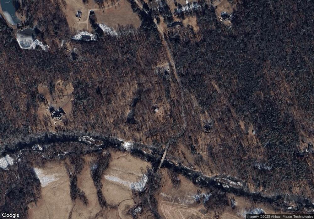
Map
Nearby Homes
- 11494 Riveredge Rd
- 14150 Bear Slash Trail
- 14166 Independence Rd
- 000 Yankeetown Rd
- 11115 Stillcroft Ln
- 11121 Stillcroft Ln
- 14106 Falcon Crest Ct
- TBD Horseshoe Bridge Rd
- 14481 Augusta Ln
- 14383 Country Club Dr
- 14506 Riverside Dr
- 14493 Washington Hwy
- 12601 W Patrick Henry Rd
- 11182 Tinsley Dr
- 11224 Hill Ridge Ct
- 11228 Hill Ridge Ct
- 11223 Hill Ridge Ct
- 229 Lauradell Rd
- 109 Axton Ln
- 226 Lauradell Rd
- 14633B Blunts Bridge Rd
- Lot 3 Blunts Bridge Rd
- Lot 2 Blunts Bridge Rd
- Lot 1 Blunts Bridge Rd
- TBD 00 Blunts Bridge Rd
- 14637 Blunts Bridge Rd
- 14626 Blunts Bridge Rd
- 14643 Blunts Bridge Rd
- 14635 Blunts Bridge Rd
- 14454 New Found Rd
- 14602 Blunts Bridge Rd
- 14672 Blunts Bridge Rd
- 14685 Blunts Bridge Rd
- 14490 New Found Rd
- 14688 Blunts Bridge Rd
- 14483 New Found Rd
- 14700 Blunts Bridge Rd
- 14638 Blunts Bridge Rd
- 11471 Riveredge Rd
- 14728 Blunts Bridge Rd