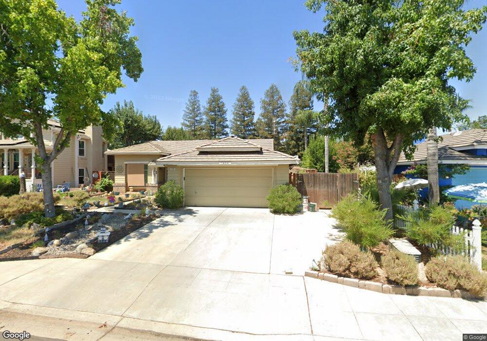
1464 Hanson Ave Clovis, CA 93611
Estimated Value: $418,658 - $455,000
4
Beds
2
Baths
1,494
Sq Ft
$293/Sq Ft
Est. Value
About This Home
This home is located at 1464 Hanson Ave, Clovis, CA 93611 and is currently estimated at $437,219, approximately $292 per square foot. 1464 Hanson Ave is a home located in Fresno County with nearby schools including Red Bank Elementary School, Clark Intermediate School, and Clovis High School.
Ownership History
Date
Name
Owned For
Owner Type
Purchase Details
Closed on
Feb 9, 1994
Sold by
Kaufman & Broad Of Fresno Inc
Bought by
Poole Donald Gene and Poole Deborah Lorraine
Current Estimated Value
Home Financials for this Owner
Home Financials are based on the most recent Mortgage that was taken out on this home.
Original Mortgage
$118,244
Interest Rate
6.98%
Mortgage Type
FHA
Create a Home Valuation Report for This Property
The Home Valuation Report is an in-depth analysis detailing your home's value as well as a comparison with similar homes in the area
Home Values in the Area
Average Home Value in this Area
Purchase History
| Date | Buyer | Sale Price | Title Company |
|---|---|---|---|
| Poole Donald Gene | $119,000 | First American Title Ins Co |
Source: Public Records
Mortgage History
| Date | Status | Borrower | Loan Amount |
|---|---|---|---|
| Closed | Poole Donald Gene | $118,244 |
Source: Public Records
Tax History
| Year | Tax Paid | Tax Assessment Tax Assessment Total Assessment is a certain percentage of the fair market value that is determined by local assessors to be the total taxable value of land and additions on the property. | Land | Improvement |
|---|---|---|---|---|
| 2025 | $2,460 | $200,526 | $76,467 | $124,059 |
| 2023 | $2,355 | $192,742 | $73,499 | $119,243 |
| 2022 | $2,325 | $188,963 | $72,058 | $116,905 |
| 2021 | $2,262 | $185,259 | $70,646 | $114,613 |
| 2020 | $2,253 | $183,360 | $69,922 | $113,438 |
| 2019 | $2,211 | $179,765 | $68,551 | $111,214 |
| 2018 | $2,165 | $176,241 | $67,207 | $109,034 |
| 2017 | $2,116 | $172,787 | $65,890 | $106,897 |
| 2016 | $2,048 | $169,400 | $64,599 | $104,801 |
| 2015 | $2,018 | $166,856 | $63,629 | $103,227 |
| 2014 | $1,981 | $163,588 | $62,383 | $101,205 |
Source: Public Records
Map
Nearby Homes
- 2668 Scott Ave
- 2549 Purvis Ave
- 2518 Keats Ave
- 2782 Poe Ave
- 2020 Hanson Ave
- 2681 Wrenwood Ave
- 2871 Wrenwood Ave
- 793 Applegate Ave
- 2222 Carson Ave
- 2669 Alamos Ave
- 2963 Finchwood Ave
- 3045 Keats Ave
- 865 McKelvy Ave
- 2337 Wrenwood Ave
- 937 Filbert Ave
- 2631 Rall Ave
- 2691 Morris Ave
- 637 Coventry Ave
- 3154 Mitchell Ave
- 2143 Lombard Ln
- 1484 Hanson Ave
- 1454 Hanson Ave
- 1514 Hanson Ave
- 2634 Dennis Ave
- 1434 Hanson Ave
- 2635 Beverly Ave
- 1534 Hanson Ave
- 2611 Dennis Ave
- 2654 Dennis Ave
- 2631 Dennis Ave
- 2655 Beverly Ave
- 1543 Carolina Ave
- 1554 Hanson Ave
- 1533 Hanson Ave
- 2599 Dennis Ave
- 2651 Dennis Ave
- 1565 Carolina Ave
- 2664 Dennis Ave
- 2665 Beverly Ave
- 1553 Hanson Ave
Your Personal Tour Guide
Ask me questions while you tour the home.