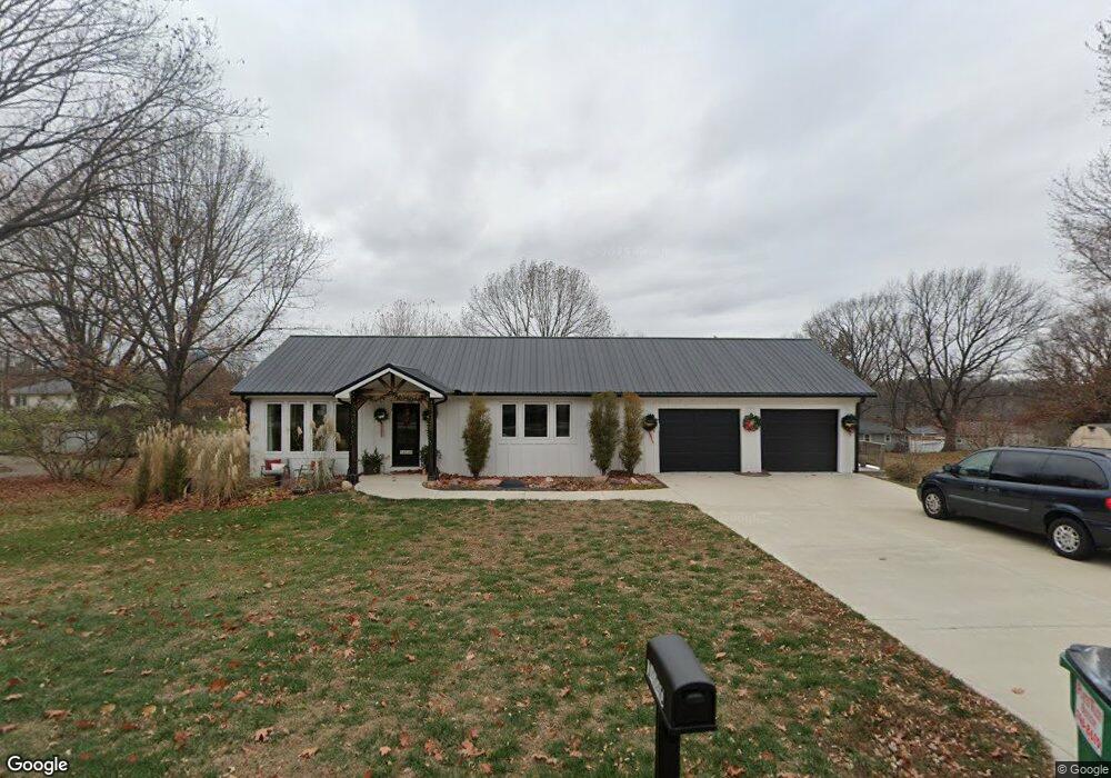
14640 Red Rock Dr Platte City, MO 64079
Estimated Value: $271,000 - $358,000
1
Bed
2
Baths
1,092
Sq Ft
$283/Sq Ft
Est. Value
About This Home
This home is located at 14640 Red Rock Dr, Platte City, MO 64079 and is currently estimated at $308,583, approximately $282 per square foot. 14640 Red Rock Dr is a home with nearby schools including Platte County High School.
Ownership History
Date
Name
Owned For
Owner Type
Purchase Details
Closed on
Oct 1, 2018
Sold by
Martin Joseph M and Martin Georgia Mae
Bought by
Gillaspie Steve Dean
Current Estimated Value
Home Financials for this Owner
Home Financials are based on the most recent Mortgage that was taken out on this home.
Original Mortgage
$23,500
Outstanding Balance
$20,409
Interest Rate
4.5%
Mortgage Type
Stand Alone First
Estimated Equity
$288,174
Purchase Details
Closed on
Oct 28, 2016
Sold by
Whalen Rodney L and Whalen Diana C
Bought by
Martin Joseph M
Create a Home Valuation Report for This Property
The Home Valuation Report is an in-depth analysis detailing your home's value as well as a comparison with similar homes in the area
Home Values in the Area
Average Home Value in this Area
Purchase History
| Date | Buyer | Sale Price | Title Company |
|---|---|---|---|
| Gillaspie Steve Dean | -- | None Available | |
| Martin Joseph M | -- | Stewart Title Company |
Source: Public Records
Mortgage History
| Date | Status | Borrower | Loan Amount |
|---|---|---|---|
| Open | Gillaspie Steve Dean | $23,500 |
Source: Public Records
Tax History Compared to Growth
Tax History
| Year | Tax Paid | Tax Assessment Tax Assessment Total Assessment is a certain percentage of the fair market value that is determined by local assessors to be the total taxable value of land and additions on the property. | Land | Improvement |
|---|---|---|---|---|
| 2024 | $2,853 | $41,190 | $7,100 | $34,090 |
| 2023 | $2,740 | $41,190 | $7,100 | $34,090 |
| 2022 | $2,415 | $35,974 | $7,100 | $28,874 |
| 2021 | $2,421 | $35,974 | $7,100 | $28,874 |
| 2020 | $233 | $31,865 | $6,078 | $25,787 |
| 2019 | $233 | $3,420 | $3,420 | $0 |
| 2018 | $235 | $3,420 | $3,420 | $0 |
| 2017 | $234 | $3,420 | $3,420 | $0 |
| 2016 | $232 | $3,420 | $3,420 | $0 |
| 2015 | $232 | $3,420 | $3,420 | $0 |
| 2013 | $212 | $3,420 | $0 | $0 |
Source: Public Records
Map
Nearby Homes
- 14660 Cobblestone Dr
- 12815 NW 145th St
- 24 Timber Creek Dr
- 2705 Mercer Ln
- 2609 Mercer Ln
- 2701 Mercer Ln
- 2709 Mercer Ln
- 2305 Windmill Dr
- 105 Johnson Cir
- 4817 NW 140th St
- Harmony Plan at Windmill Creek
- Hillman Plan at Windmill Creek
- 4812 NW 140th St
- Newcastle Plan at Windmill Creek
- Holcombe Plan at Windmill Creek
- Bellamy Plan at Windmill Creek
- Reagan Plan at Windmill Creek
- Chatham Plan at Windmill Creek
- 2500 Windmill Dr
- 2503 Windmill Cir
- 14620 Red Rock Dr
- 14660 Red Rock Dr
- 14635 Leipard Ln
- 14615 Leipard Ln
- 14655 Leipard Ln
- 14600 Red Rock Dr
- 14655 Red Rock Dr
- 14625 Red Rock Dr
- 14680 Red Rock Dr
- 14605 Leipard Ln
- 14675 Leipard Ln
- 14605 Red Rock Dr
- 14675 Red Rock Dr
- lot 17 Stonegate N A
- 14580 Red Rock Dr
- 14640 Cobblestone Dr
- 14630 Cobblestone Dr
- 14610 Leipard Ln
- 14585 Leipard Ln
- 14610 Cobblestone Dr