146450 Beal Rd La Pine, OR 97739
Estimated Value: $753,000 - $838,945
4
Beds
4
Baths
3,036
Sq Ft
$262/Sq Ft
Est. Value
About This Home
This home is located at 146450 Beal Rd, La Pine, OR 97739 and is currently estimated at $795,973, approximately $262 per square foot. 146450 Beal Rd is a home located in Klamath County with nearby schools including Gilchrist Elementary School and Gilchrist Junior/Senior High School.
Ownership History
Date
Name
Owned For
Owner Type
Purchase Details
Closed on
May 16, 2024
Sold by
Donald Joe K and Donald Patricia A
Bought by
Donald Living Trust and Donald
Current Estimated Value
Purchase Details
Closed on
Jun 6, 2011
Sold by
Fannie Mae
Bought by
Donald Joe K and Donald Patricia A
Home Financials for this Owner
Home Financials are based on the most recent Mortgage that was taken out on this home.
Original Mortgage
$221,850
Interest Rate
4.56%
Mortgage Type
New Conventional
Purchase Details
Closed on
Nov 10, 2010
Sold by
Jackman Jeffrey L
Bought by
Federal National Mortgage Association
Create a Home Valuation Report for This Property
The Home Valuation Report is an in-depth analysis detailing your home's value as well as a comparison with similar homes in the area
Purchase History
| Date | Buyer | Sale Price | Title Company |
|---|---|---|---|
| Donald Living Trust | -- | None Listed On Document | |
| Donald Joe K | $242,000 | Multiple | |
| Federal National Mortgage Association | $389,261 | None Available |
Source: Public Records
Mortgage History
| Date | Status | Borrower | Loan Amount |
|---|---|---|---|
| Previous Owner | Donald Joe K | $221,850 |
Source: Public Records
Tax History
| Year | Tax Paid | Tax Assessment Tax Assessment Total Assessment is a certain percentage of the fair market value that is determined by local assessors to be the total taxable value of land and additions on the property. | Land | Improvement |
|---|---|---|---|---|
| 2025 | $5,049 | $504,037 | -- | -- |
| 2024 | $4,912 | $489,360 | -- | -- |
| 2023 | $4,718 | $489,457 | $0 | $0 |
| 2022 | $4,590 | $461,376 | $0 | $0 |
| 2021 | $4,434 | $447,944 | $0 | $0 |
| 2020 | $4,302 | $434,897 | $0 | $0 |
| 2019 | $4,118 | $413,548 | $0 | $0 |
| 2018 | $5,487 | $417,330 | $0 | $0 |
| 2017 | $5,365 | $537,790 | $0 | $0 |
| 2016 | $5,224 | $522,130 | $0 | $0 |
| 2015 | $5,084 | $506,930 | $0 | $0 |
| 2014 | $4,854 | $492,170 | $0 | $0 |
| 2013 | -- | $477,840 | $0 | $0 |
Source: Public Records
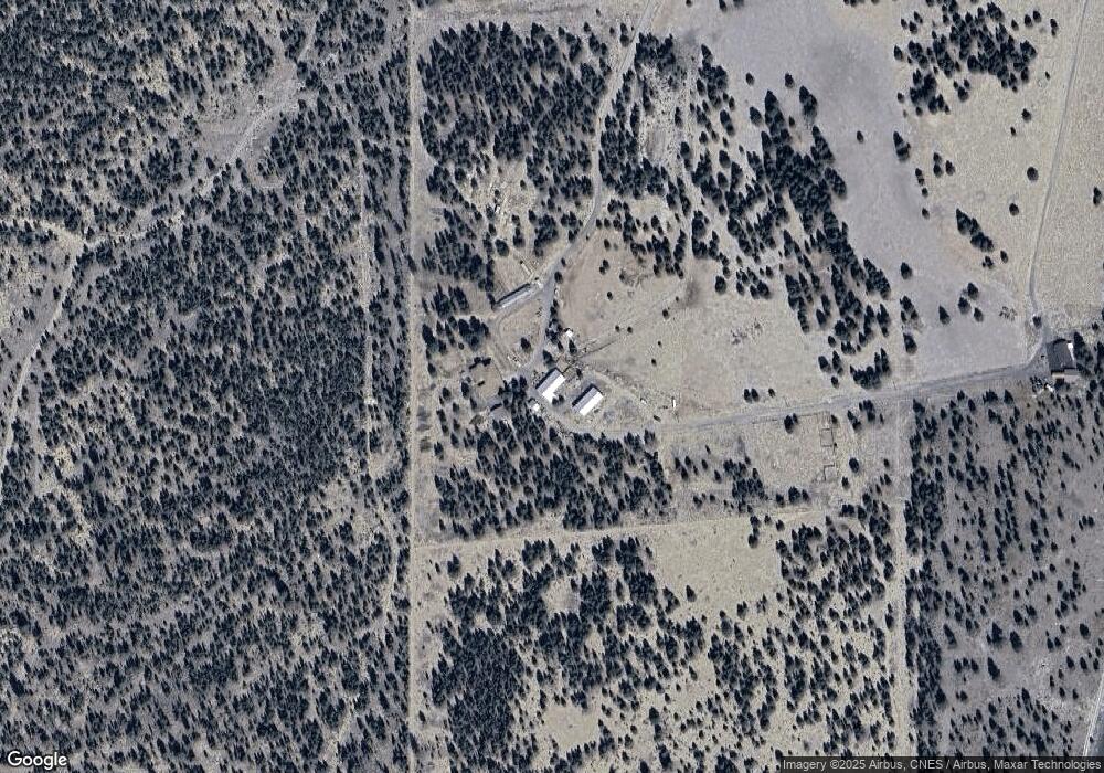
Map
Nearby Homes
- 145309 Gait Ct
- 145046 Ringo Ct
- 144911 Corral Ct
- 156468 Beal Rd
- 149245 Kurtz Rd
- 149471 Midstate Rd
- 11415 Burlwood Rd
- 145344 Lanewood Dr
- 0 Lanewood Dr Unit Lot 63
- 11421 Burlwood Dr
- 0 Birchwood Unit TL 13000
- 0 Birchwood Unit TL 00600
- 11619 Sun Forest Dr
- 11511 Larchwood Dr
- 11940 Cedarwood Dr
- 0 Greenwood Rd Unit 39
- 0 Sun Forest Dr Unit 220213356
- 0 Sun Forest Dr Unit Lot 3
- 0 Sun Forest Dr Unit 1200
- 0 Sun Forest Dr Unit Lot 1
- 146460 Beal Rd
- 145220 Beal Rd
- 146315 Beal Rd
- 500 Beal Rd
- 8412 Split Rail Rd
- 8738 Split Rail Rd
- 8853 Split Rail Rd
- 147800 Beal Rd
- 2600 Split Rail Rd
- 9238 Split Rail Rd
- 16 Split Rail Ranchos Rd
- 9011 Split Rail Rd
- 9123 Split Rail Rd
- 9241 Split Rail Rd
- 9117 Split Rail Rd
- 8971 Split Rail Rd
- 8969 Split Rail Rd
Your Personal Tour Guide
Ask me questions while you tour the home.