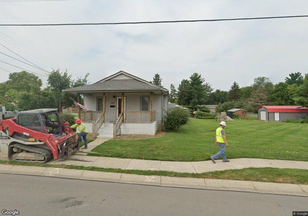
1465 S Maple Ave Fairborn, OH 45324
Estimated Value: $111,000 - $174,000
3
Beds
2
Baths
1,034
Sq Ft
$143/Sq Ft
Est. Value
About This Home
This home is located at 1465 S Maple Ave, Fairborn, OH 45324 and is currently estimated at $147,442, approximately $142 per square foot. 1465 S Maple Ave is a home located in Greene County with nearby schools including Fairborn Primary School, Fairborn Intermediate School, and Fairborn Middle School.
Ownership History
Date
Name
Owned For
Owner Type
Purchase Details
Closed on
Jun 9, 2022
Sold by
Kay Benasutti Angela and Kay Jerome
Bought by
City Of Fairborn
Current Estimated Value
Home Financials for this Owner
Home Financials are based on the most recent Mortgage that was taken out on this home.
Original Mortgage
$67,500
Interest Rate
5.3%
Mortgage Type
New Conventional
Purchase Details
Closed on
May 17, 2022
Sold by
Carl Benasutti Ramon
Bought by
Benasutti Angela Kay and Benasutti Jerome Lee
Home Financials for this Owner
Home Financials are based on the most recent Mortgage that was taken out on this home.
Original Mortgage
$67,500
Interest Rate
5.3%
Mortgage Type
New Conventional
Purchase Details
Closed on
Jun 21, 1989
Bought by
Benasutti Ramon C
Create a Home Valuation Report for This Property
The Home Valuation Report is an in-depth analysis detailing your home's value as well as a comparison with similar homes in the area
Home Values in the Area
Average Home Value in this Area
Purchase History
| Date | Buyer | Sale Price | Title Company |
|---|---|---|---|
| City Of Fairborn | $18,000 | None Listed On Document | |
| Benasutti Angela Kay | $90,000 | Hassman Robert C | |
| Benasutti Ramon C | $46,000 | -- |
Source: Public Records
Mortgage History
| Date | Status | Borrower | Loan Amount |
|---|---|---|---|
| Previous Owner | Benasutti Angela Kay | $67,500 |
Source: Public Records
Tax History Compared to Growth
Tax History
| Year | Tax Paid | Tax Assessment Tax Assessment Total Assessment is a certain percentage of the fair market value that is determined by local assessors to be the total taxable value of land and additions on the property. | Land | Improvement |
|---|---|---|---|---|
| 2024 | $1,559 | $32,550 | $12,750 | $19,800 |
| 2023 | $1,559 | $32,550 | $12,750 | $19,800 |
| 2022 | $1,971 | $35,450 | $10,430 | $25,020 |
| 2021 | $2,000 | $33,670 | $10,430 | $23,240 |
| 2020 | $1,909 | $33,670 | $10,430 | $23,240 |
| 2019 | $1,892 | $33,480 | $12,370 | $21,110 |
| 2018 | $1,912 | $33,480 | $12,370 | $21,110 |
| 2017 | $1,907 | $33,480 | $12,370 | $21,110 |
| 2016 | $1,907 | $33,390 | $12,370 | $21,020 |
| 2015 | $1,816 | $33,390 | $12,370 | $21,020 |
| 2014 | $1,755 | $33,390 | $12,370 | $21,020 |
Source: Public Records
Map
Nearby Homes
- 1463 Maplegrove Dr
- 1558 Glendale Dr
- 218 Chatham Dr
- 1365 S Maple Ave
- 160 Locust Dr
- 141 Locust Dr
- 137 W Dayton Yellow Springs Rd
- 435 Cherrywood Dr
- 104 E Garland Ave
- 301 Faculty Dr
- 1421 Ironwood Dr
- 201 State St
- 273 Shade Dr
- 322 Shade Dr
- 0 W Garland Ave
- 1344 Ironwood Dr
- 1230 Hemlock Dr
- Lot 4 W Dayton-Yellow Springs Rd
- Lot 3 W Dayton-Yellow Springs Rd
- 178 Dellwood Dr
- 145 E Routzong Dr
- 1457 S Maple Ave
- 1447 S Maple Ave
- 1456 S Maple Ave
- 1462 S Maple Ave
- 150 E Routzong Dr
- 1496 S Maple Ave
- 138 E Routzong Dr
- 1448 S Maple Ave
- 133 E Routzong Dr
- 1479 Maplegrove Dr
- 1475 Maplegrove Dr
- 1471 Maplegrove Dr
- 1453 Glendale Dr
- 1444 S Maple Ave
- 1459 Glendale Dr
- 1516 S Maple Ave
- 1467 Maplegrove Dr
- 1525 S Maple Ave
- 1447 Glendale Dr