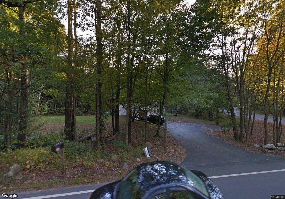
147 High Range Rd Londonderry, NH 03053
Estimated Value: $523,000 - $535,381
3
Beds
4
Baths
1,168
Sq Ft
$450/Sq Ft
Est. Value
About This Home
This home is located at 147 High Range Rd, Londonderry, NH 03053 and is currently estimated at $526,095, approximately $450 per square foot. 147 High Range Rd is a home with nearby schools including North Londonderry Elementary School, Londonderry Middle School, and Londonderry Senior High School.
Ownership History
Date
Name
Owned For
Owner Type
Purchase Details
Closed on
Sep 30, 1996
Sold by
Lee John R and Lee Linda L
Bought by
Haynes David S and Haynes Robyn
Current Estimated Value
Home Financials for this Owner
Home Financials are based on the most recent Mortgage that was taken out on this home.
Original Mortgage
$113,190
Interest Rate
7.83%
Create a Home Valuation Report for This Property
The Home Valuation Report is an in-depth analysis detailing your home's value as well as a comparison with similar homes in the area
Home Values in the Area
Average Home Value in this Area
Purchase History
| Date | Buyer | Sale Price | Title Company |
|---|---|---|---|
| Haynes David S | $113,700 | -- |
Source: Public Records
Mortgage History
| Date | Status | Borrower | Loan Amount |
|---|---|---|---|
| Open | Haynes David S | $166,500 | |
| Closed | Haynes David S | $186,400 | |
| Closed | Haynes David S | $20,000 | |
| Closed | Haynes David S | $113,190 |
Source: Public Records
Tax History Compared to Growth
Tax History
| Year | Tax Paid | Tax Assessment Tax Assessment Total Assessment is a certain percentage of the fair market value that is determined by local assessors to be the total taxable value of land and additions on the property. | Land | Improvement |
|---|---|---|---|---|
| 2024 | $7,331 | $454,200 | $179,900 | $274,300 |
| 2023 | $6,928 | $442,700 | $179,900 | $262,800 |
| 2022 | $6,729 | $364,100 | $134,900 | $229,200 |
| 2021 | $6,692 | $364,100 | $134,900 | $229,200 |
| 2020 | $6,703 | $333,300 | $113,300 | $220,000 |
| 2019 | $6,463 | $333,300 | $113,300 | $220,000 |
| 2018 | $5,657 | $259,500 | $93,700 | $165,800 |
| 2017 | $5,608 | $259,500 | $93,700 | $165,800 |
| 2016 | $5,579 | $259,500 | $93,700 | $165,800 |
| 2015 | $5,455 | $259,500 | $93,700 | $165,800 |
| 2014 | $5,473 | $259,500 | $93,700 | $165,800 |
| 2011 | -- | $262,000 | $93,700 | $168,300 |
Source: Public Records
Map
Nearby Homes
- 3 Chandler Dr
- 90 High Range Rd
- 88 High Range Rd
- 11 Elise Ave Unit Lot 91
- 5 Hickory Hill Dr
- 6 Wiley Hill Rd
- 12 Wiley Hill Rd
- 224 High Range Rd
- 35 Red Deer Rd
- 10 Jason Dr
- 214 Winding Pond Rd
- 169 Fieldstone Dr
- 193 Fieldstone Dr
- 193 Fieldstone Dr Unit 193
- 31 Midridge Cir
- 118 Fieldstone Dr Unit 118
- 27 Midridge Cir
- 5 Delphi Way
- 3 Delphi Way
- 7 Delphi Way
- 151 High Range Rd
- 153 High Range Rd
- 140 High Range Rd
- 142 High Range Rd
- 138 High Range Rd
- 138 High Range Rd
- 138A High Range Rd
- 3 Royal Ln
- 4 Royal Ln
- 144 High Range Rd
- 157 High Range Rd
- 5 Royal Ln
- 148 High Range Rd
- 159 High Range Rd
- 6 Royal Ln
- 133 High Range Rd
- 150 High Range Rd
- 7 Royal Ln
- 8 Royal Ln
- 152 High Range Rd