147 Seadrift Rd Stinson Beach, CA 94970
Estimated Value: $3,811,000 - $5,460,000
2
Beds
3
Baths
2,200
Sq Ft
$2,200/Sq Ft
Est. Value
About This Home
This home is located at 147 Seadrift Rd, Stinson Beach, CA 94970 and is currently estimated at $4,840,828, approximately $2,200 per square foot. 147 Seadrift Rd is a home with nearby schools including Bolinas-Stinson Elementary School and Tamalpais High School.
Ownership History
Date
Name
Owned For
Owner Type
Purchase Details
Closed on
Aug 1, 2022
Sold by
Neil J Macphail 2002 Trust
Bought by
Jennifer S Macphail-Weller 2016 Separate Prop
Current Estimated Value
Purchase Details
Closed on
Jan 17, 2002
Sold by
Macphail Neil J
Bought by
Macphail Neil J
Purchase Details
Closed on
Oct 12, 1998
Sold by
Josephine Badalamenti
Bought by
Macphail Neil and Macphail Bruce
Create a Home Valuation Report for This Property
The Home Valuation Report is an in-depth analysis detailing your home's value as well as a comparison with similar homes in the area
Home Values in the Area
Average Home Value in this Area
Purchase History
| Date | Buyer | Sale Price | Title Company |
|---|---|---|---|
| Jennifer S Macphail-Weller 2016 Separate Prop | -- | Mcneil Silveira Rice & Wiley | |
| Macphail Neil J | -- | -- | |
| Macphail Neil | $842,000 | First American Title Co |
Source: Public Records
Tax History Compared to Growth
Tax History
| Year | Tax Paid | Tax Assessment Tax Assessment Total Assessment is a certain percentage of the fair market value that is determined by local assessors to be the total taxable value of land and additions on the property. | Land | Improvement |
|---|---|---|---|---|
| 2025 | $37,787 | $3,517,235 | $2,575,004 | $942,231 |
| 2024 | $37,787 | $3,448,294 | $2,524,532 | $923,762 |
| 2023 | $37,208 | $3,380,681 | $2,475,031 | $905,650 |
| 2022 | $36,620 | $1,243,810 | $480,093 | $763,717 |
| 2021 | $7,156 | $1,219,426 | $470,681 | $748,745 |
| 2020 | $14,175 | $1,206,922 | $465,855 | $741,067 |
| 2019 | $13,733 | $1,183,262 | $456,722 | $726,540 |
| 2018 | $13,345 | $1,160,064 | $447,768 | $712,296 |
| 2017 | $13,151 | $1,137,322 | $438,990 | $698,332 |
| 2016 | $12,569 | $1,115,026 | $430,384 | $684,642 |
| 2015 | $12,593 | $1,098,279 | $423,920 | $674,359 |
| 2014 | $12,130 | $1,076,765 | $415,616 | $661,149 |
Source: Public Records
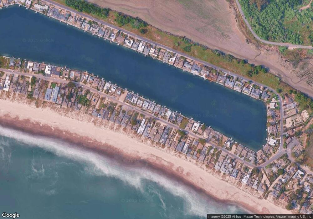
Map
Nearby Homes
- 156 Seadrift Rd
- 122 Seadrift Rd
- 106 Seadrift Rd
- 4 Calle Del Embarcadero
- 15 Calle Del Embarcadero
- 297 Seadrift Rd
- 125 Laurel Ave
- 65 Buena Vista Ave
- 170 Belvedere Ave
- 40 Laurel Ave
- 3337 Shoreline Hwy
- 7500 Panoramic Hwy
- 3275 Shoreline Hwy
- 71 Crescente Ave
- 77 Crescente Ave
- 23 Brighton Ave
- 41 Ocean Ave
- 33 Ocean Ave
- 125 Aspen Rd
- 130 Juniper Rd
- 145 Seadrift Rd
- 149 Seadrift Rd
- 151 Seadrift Rd
- 143 Seadrift Rd
- 153 Seadrift Rd
- 141 Seadrift Rd
- 148 Seadrift Rd
- 155 Seadrift Rd
- 139 Seadrift Rd
- 146 Seadrift Rd
- 152 Seadrift Rd
- 150 Seadrift Rd
- 142 Seadrift Rd
- 144 Seadrift Rd
- 157 Seadrift Rd
- 154 Seadrift Rd
- 135 Seadrift Rd
- 138 Seadrift Rd
- 158 Seadrift Rd
- 140 Seadrift Rd