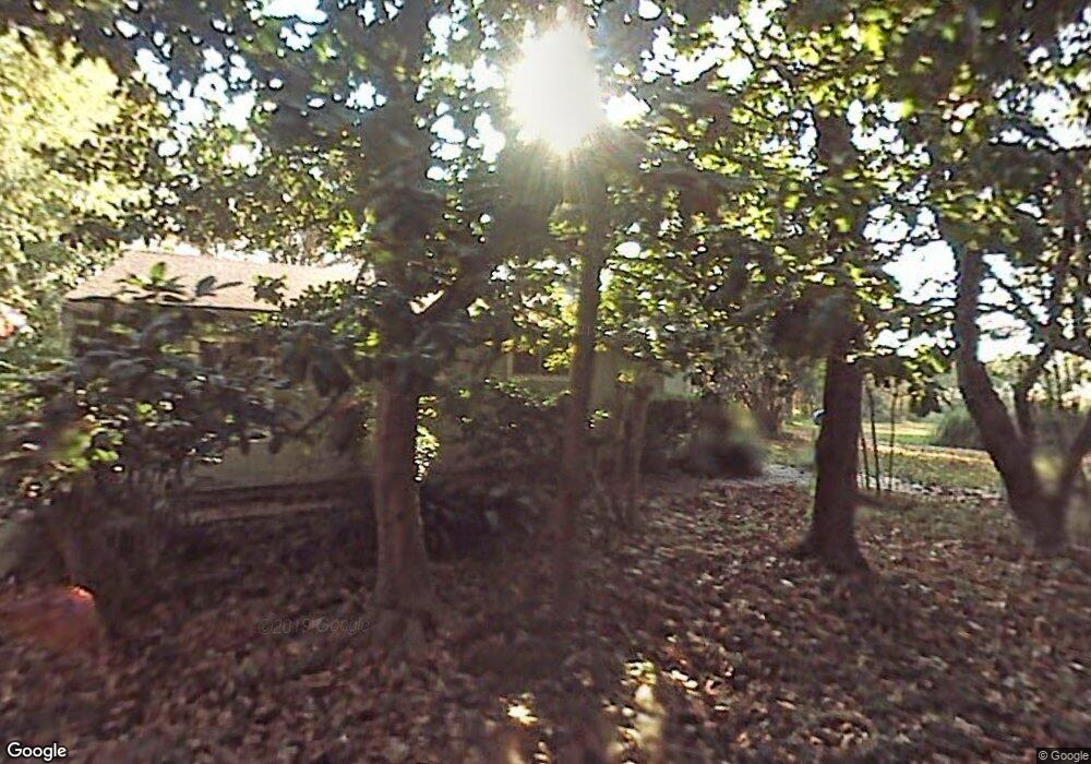
1470 Highway 51 Madison, MS 39110
Estimated Value: $490,000 - $711,000
5
Beds
5
Baths
4,171
Sq Ft
$141/Sq Ft
Est. Value
About This Home
This home is located at 1470 Highway 51, Madison, MS 39110 and is currently estimated at $588,243, approximately $141 per square foot. 1470 Highway 51 is a home located in Madison County with nearby schools including Madison Crossing Elementary School, Germantown Middle School, and Germantown High School.
Ownership History
Date
Name
Owned For
Owner Type
Purchase Details
Closed on
Mar 29, 2023
Sold by
Matt B Jenseon Real Estate Llc
Bought by
Lemarka Llc
Current Estimated Value
Purchase Details
Closed on
Jun 1, 2016
Sold by
William K Martinson
Bought by
Mckie Maur and Mckie Karen
Home Financials for this Owner
Home Financials are based on the most recent Mortgage that was taken out on this home.
Original Mortgage
$33,600
Interest Rate
3.64%
Create a Home Valuation Report for This Property
The Home Valuation Report is an in-depth analysis detailing your home's value as well as a comparison with similar homes in the area
Home Values in the Area
Average Home Value in this Area
Purchase History
| Date | Buyer | Sale Price | Title Company |
|---|---|---|---|
| Lemarka Llc | -- | -- | |
| Mckie Maur | -- | -- |
Source: Public Records
Mortgage History
| Date | Status | Borrower | Loan Amount |
|---|---|---|---|
| Previous Owner | Mckie Maur | $33,600 | |
| Previous Owner | Mckie Maur | -- |
Source: Public Records
Tax History Compared to Growth
Tax History
| Year | Tax Paid | Tax Assessment Tax Assessment Total Assessment is a certain percentage of the fair market value that is determined by local assessors to be the total taxable value of land and additions on the property. | Land | Improvement |
|---|---|---|---|---|
| 2024 | $2,523 | $27,228 | $0 | $0 |
| 2023 | $2,523 | $27,228 | $0 | $0 |
| 2022 | $2,523 | $27,228 | $0 | $0 |
| 2021 | $2,423 | $26,147 | $0 | $0 |
| 2020 | $1,316 | $17,431 | $0 | $0 |
| 2019 | $1,316 | $17,431 | $0 | $0 |
| 2018 | $1,316 | $17,431 | $0 | $0 |
| 2017 | $1,289 | $17,141 | $0 | $0 |
| 2016 | -- | $17,141 | $0 | $0 |
| 2015 | $1,289 | $17,141 | $0 | $0 |
| 2014 | $1,230 | $16,512 | $0 | $0 |
Source: Public Records
Map
Nearby Homes
- 1753 U S Highway 51
- 209 Sunset Cir
- 157 Quail Hollow
- 00 N Highway 51
- 519 Morning Glory Cove
- 268 Sundial Rd
- 557 Spring Hill Dr
- 0 Lansbury Way Unit 4110229
- 589 N Old Canton Rd
- 0 Sundial Rd Unit 4104072
- Lot 23 Wildwood Dr
- 265 Woodland Brook Dr
- 000 N Highway 51 Hwy
- 423 W Oak Cir
- 213 Lakecrest Dr
- 201 Lakecrest Dr
- 202 Saint Pierre Cove
- 122 Eastwood Dr
- 1005 Laramie Ct
- 865 Wellington Way
- 1450 Highway 51
- 1465 Highway 51
- 1472 Highway 51
- 1505 Highway 51
- 1528 Highway 51 None
- 1473 Highway 51
- 1517 Highway 51
- 1495 Highway 51
- 130 Saint Davids Way
- 120 Saint Davids Way
- 140 Saint Davids Way
- 110 Saint Davids Way
- 1529 Highway 51
- 10 St Davids Way Unit 10
- 196 Sundown Cove
- 209 Green Oak Ln
- 131 Saint Davids Way
- 141 Saint Davids Way
- 150 Saint Davids Way
- 175 Sundown Cove
