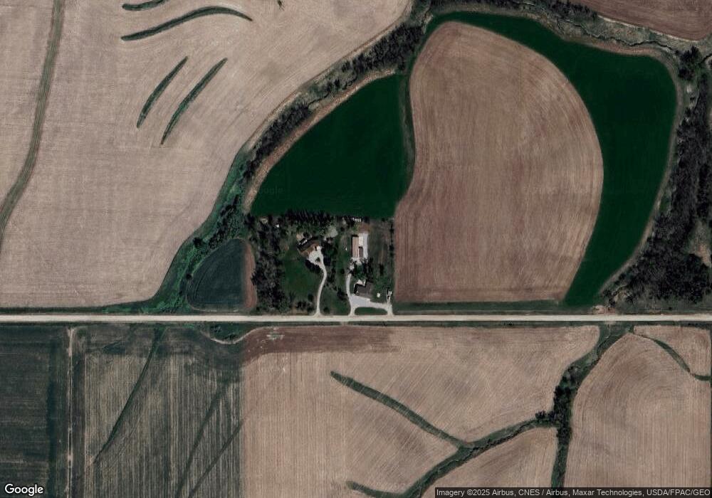
1470 N 59th Ave E Newton, IA 50208
Estimated Value: $302,000 - $422,000
3
Beds
3
Baths
2,736
Sq Ft
$132/Sq Ft
Est. Value
About This Home
This home is located at 1470 N 59th Ave E, Newton, IA 50208 and is currently estimated at $361,913, approximately $132 per square foot. 1470 N 59th Ave E is a home located in Jasper County with nearby schools including Berg Middle School and Newton Senior High School.
Ownership History
Date
Name
Owned For
Owner Type
Purchase Details
Closed on
Jun 10, 2022
Sold by
Grunsted Cody J and Grunsted Lauren R
Bought by
Hennessee Jordan and Hennessee Bradley
Current Estimated Value
Purchase Details
Closed on
May 11, 2022
Sold by
Sue Schlangen Carolyn
Bought by
5G Construction Llc
Purchase Details
Closed on
Aug 12, 2019
Sold by
Thompson Larry D and Thompson Shannon L
Bought by
Grunsted Cody J and Grunsted Lauren R
Purchase Details
Closed on
Aug 26, 2005
Sold by
Woody Yance P and Woody Wendy R
Bought by
Thompson Larry D and Thompson Shannon L
Home Financials for this Owner
Home Financials are based on the most recent Mortgage that was taken out on this home.
Original Mortgage
$181,500
Interest Rate
5.8%
Mortgage Type
New Conventional
Create a Home Valuation Report for This Property
The Home Valuation Report is an in-depth analysis detailing your home's value as well as a comparison with similar homes in the area
Home Values in the Area
Average Home Value in this Area
Purchase History
| Date | Buyer | Sale Price | Title Company |
|---|---|---|---|
| Hennessee Jordan | $360,000 | None Listed On Document | |
| 5G Construction Llc | $60,000 | None Listed On Document | |
| Grunsted Cody J | $173,000 | -- | |
| Thompson Larry D | $181,500 | United Land Title Co |
Source: Public Records
Mortgage History
| Date | Status | Borrower | Loan Amount |
|---|---|---|---|
| Previous Owner | Thompson Larry D | $181,500 | |
| Closed | Hennessee Jordan | $0 |
Source: Public Records
Tax History Compared to Growth
Tax History
| Year | Tax Paid | Tax Assessment Tax Assessment Total Assessment is a certain percentage of the fair market value that is determined by local assessors to be the total taxable value of land and additions on the property. | Land | Improvement |
|---|---|---|---|---|
| 2025 | $3,880 | $382,690 | $70,900 | $311,790 |
| 2024 | $3,880 | $298,090 | $46,870 | $251,220 |
| 2023 | $3,760 | $298,090 | $46,870 | $251,220 |
| 2022 | $3,468 | $252,380 | $46,870 | $205,510 |
| 2021 | $3,184 | $234,350 | $46,870 | $187,480 |
| 2020 | $3,184 | $204,210 | $31,550 | $172,660 |
| 2019 | $3,040 | $182,150 | $0 | $0 |
| 2018 | $3,040 | $182,150 | $0 | $0 |
| 2017 | $2,972 | $181,890 | $0 | $0 |
| 2016 | $3,040 | $181,890 | $0 | $0 |
| 2015 | $2,966 | $180,090 | $0 | $0 |
| 2014 | $2,880 | $180,090 | $0 | $0 |
Source: Public Records
Map
Nearby Homes
- 6285 E 28th St N
- 3735 W 3rd St N
- 1525 1st St N
- 1309 E 12th St N
- 1420 1st St N
- 1401 1st St N
- 937 E 15th St N
- 2389 N 10th Ave E
- 2347 N 10th Ave E
- 2345 N 10th Ave E
- 2367 N 10th Ave E
- 2391 N 10th Ave E
- 926 E 15th St N
- 5664 Island Ave
- 1111 N 10th Ave E
- 924 E 9th St N
- 2275 N 9th Avenue Place E
- 836 E 17th St N
- 720 N 9th Ave E
- 2305 N 9th Ave E