1474 Mayfield Rd Richfield, WI 53076
Estimated Value: $721,000 - $1,098,000
Studio
--
Bath
--
Sq Ft
163,786
Sq Ft Lot
About This Home
This home is located at 1474 Mayfield Rd, Richfield, WI 53076 and is currently estimated at $850,393. 1474 Mayfield Rd is a home located in Washington County with nearby schools including Friess Lake Elementary, Hartford High School, and St. Boniface Elementary School.
Ownership History
Date
Name
Owned For
Owner Type
Purchase Details
Closed on
Oct 20, 2006
Sold by
Weyer Randal R and Weyer Dawn L
Bought by
Walters James F and Walters Valencia F
Current Estimated Value
Home Financials for this Owner
Home Financials are based on the most recent Mortgage that was taken out on this home.
Original Mortgage
$300,000
Interest Rate
6.11%
Mortgage Type
New Conventional
Create a Home Valuation Report for This Property
The Home Valuation Report is an in-depth analysis detailing your home's value as well as a comparison with similar homes in the area
Home Values in the Area
Average Home Value in this Area
Purchase History
| Date | Buyer | Sale Price | Title Company |
|---|---|---|---|
| Walters James F | $515,000 | None Available |
Source: Public Records
Mortgage History
| Date | Status | Borrower | Loan Amount |
|---|---|---|---|
| Closed | Walters James F | $300,000 |
Source: Public Records
Tax History
| Year | Tax Paid | Tax Assessment Tax Assessment Total Assessment is a certain percentage of the fair market value that is determined by local assessors to be the total taxable value of land and additions on the property. | Land | Improvement |
|---|---|---|---|---|
| 2025 | $5,827 | $503,300 | $165,700 | $337,600 |
| 2024 | $5,321 | $503,300 | $165,700 | $337,600 |
| 2023 | $5,055 | $503,300 | $165,700 | $337,600 |
| 2022 | $5,069 | $503,300 | $165,700 | $337,600 |
| 2021 | $5,138 | $503,300 | $165,700 | $337,600 |
| 2020 | $5,395 | $451,700 | $132,500 | $319,200 |
| 2019 | $5,249 | $451,700 | $132,500 | $319,200 |
| 2018 | $5,558 | $451,700 | $132,500 | $319,200 |
| 2017 | $5,595 | $451,700 | $132,500 | $319,200 |
| 2016 | $4,622 | $354,100 | $132,500 | $221,600 |
| 2015 | $4,642 | $354,100 | $132,500 | $221,600 |
| 2014 | $4,642 | $354,100 | $132,500 | $221,600 |
| 2013 | $4,931 | $354,100 | $132,500 | $221,600 |
Source: Public Records
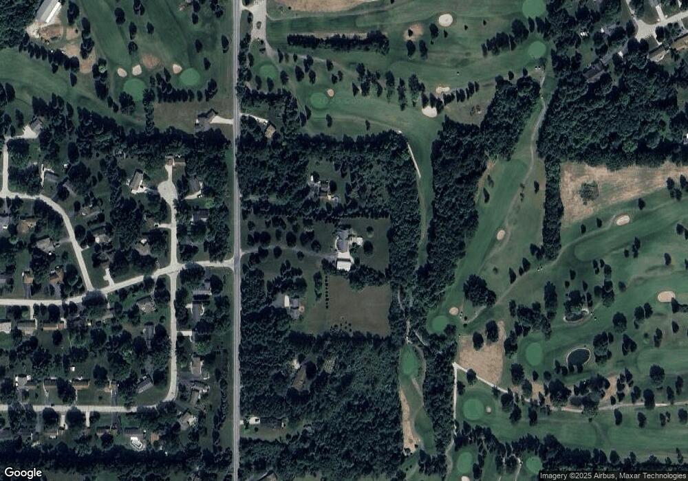
Map
Nearby Homes
- Lt1 N Town Line Rd
- 3559 N Shore Dr
- W211N11783 Hilltop Cir
- 3842 Timber Stone Way
- W211N11782 Hilltop Cir
- W211N11683 Hilltop Cir
- N116W21019 Brynwood Ln
- N115W21106 Brookside Cir
- N115W20994 Brookside Dr
- W211N11454 Woodfield Ln
- N114W21077 Briarwood Ln
- N114W20932 Briarwood Ln
- 4080 Spruce Dr
- 585 Colgate Rd
- Lt0 Lake Dr
- 980 High Ridge Trail
- 966 High Ridge Trail
- 1012 High Ridge Trail
- 525 Woodland Dr
- 2940 Woodland Ct
Your Personal Tour Guide
Ask me questions while you tour the home.