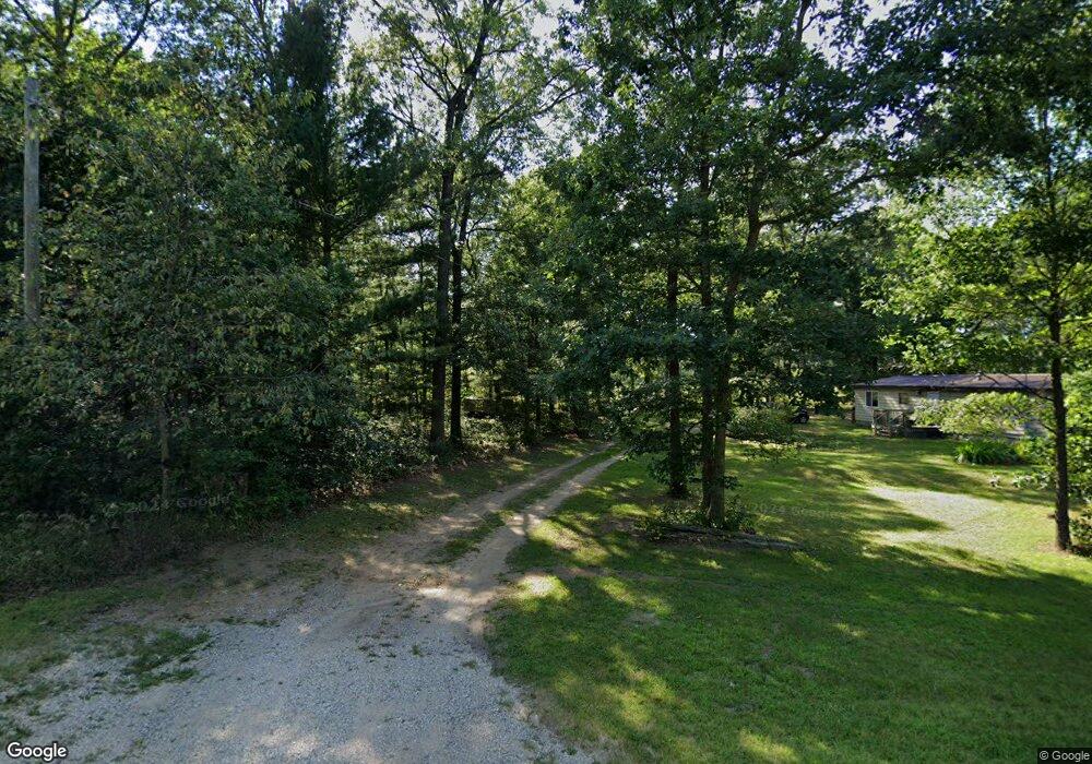
1475 S Walhalla Rd Township of Branch, MI 49402
Estimated Value: $120,723
2
Beds
2
Baths
1,248
Sq Ft
$97/Sq Ft
Est. Value
About This Home
This home is located at 1475 S Walhalla Rd, Township of Branch, MI 49402 and is currently priced at $120,723, approximately $96 per square foot. 1475 S Walhalla Rd is a home located in Mason County with nearby schools including Mason County Central Upper Elementary School, Scottville Elementary School, and Mason County Central Middle School.
Ownership History
Date
Name
Owned For
Owner Type
Purchase Details
Closed on
Mar 14, 2023
Sold by
Mcvicker Luke
Bought by
Codman Byron and Codman Dana
Current Estimated Value
Purchase Details
Closed on
Nov 10, 2016
Sold by
Bond Corporation
Bought by
Codman Byron and Codman Dana
Purchase Details
Closed on
Apr 21, 2010
Sold by
Northpoint Bank
Bought by
Bond Corporation
Purchase Details
Closed on
Jan 8, 2009
Sold by
Mcgraw Rodney D and Mcgraw Mary Jane
Bought by
Northpointe Bank
Purchase Details
Closed on
Jul 1, 2001
Create a Home Valuation Report for This Property
The Home Valuation Report is an in-depth analysis detailing your home's value as well as a comparison with similar homes in the area
Home Values in the Area
Average Home Value in this Area
Purchase History
Date | Buyer | Sale Price | Title Company |
---|---|---|---|
Codman Byron | -- | -- | |
Codman Byron | -- | None Available | |
Bond Corporation | -- | -- | |
Bond Corp | -- | None Available | |
Northpointe Bank | $40,747 | None Available | |
-- | $14,000 | -- |
Source: Public Records
Mortgage History
Date | Status | Borrower | Loan Amount |
---|---|---|---|
Previous Owner | Mcgraw Mary Jane E | $38,000 | |
Previous Owner | Mcgraw Mary Jane E | $3,500 |
Source: Public Records
Tax History Compared to Growth
Tax History
Year | Tax Paid | Tax Assessment Tax Assessment Total Assessment is a certain percentage of the fair market value that is determined by local assessors to be the total taxable value of land and additions on the property. | Land | Improvement |
---|---|---|---|---|
2024 | -- | $0 | $0 | $0 |
2023 | -- | $26,600 | $26,600 | $0 |
2022 | -- | $21,700 | $0 | $0 |
2021 | $677 | $23,500 | $0 | $0 |
2020 | $677 | $22,600 | $0 | $0 |
2019 | -- | -- | $0 | $0 |
2018 | -- | -- | $0 | $0 |
2017 | -- | -- | $0 | $0 |
2016 | -- | -- | $0 | $0 |
2015 | -- | -- | $0 | $0 |
2013 | -- | -- | $0 | $0 |
Source: Public Records
Map
Nearby Homes
- 1820 S Reid Rd
- 5535 E Pleasant View Trail
- 000 Catherine Ave
- 6750 U S 10
- 00 Unit N. Benson Road
- 125 S Maple Rd
- 0 Donna Rd
- 115 S Emerson Dr
- 6105 U S 10
- 67 S Emerson Dr
- 441 N Benson Rd
- 520 N Campbell Rd
- 7665 E Navajo Trail Unit 3 Lots
- 7829 E Navajo Trail
- 988 S Landon Rd
- 9038 U S 10
- 3804 E Wilson Rd
- 1722 N Benson Rd
- 1754 Maggie St
- 1475 S Walhalla Rd
- 1612 S Walhalla Rd
- 1609 S Walhalla Rd
- 1425 S Walhalla Rd
- 1430 S Walhalla Rd
- 6437 E Barothy Rd
- 75 S Walhalla Rd
- 0 S Walhalla Rd
- 1612 S Walhalla Rd
- 1506 S Walhalla Rd
- 1460 S Walhalla Rd
- 6655 E Barothy Rd
- 6655 E Barothy Rd
- 6437 E Barothy Rd
- 0 E Barothy Road V L
- 1514 S Walhalla Rd
- E Barothy Road V L
- 1492 S Walhalla Rd
- 6683 E Barothy Rd
- 1430 B__2b Walhalla