Estimated Value: $902,041 - $1,384,000
4
Beds
5
Baths
6,960
Sq Ft
$157/Sq Ft
Est. Value
About This Home
This home is located at 14759 Bradford Dr, Logan, OH 43138 and is currently estimated at $1,090,680, approximately $156 per square foot. 14759 Bradford Dr is a home with nearby schools including Union Furnace Elementary School, Logan Christian School, and St. John the Evangelist School.
Ownership History
Date
Name
Owned For
Owner Type
Purchase Details
Closed on
Mar 1, 2017
Sold by
Bo Mic Enterprises Inc
Bought by
Stock Suzanne and The Suzanne Stock Revocable Trust
Current Estimated Value
Home Financials for this Owner
Home Financials are based on the most recent Mortgage that was taken out on this home.
Original Mortgage
$358,000
Outstanding Balance
$293,343
Interest Rate
3.75%
Mortgage Type
Construction
Estimated Equity
$797,337
Purchase Details
Closed on
Feb 1, 2013
Sold by
Hawk Brian K and Hawk Polly
Bought by
Bo Mic Enterprises Inc
Purchase Details
Closed on
Jun 13, 2002
Bought by
Bo-Mic Enterprises Inc Po Box 8
Create a Home Valuation Report for This Property
The Home Valuation Report is an in-depth analysis detailing your home's value as well as a comparison with similar homes in the area
Home Values in the Area
Average Home Value in this Area
Purchase History
| Date | Buyer | Sale Price | Title Company |
|---|---|---|---|
| Stock Suzanne | $34,000 | None Available | |
| Lilley Robert L | $34,000 | None Available | |
| Bo Mic Enterprises Inc | $8,000 | None Available | |
| Bo-Mic Enterprises Inc Po Box 8 | $80,000 | -- |
Source: Public Records
Mortgage History
| Date | Status | Borrower | Loan Amount |
|---|---|---|---|
| Open | Stock Suzanne | $358,000 | |
| Closed | Bo Mic Enterprises Inc | $0 |
Source: Public Records
Tax History Compared to Growth
Tax History
| Year | Tax Paid | Tax Assessment Tax Assessment Total Assessment is a certain percentage of the fair market value that is determined by local assessors to be the total taxable value of land and additions on the property. | Land | Improvement |
|---|---|---|---|---|
| 2024 | $8,789 | $233,230 | $17,490 | $215,740 |
| 2023 | $8,789 | $233,230 | $17,490 | $215,740 |
| 2022 | $9,223 | $246,230 | $17,490 | $228,740 |
| 2021 | $7,098 | $178,680 | $9,640 | $169,040 |
| 2020 | $7,102 | $178,680 | $9,640 | $169,040 |
| 2019 | $6,969 | $175,540 | $9,640 | $165,900 |
| 2018 | $3,851 | $90,870 | $8,040 | $82,830 |
| 2017 | $335 | $8,040 | $8,040 | $0 |
| 2016 | $333 | $8,040 | $8,040 | $0 |
| 2015 | $572 | $13,360 | $13,360 | $0 |
| 2014 | $572 | $13,360 | $13,360 | $0 |
| 2013 | $575 | $13,360 | $13,360 | $0 |
Source: Public Records
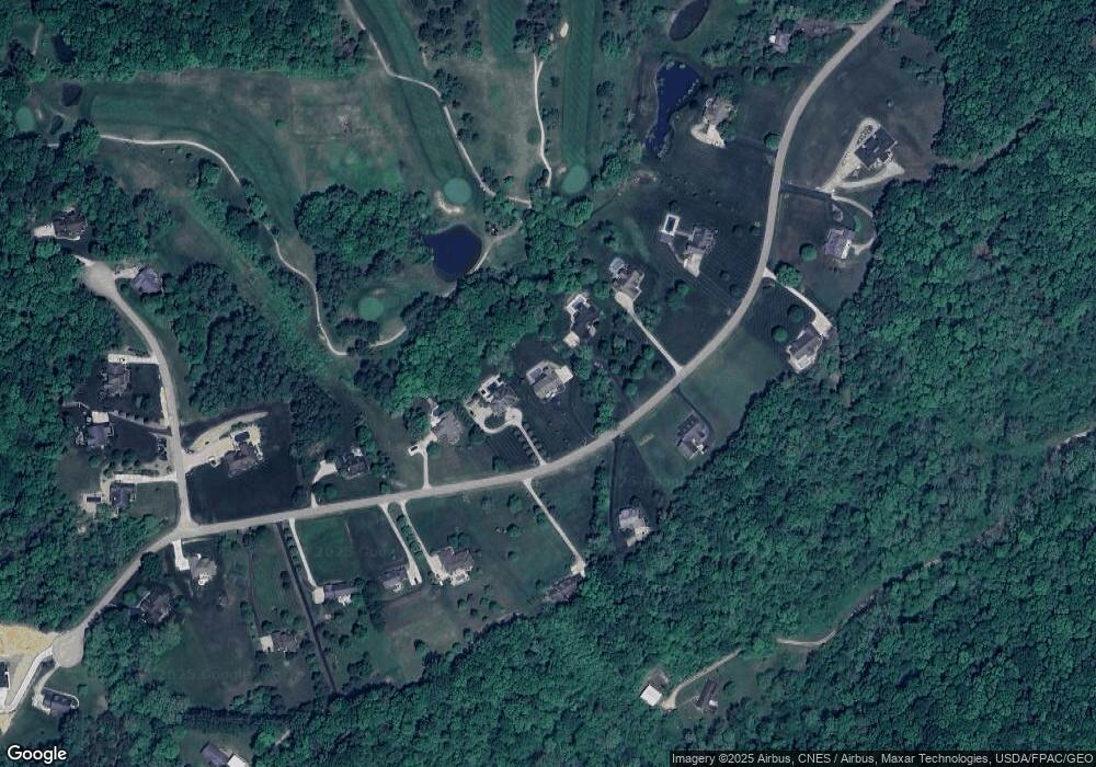
Map
Nearby Homes
- 15817 Nickel Plate Rd
- 953 Marla Ave
- 1300 Dannie Dr
- 33461 Barker Rd
- 787 Huntley Ave
- 741 Huntley Ave
- 14572 Hock Hocking Rd
- 875 Walhonding Ave
- 0 Cox Rd
- 849 Mohican Ave
- 0 Scout Rd Unit 225041746
- 111 Falls St
- 743 Summit Dr
- 571 E Main St
- 586 E Main St
- 90 S Culver St
- 165 N Homer Ave
- 32366 Lilac Ln
- 0 Redbud Ln Unit LOT 62 224020754
- 993 Tolliver Rd
- 14733 Bradford Dr
- 14785 Bradford Dr
- 14817 Bradford Dr
- 14701 Bradford Dr
- 14768 Bradford Dr
- 0 Bradford Dr Unit 9910648
- 000 Bradford Dr
- 0 Bradford Dr Unit 2424825
- 14732 Bradford Dr
- 14796 Bradford Dr
- 14661 Bradford Dr
- 14873 Bradford Dr
- 14848 Bradford Dr
- 14854 Bradford Dr
- 14668 Bradford Dr
- 14595 Bradford Dr
- 14690 Bradford Dr
- 14872 Mercia Ln
- 14882 Bradford Dr
- 14890 Bradford Dr