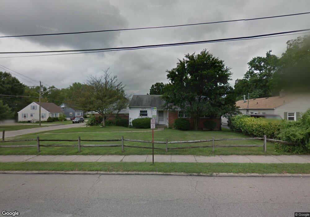
1477 Compton Rd Cincinnati, OH 45231
Estimated Value: $237,009 - $300,000
3
Beds
2
Baths
2,493
Sq Ft
$108/Sq Ft
Est. Value
About This Home
This home is located at 1477 Compton Rd, Cincinnati, OH 45231 and is currently estimated at $269,502, approximately $108 per square foot. 1477 Compton Rd is a home located in Hamilton County with nearby schools including Mt Healthy High School, John Paul II Catholic School, and Central Montessori Academy.
Ownership History
Date
Name
Owned For
Owner Type
Purchase Details
Closed on
Jan 14, 1998
Sold by
Duerstock Robert J and Duerstock Elaine W
Bought by
Couch James T and Couch Margie L
Current Estimated Value
Home Financials for this Owner
Home Financials are based on the most recent Mortgage that was taken out on this home.
Original Mortgage
$64,000
Interest Rate
7.24%
Create a Home Valuation Report for This Property
The Home Valuation Report is an in-depth analysis detailing your home's value as well as a comparison with similar homes in the area
Home Values in the Area
Average Home Value in this Area
Purchase History
| Date | Buyer | Sale Price | Title Company |
|---|---|---|---|
| Couch James T | $80,000 | -- |
Source: Public Records
Mortgage History
| Date | Status | Borrower | Loan Amount |
|---|---|---|---|
| Closed | Couch James T | $64,000 |
Source: Public Records
Tax History
| Year | Tax Paid | Tax Assessment Tax Assessment Total Assessment is a certain percentage of the fair market value that is determined by local assessors to be the total taxable value of land and additions on the property. | Land | Improvement |
|---|---|---|---|---|
| 2025 | $4,485 | $85,589 | $12,278 | $73,311 |
| 2024 | $4,460 | $85,589 | $12,278 | $73,311 |
| 2023 | $4,498 | $85,589 | $12,278 | $73,311 |
| 2022 | $3,418 | $46,533 | $10,273 | $36,260 |
| 2021 | $3,334 | $46,533 | $10,273 | $36,260 |
| 2020 | $3,423 | $46,533 | $10,273 | $36,260 |
| 2019 | $2,873 | $41,178 | $9,090 | $32,088 |
| 2018 | $2,891 | $41,178 | $9,090 | $32,088 |
| 2017 | $2,728 | $41,178 | $9,090 | $32,088 |
| 2016 | $2,896 | $42,431 | $8,484 | $33,947 |
| 2015 | $2,902 | $42,431 | $8,484 | $33,947 |
| 2014 | $2,884 | $42,431 | $8,484 | $33,947 |
| 2013 | $3,398 | $50,512 | $10,101 | $40,411 |
Source: Public Records
Map
Nearby Homes
- 7508 Elizabeth St
- 1461 Kinney Ave
- 7404 Joseph St
- 1545 Mcmakin Ave
- 1458 Van Fleet Ave
- 1500 Madison Ave
- 7718 Hamilton Ave
- 7849 Seward Ave
- 7274 Elizabeth St
- 1481 Saint Clair Ave
- 1457 Adams Rd
- 7918 Southampton Ct
- 7352 Clovernook Ave
- 1378 Adams Rd
- 1725 Hastings Ave
- 7227 Bernard Ave
- 8771 Desoto Dr
- 1478 Foxwood Dr
- 1476 Foxwood Dr
- 8719 Hood Ct
- 1485 Compton Rd
- 1487 Compton Rd
- 1480 Kinney Ave
- 1489 Compton Rd
- 7506 Martin St
- 1484 Kinney Ave
- 7508 Elizabeth St Unit 4
- 7508 Elizabeth St Unit 3
- 7502 Martin St
- 1493 Compton Rd
- 7504 Elizabeth St
- 1461 Compton Rd
- 7500 Martin St
- 7500 Elizabeth St
- 7604 Elizabeth St
- 1459 Compton Rd
- 1477 Kinney Ave
- 1479 Kinney Ave
- 1481 Kinney Ave
- 7606 Elizabeth St
Your Personal Tour Guide
Ask me questions while you tour the home.