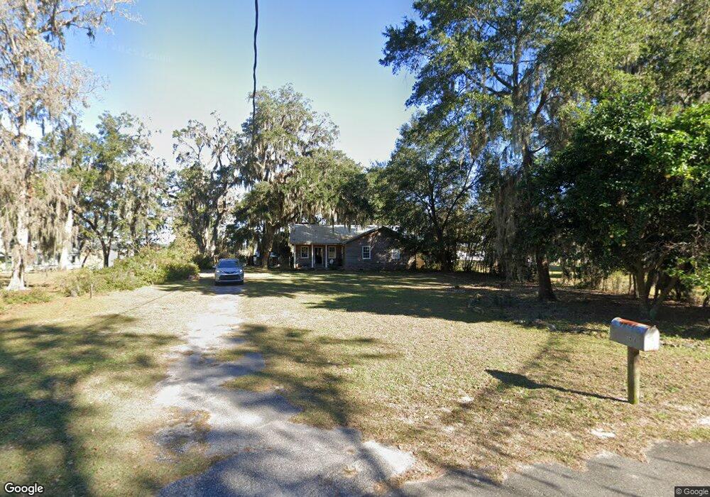
1478 Shell Point Rd NE Townsend, GA 31331
Estimated Value: $412,371 - $528,000
3
Beds
3
Baths
1,818
Sq Ft
$255/Sq Ft
Est. Value
About This Home
This home is located at 1478 Shell Point Rd NE, Townsend, GA 31331 and is currently estimated at $463,093, approximately $254 per square foot. 1478 Shell Point Rd NE is a home located in McIntosh County with nearby schools including Todd Grant Elementary School, McIntosh County Middle School, and McIntosh County Academy.
Ownership History
Date
Name
Owned For
Owner Type
Purchase Details
Closed on
Dec 24, 2018
Sold by
Martin Cloyce T
Bought by
Phillips Ora Gail
Current Estimated Value
Purchase Details
Closed on
May 19, 2017
Sold by
Winfrey Steven L
Bought by
Martin Cloyce
Purchase Details
Closed on
Apr 30, 2004
Sold by
Winfry L Steven
Bought by
Winfrey Steven and Winfrey Rose
Purchase Details
Closed on
Sep 27, 2000
Sold by
Dominy Phillip
Bought by
Winfry L Steven
Purchase Details
Closed on
May 19, 2000
Sold by
Dominy Dorothy
Bought by
Dominy Phillip
Purchase Details
Closed on
Apr 16, 1998
Sold by
Dominy Phillips
Bought by
Dominy Dorothy
Create a Home Valuation Report for This Property
The Home Valuation Report is an in-depth analysis detailing your home's value as well as a comparison with similar homes in the area
Purchase History
| Date | Buyer | Sale Price | Title Company |
|---|---|---|---|
| Phillips Ora Gail | -- | -- | |
| Martin Cloyce | $235,000 | -- | |
| Winfrey Steven | -- | -- | |
| Winfry L Steven | $135,000 | -- | |
| Dominy Phillip | -- | -- | |
| Dominy Dorothy | -- | -- |
Source: Public Records
Tax History
| Year | Tax Paid | Tax Assessment Tax Assessment Total Assessment is a certain percentage of the fair market value that is determined by local assessors to be the total taxable value of land and additions on the property. | Land | Improvement |
|---|---|---|---|---|
| 2024 | $931 | $132,024 | $30,000 | $102,024 |
| 2023 | $886 | $127,280 | $30,000 | $97,280 |
| 2022 | $886 | $110,128 | $30,000 | $80,128 |
| 2021 | $2,502 | $94,136 | $30,000 | $64,136 |
| 2020 | $1,999 | $91,620 | $30,000 | $61,620 |
| 2019 | $2,360 | $88,804 | $30,000 | $58,804 |
| 2018 | $1,900 | $71,484 | $30,000 | $41,484 |
| 2017 | $1,816 | $62,600 | $30,000 | $32,600 |
| 2016 | $1,816 | $62,600 | $30,000 | $32,600 |
| 2015 | $1,488 | $51,072 | $20,000 | $31,072 |
| 2014 | $1,491 | $51,072 | $20,000 | $31,072 |
Source: Public Records
Map
Nearby Homes
- 0 Pelican Perch Rd
- 1321 Shell Point Rd NE
- 1214 Shell Point Rd NE
- 3558 Belle Hammock Rd NE
- 2050 Belle Hammock Rd NE
- 1106 Shell Point Rd NE
- 1057 Shell Point Rd NE
- 1065 Fiddler Trace NE
- 1056 Fiddler Trace NE
- 1088 Fiddler Trace NE
- 1215 Fiddler Trace NE
- LOT 230 Coopers Landind Dr NE
- 1356 Fiddler Trace NE
- 3538 Belle Hammock Rd
- 3217 Coopers Point Dr NE
- 1143 Fiddler Crab Dr
- 1111 Fiddler Crab Dr
- Lot 231 Coopers Landing Dr NE
- 1143 Fiddler Crab Rd NE
- 1182 Fiddler Crab Dr
- 1446 Shell Point Rd NE
- 1500 Shell Point Rd NE
- 1442 Shell Point Rd NE
- 0 Shell Point Rd
- 1424 Shell Point Rd NE
- 1542 Shell Point Rd NE
- 1481 Shell Point Rd NE
- 1495 Shell Point Rd NE
- 1447 Shell Point Rd NE
- 1076 Fc Randall Dr NE
- 1000 Fc Randall Dr NE
- 1392 Shell Point Rd NE
- 1421 Shell Point Rd NE
- 20 Fc Randall Dr
- 1539 Shell Point Rd NE
- 1039 Platt Ln NE
- 1543 Shell Point Rd NE
- 1078 Pelican Perch Dr NE
- 1126 Pelican Perch Dr NE
- 1004 Fc Randall Dr NE
Your Personal Tour Guide
Ask me questions while you tour the home.