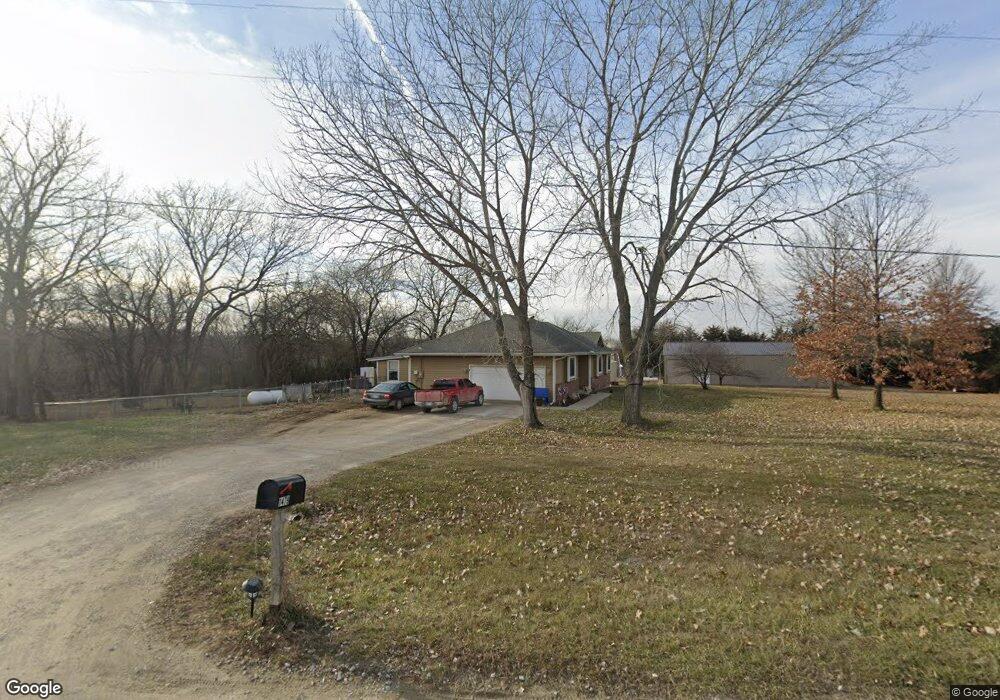
1479 E 688th Rd Lawrence, KS 66049
Estimated Value: $393,000 - $406,000
3
Beds
2
Baths
1,386
Sq Ft
$287/Sq Ft
Est. Value
About This Home
This home is located at 1479 E 688th Rd, Lawrence, KS 66049 and is currently estimated at $397,638, approximately $286 per square foot. 1479 E 688th Rd is a home located in Douglas County with nearby schools including Lecompton Elementary School, Perry-Lecompton Middle School, and Perry-Lecompton High School.
Ownership History
Date
Name
Owned For
Owner Type
Purchase Details
Closed on
Sep 30, 2003
Sold by
Sloan Kenneth L and Sloan Cheryl L
Bought by
Mcnally Jared M and Mcnally Jamie L
Current Estimated Value
Home Financials for this Owner
Home Financials are based on the most recent Mortgage that was taken out on this home.
Original Mortgage
$137,600
Outstanding Balance
$64,344
Interest Rate
6.24%
Mortgage Type
Purchase Money Mortgage
Estimated Equity
$333,294
Create a Home Valuation Report for This Property
The Home Valuation Report is an in-depth analysis detailing your home's value as well as a comparison with similar homes in the area
Purchase History
| Date | Buyer | Sale Price | Title Company |
|---|---|---|---|
| Mcnally Jared M | -- | First American Title |
Source: Public Records
Mortgage History
| Date | Status | Borrower | Loan Amount |
|---|---|---|---|
| Open | Mcnally Jared M | $137,600 |
Source: Public Records
Tax History
| Year | Tax Paid | Tax Assessment Tax Assessment Total Assessment is a certain percentage of the fair market value that is determined by local assessors to be the total taxable value of land and additions on the property. | Land | Improvement |
|---|---|---|---|---|
| 2025 | $5,185 | $43,878 | $7,135 | $36,743 |
| 2024 | $4,767 | $40,695 | $6,928 | $33,767 |
| 2023 | $4,914 | $40,369 | $6,514 | $33,855 |
| 2022 | $4,232 | $34,236 | $5,686 | $28,550 |
| 2021 | $3,548 | $28,060 | $5,603 | $22,457 |
| 2020 | $3,367 | $26,899 | $5,603 | $21,296 |
| 2019 | $3,197 | $25,617 | $5,437 | $20,180 |
| 2018 | $3,197 | $25,646 | $5,357 | $20,289 |
| 2017 | $3,200 | $25,586 | $5,357 | $20,229 |
| 2016 | $3,078 | $25,034 | $6,003 | $19,031 |
| 2015 | $3,007 | $25,034 | $6,003 | $19,031 |
| 2014 | $2,771 | $23,230 | $6,003 | $17,227 |
Source: Public Records
Map
Nearby Homes
- 843 N 1500 Rd
- 521 N 1450 Rd
- 5616 Maggie Way
- Lot 2 N Running Ridge Rd
- 5901 Maggie Way
- 1115 Klein Ct
- 927 N 1464 Rd
- 1532B Legend Trail Dr
- 6309 Serenade Ct
- 2250 Lake Pointe Dr Unit 1104
- 2250 Lake Pointe Dr Unit 1900
- 2250 Lake Pointe Dr Unit 300
- 2250 Lake Pointe Dr Unit 1502
- 1651 George Williams Way
- 1639 George Williams Way
- 1727 Lake Alvamar Dr
- 1709 Lake Alvamar Dr
- 1604 Bob White Dr
- 5710 Goff Ct
- 5800 Johnson Dr
Your Personal Tour Guide
Ask me questions while you tour the home.