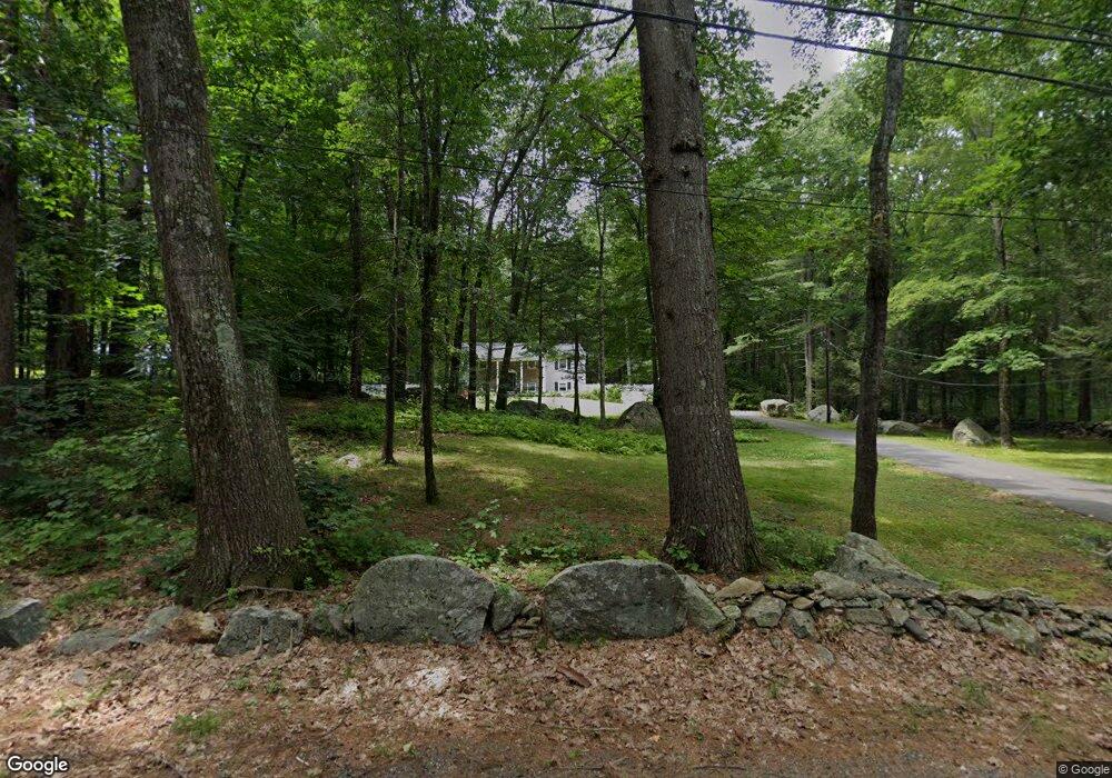
148 Allen Rd Berlin, MA 01503
Estimated Value: $585,259 - $670,000
3
Beds
4
Baths
1,428
Sq Ft
$441/Sq Ft
Est. Value
About This Home
This home is located at 148 Allen Rd, Berlin, MA 01503 and is currently estimated at $629,565, approximately $440 per square foot. 148 Allen Rd is a home located in Worcester County with nearby schools including Tahanto Regional High School.
Ownership History
Date
Name
Owned For
Owner Type
Purchase Details
Closed on
Oct 14, 1993
Sold by
Barnard John D
Bought by
Belauskas Steven A and Belauskas Karen
Current Estimated Value
Home Financials for this Owner
Home Financials are based on the most recent Mortgage that was taken out on this home.
Original Mortgage
$130,000
Interest Rate
6.87%
Mortgage Type
Purchase Money Mortgage
Purchase Details
Closed on
Jul 30, 1990
Sold by
Mayou Arthur B
Bought by
Barnard John D
Create a Home Valuation Report for This Property
The Home Valuation Report is an in-depth analysis detailing your home's value as well as a comparison with similar homes in the area
Home Values in the Area
Average Home Value in this Area
Purchase History
| Date | Buyer | Sale Price | Title Company |
|---|---|---|---|
| Belauskas Steven A | $168,500 | -- | |
| Barnard John D | $190,000 | -- |
Source: Public Records
Mortgage History
| Date | Status | Borrower | Loan Amount |
|---|---|---|---|
| Open | Barnard John D | $155,000 | |
| Closed | Barnard John D | $10,000 | |
| Closed | Barnard John D | $165,000 | |
| Closed | Barnard John D | $130,000 |
Source: Public Records
Tax History
| Year | Tax Paid | Tax Assessment Tax Assessment Total Assessment is a certain percentage of the fair market value that is determined by local assessors to be the total taxable value of land and additions on the property. | Land | Improvement |
|---|---|---|---|---|
| 2025 | $79 | $557,100 | $248,800 | $308,300 |
| 2024 | $7,103 | $557,100 | $248,800 | $308,300 |
| 2023 | $6,935 | $501,100 | $216,400 | $284,700 |
| 2022 | $6,643 | $425,000 | $180,200 | $244,800 |
| 2021 | $6,124 | $393,100 | $171,500 | $221,600 |
| 2020 | $5,901 | $373,700 | $158,800 | $214,900 |
| 2019 | $4,436 | $363,700 | $158,800 | $204,900 |
| 2018 | $5,057 | $346,400 | $148,400 | $198,000 |
| 2017 | $3,724 | $346,400 | $148,400 | $198,000 |
| 2016 | $4,770 | $300,400 | $134,800 | $165,600 |
| 2015 | $4,798 | $298,200 | $128,300 | $169,900 |
| 2014 | $4,971 | $298,200 | $128,300 | $169,900 |
Source: Public Records
Map
Nearby Homes
- 11 Lindbergh Street Rear
- 23 Coyne St
- 15 Bufton Farm Rd
- 404 Fernwood Ln Unit 404
- 3202 Briarwood Village Unit 3202
- 212 Chace St
- 167 Lancaster Rd
- 1401 Kenwood Way
- 1221 Hazelwood Way Unit 1221
- 831 Ledgewood Way
- 843 Ledgewood Way
- 839 Ledgewood Way
- 109 Oak St
- 6 Mcnulty Rd
- 2 Eagle Nest Unit B6-2
- 66 Oak St Unit 66
- 18 Sargent Rd
- 146 Randall Rd
- 288 Grove St Unit 288
- 118 Randall Rd
Your Personal Tour Guide
Ask me questions while you tour the home.