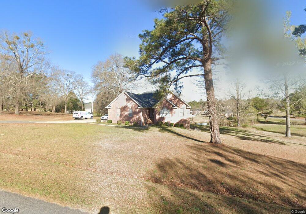
148 John Michael Dr Macon, GA 31211
Estimated Value: $235,000 - $280,000
Studio
2
Baths
1,875
Sq Ft
$139/Sq Ft
Est. Value
About This Home
This home is located at 148 John Michael Dr, Macon, GA 31211 and is currently estimated at $260,824, approximately $139 per square foot. 148 John Michael Dr is a home located in Jones County with nearby schools including Mattie Wells Elementary School, Clifton Ridge Middle School, and Jones County High School.
Ownership History
Date
Name
Owned For
Owner Type
Purchase Details
Closed on
Apr 7, 2023
Sold by
Wright La Shandia
Bought by
Wright Christopher
Current Estimated Value
Purchase Details
Closed on
Nov 13, 2012
Sold by
Wright Lashandia
Bought by
Wright Christopher
Home Financials for this Owner
Home Financials are based on the most recent Mortgage that was taken out on this home.
Original Mortgage
$141,000
Interest Rate
3.4%
Mortgage Type
New Conventional
Purchase Details
Closed on
Sep 14, 2007
Sold by
Not Provided
Bought by
Wright Christopher and Wright Lashandia
Purchase Details
Closed on
Apr 10, 2000
Sold by
J&W Custom Homes
Bought by
Wooten Jessie
Create a Home Valuation Report for This Property
The Home Valuation Report is an in-depth analysis detailing your home's value as well as a comparison with similar homes in the area
Purchase History
| Date | Buyer | Sale Price | Title Company |
|---|---|---|---|
| Wright Christopher | -- | -- | |
| Wright Christopher | -- | -- | |
| Wright Christopher | -- | -- | |
| Wooten Jessie | $16,500 | -- |
Source: Public Records
Mortgage History
| Date | Status | Borrower | Loan Amount |
|---|---|---|---|
| Previous Owner | Wright Christopher | $141,000 |
Source: Public Records
Tax History
| Year | Tax Paid | Tax Assessment Tax Assessment Total Assessment is a certain percentage of the fair market value that is determined by local assessors to be the total taxable value of land and additions on the property. | Land | Improvement |
|---|---|---|---|---|
| 2025 | $3,809 | $119,826 | $9,360 | $110,466 |
| 2024 | $2,674 | $78,988 | $7,200 | $71,788 |
| 2023 | $1,730 | $69,507 | $7,200 | $62,307 |
| 2022 | $2,364 | $69,507 | $7,200 | $62,307 |
| 2021 | $2,367 | $69,507 | $7,200 | $62,307 |
| 2020 | $2,368 | $69,507 | $7,200 | $62,307 |
| 2019 | $2,368 | $69,507 | $7,200 | $62,307 |
| 2018 | $2,368 | $69,507 | $7,200 | $62,307 |
| 2017 | $2,368 | $75,580 | $7,200 | $68,380 |
| 2016 | $2,315 | $68,022 | $7,200 | $60,822 |
| 2015 | $2,186 | $68,022 | $7,200 | $60,822 |
| 2014 | $2,019 | $68,022 | $7,200 | $60,822 |
Source: Public Records
Map
Nearby Homes
- 225 Olivia Cir
- 227 Dusty Ln
- 3608 Joycliff Rd
- 118 Oakwood Dr
- 3462 Joycliff Rd
- 687 Jasmine Dr
- 1030 Sun Valley Ct Unit C55
- 1030 Sun Valley Ct
- 1034 Sun Valley Ct Unit C56
- 1034 Sun Valley Ct
- 1038 Sun Valley Ct Unit C57
- 1038 Sun Valley Ct
- 131 Sun Valley Dr
- 0 Kings Ct N Unit 10666708
- 168 Ruby Dr
- 240 Neptune Ct
- 3446 Kingsview Cir
- 0 Champion Dr Unit 10666714
- 201 Joycliff Cir
- 155 Alton Rd
- 198 Olivia Cir
- 147 John Michael Dr
- 136 John Michael Dr
- 153 John Michael Dr
- 201 Olivia Cir
- 170 John Michael Dr
- 0 Olivia Cir Unit Par A 117429
- 0 Olivia Cir Unit Par A M117429
- 157 John Michael Dr
- 137 John Michael Dr
- 195 Olivia Cir
- 163 John Michael Dr
- 190 Olivia Cir
- 191 Dusty Ln
- 176 John Michael Dr
- 226 Olivia Cir
- 128 John Michael Dr
- 191 Olivia Cir
- 131 John Michael Dr
- 109 Olivia Cir
Your Personal Tour Guide
Ask me questions while you tour the home.