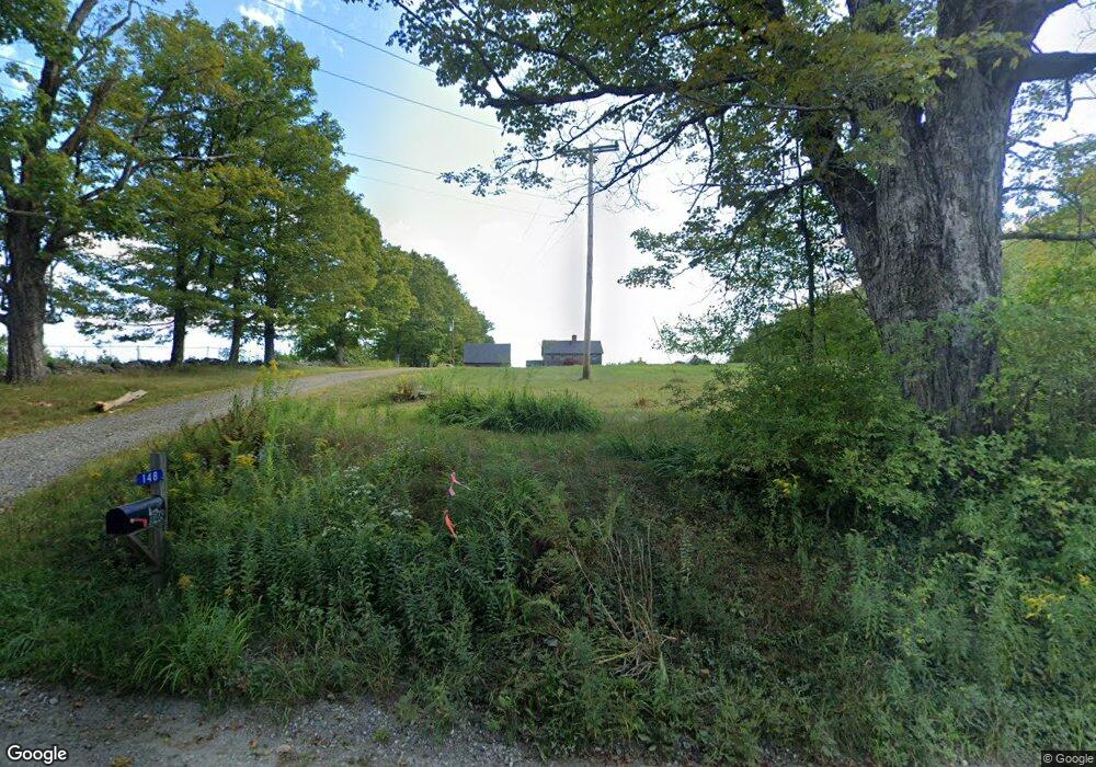
148 Sumner Stetson Rd Colrain, MA 01340
Heath NeighborhoodEstimated Value: $446,664 - $599,000
3
Beds
2
Baths
1,632
Sq Ft
$326/Sq Ft
Est. Value
About This Home
This home is located at 148 Sumner Stetson Rd, Colrain, MA 01340 and is currently estimated at $531,416, approximately $325 per square foot. 148 Sumner Stetson Rd is a home located in Franklin County with nearby schools including Mohawk Trail Regional High School.
Ownership History
Date
Name
Owned For
Owner Type
Purchase Details
Closed on
Sep 22, 2016
Sold by
Peter L Row Ret
Bought by
Heather R Row Ret
Current Estimated Value
Purchase Details
Closed on
Nov 5, 2015
Sold by
Row Peter L and Row Heather R
Bought by
Heather R Row Ret
Purchase Details
Closed on
Jul 2, 2010
Sold by
Moore Donald M and Moore Karen O
Bought by
Row Peter L and Row Heather R
Home Financials for this Owner
Home Financials are based on the most recent Mortgage that was taken out on this home.
Original Mortgage
$238,400
Interest Rate
4.88%
Mortgage Type
Purchase Money Mortgage
Create a Home Valuation Report for This Property
The Home Valuation Report is an in-depth analysis detailing your home's value as well as a comparison with similar homes in the area
Home Values in the Area
Average Home Value in this Area
Purchase History
| Date | Buyer | Sale Price | Title Company |
|---|---|---|---|
| Heather R Row Ret | -- | -- | |
| Heather R Row Ret | -- | -- | |
| Row Peter L | $298,000 | -- |
Source: Public Records
Mortgage History
| Date | Status | Borrower | Loan Amount |
|---|---|---|---|
| Previous Owner | Row Peter L | $238,400 |
Source: Public Records
Tax History
| Year | Tax Paid | Tax Assessment Tax Assessment Total Assessment is a certain percentage of the fair market value that is determined by local assessors to be the total taxable value of land and additions on the property. | Land | Improvement |
|---|---|---|---|---|
| 2025 | $6,079 | $323,193 | $40,693 | $282,500 |
| 2024 | $5,610 | $274,620 | $36,920 | $237,700 |
| 2023 | $5,872 | $256,634 | $27,534 | $229,100 |
| 2022 | $5,806 | $269,900 | $43,700 | $226,200 |
| 2021 | $5,657 | $251,200 | $40,000 | $211,200 |
| 2020 | $5,507 | $247,500 | $35,200 | $212,300 |
| 2019 | $5,426 | $251,200 | $36,400 | $214,800 |
| 2018 | $5,246 | $240,530 | $25,730 | $214,800 |
| 2017 | $5,277 | $251,400 | $35,600 | $215,800 |
| 2016 | $5,183 | $252,700 | $35,600 | $217,100 |
| 2015 | $5,068 | $253,900 | $35,600 | $218,300 |
Source: Public Records
Map
Nearby Homes
- 594 Massachusetts 8a
- 1192 Chapel Hill Rd
- 442 Mcmillan Rd
- 2173 Vermont 8a
- Lot 121 Davis Mine Rd
- 1033 Burrington Hill Rd
- 14 South Rd
- 843 Kentfield Rd
- 292 Deer Hill Rd
- 251 Phillips Hill Rd
- 1587 Upper Holbrook Rd
- 829 Pennel Hill Rd
- 233 Poverty Row
- 8 Deer Run Path
- 104 Karen Day Rd
- 127 County Rd
- 7139 Vermont Route 100
- 0 Potters Rd Unit 248445
- 0 Potters Rd Unit 73439831
- 636 Tunnel St
- 186 Sumner Stetson Rd
- 134 Sumner Stetson Rd
- 153 Sumner Stetson Rd
- 147 Sumner Stetson Rd
- 162 Sumner Stetson Rd
- 107 Sumner Stetson Rd
- 108 Sumner Stetson Rd
- 205 Underwood Hill Rd
- 7 Underwood Hill Rd
- 43 Underwood Hill Rd
- 70 Underwood Hill Rd
- 72 Underwood Hill Rd
- 77 Sadoga Rd
- 85 Sumner Stetson Rd
- 11 Sadoga Rd
- 71 Sadoga Rd
- 0 Underwood Hill Rd Unit 70934763
- 0 Underwood Hill Rd Unit 71481316
- 0 Underwood Hill Rd Unit 71520680
Your Personal Tour Guide
Ask me questions while you tour the home.