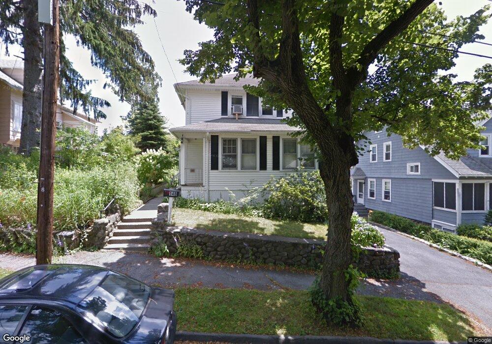
148 Whitmarsh Ave Worcester, MA 01606
Greendale NeighborhoodEstimated Value: $393,407 - $469,000
3
Beds
1
Bath
1,344
Sq Ft
$317/Sq Ft
Est. Value
About This Home
This home is located at 148 Whitmarsh Ave, Worcester, MA 01606 and is currently estimated at $426,352, approximately $317 per square foot. 148 Whitmarsh Ave is a home located in Worcester County with nearby schools including Jacob Hiatt Magnet School, Chandler Magnet, and Thorndyke Road School.
Ownership History
Date
Name
Owned For
Owner Type
Purchase Details
Closed on
Feb 15, 2024
Sold by
Ferabolli Altair
Bought by
Altair Ferabolli Ret and Ferabolli
Current Estimated Value
Purchase Details
Closed on
Nov 13, 2000
Sold by
Killoran Margaret Est and Alexander
Bought by
Ferabolli Altair and Ferabolli Catherine
Home Financials for this Owner
Home Financials are based on the most recent Mortgage that was taken out on this home.
Original Mortgage
$114,400
Interest Rate
7.81%
Mortgage Type
Purchase Money Mortgage
Create a Home Valuation Report for This Property
The Home Valuation Report is an in-depth analysis detailing your home's value as well as a comparison with similar homes in the area
Home Values in the Area
Average Home Value in this Area
Purchase History
| Date | Buyer | Sale Price | Title Company |
|---|---|---|---|
| Altair Ferabolli Ret | -- | None Available | |
| Ferabolli Altair | $143,000 | -- |
Source: Public Records
Mortgage History
| Date | Status | Borrower | Loan Amount |
|---|---|---|---|
| Previous Owner | Ferabolli Altair | $166,327 | |
| Previous Owner | Ferabolli Altair | $166,435 | |
| Previous Owner | Ferabolli Altair | $114,400 | |
| Previous Owner | Ferabolli Altair | $114,400 |
Source: Public Records
Tax History
| Year | Tax Paid | Tax Assessment Tax Assessment Total Assessment is a certain percentage of the fair market value that is determined by local assessors to be the total taxable value of land and additions on the property. | Land | Improvement |
|---|---|---|---|---|
| 2025 | $4,201 | $318,500 | $97,900 | $220,600 |
| 2024 | $4,033 | $293,300 | $97,900 | $195,400 |
| 2023 | $3,875 | $270,200 | $85,100 | $185,100 |
| 2022 | $3,573 | $234,900 | $68,100 | $166,800 |
| 2021 | $3,453 | $212,100 | $54,500 | $157,600 |
| 2020 | $3,298 | $194,000 | $54,500 | $139,500 |
| 2019 | $3,175 | $176,400 | $49,000 | $127,400 |
| 2018 | $3,173 | $167,800 | $49,000 | $118,800 |
| 2017 | $3,044 | $158,400 | $49,000 | $109,400 |
| 2016 | $3,026 | $146,800 | $36,400 | $110,400 |
| 2015 | $2,946 | $146,800 | $36,400 | $110,400 |
| 2014 | $2,868 | $146,800 | $36,400 | $110,400 |
Source: Public Records
Map
Nearby Homes
- 142 Whitmarsh Ave
- 150 Whitmarsh Ave
- 145 King Philip Rd
- 141 King Philip Rd
- 149 King Philip Rd
- 152 Whitmarsh Ave
- 137 King Philip Rd
- 149 Whitmarsh Ave
- 143 Whitmarsh Ave
- 155 King Philip Rd
- 130 Whitmarsh Ave
- 130 Whitmarsh Ave
- 130 Whitmarsh Ave Unit 130
- 133 Whitmarsh Ave
- 162 Whitmarsh Ave
- 159 Whitmarsh Ave
- 159 King Philip Rd
- 129 King Philip Rd
- 126 Whitmarsh Ave
- 129 Whitmarsh Ave
Your Personal Tour Guide
Ask me questions while you tour the home.