148 Windswept Way Osterville, MA 2655
Osterville NeighborhoodEstimated Value: $2,606,000 - $7,369,709
3
Beds
3
Baths
1,822
Sq Ft
$2,893/Sq Ft
Est. Value
About This Home
This home is located at 148 Windswept Way, Osterville, MA 2655 and is currently estimated at $5,270,903, approximately $2,892 per square foot. 148 Windswept Way is a home located in Barnstable County with nearby schools including West Villages Elementary School, Barnstable United Elementary School, and Barnstable Intermediate School.
Ownership History
Date
Name
Owned For
Owner Type
Purchase Details
Closed on
Aug 26, 2022
Sold by
Cedarchip Rt and Abbott
Bought by
Bayside Prop Holdings Llc
Current Estimated Value
Home Financials for this Owner
Home Financials are based on the most recent Mortgage that was taken out on this home.
Original Mortgage
$4,495,000
Outstanding Balance
$4,279,913
Interest Rate
5.51%
Mortgage Type
Purchase Money Mortgage
Estimated Equity
$990,990
Purchase Details
Closed on
Dec 29, 2004
Sold by
Peninsula Rt and Blakeley
Bought by
Cedarchip Rt and Abbott
Create a Home Valuation Report for This Property
The Home Valuation Report is an in-depth analysis detailing your home's value as well as a comparison with similar homes in the area
Home Values in the Area
Average Home Value in this Area
Purchase History
| Date | Buyer | Sale Price | Title Company |
|---|---|---|---|
| Bayside Prop Holdings Llc | $6,250,000 | None Available | |
| Cedarchip Rt | -- | -- | |
| Cedarchip Rt | -- | -- |
Source: Public Records
Mortgage History
| Date | Status | Borrower | Loan Amount |
|---|---|---|---|
| Open | Bayside Prop Holdings Llc | $4,495,000 |
Source: Public Records
Tax History
| Year | Tax Paid | Tax Assessment Tax Assessment Total Assessment is a certain percentage of the fair market value that is determined by local assessors to be the total taxable value of land and additions on the property. | Land | Improvement |
|---|---|---|---|---|
| 2025 | $47,059 | $5,816,900 | $5,426,100 | $390,800 |
| 2024 | $45,399 | $5,812,900 | $5,426,100 | $386,800 |
| 2023 | $43,881 | $5,261,500 | $4,934,100 | $327,400 |
| 2022 | $37,940 | $3,935,700 | $3,658,500 | $277,200 |
| 2021 | $40,692 | $3,879,100 | $3,658,500 | $220,600 |
| 2020 | $42,497 | $3,877,500 | $3,666,300 | $211,200 |
| 2019 | $37,134 | $3,292,000 | $3,110,800 | $181,200 |
| 2018 | $37,900 | $3,377,900 | $3,230,800 | $147,100 |
| 2017 | $36,238 | $3,367,800 | $3,230,800 | $137,000 |
| 2016 | $36,470 | $3,345,900 | $3,202,900 | $143,000 |
| 2015 | $36,392 | $3,354,100 | $3,203,100 | $151,000 |
Source: Public Records
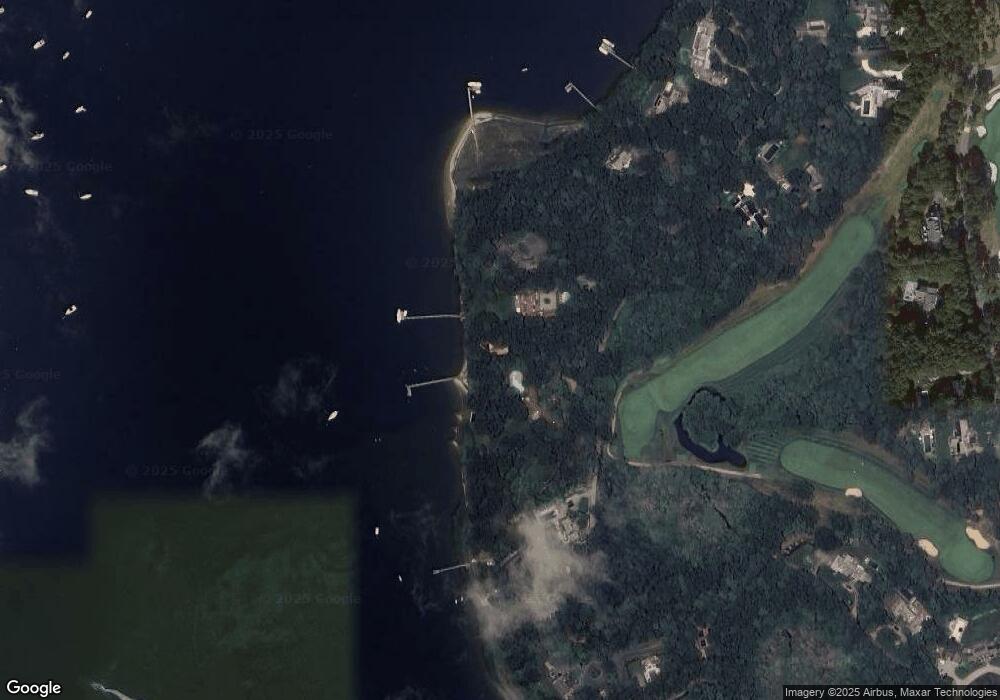
Map
Nearby Homes
- 440 Grand Island Dr
- 135 Putnam Avenue (Land)
- Lot 288 Seapuit River Rd A
- 33 Oyster Place Rd
- 916 Main St
- 804 Main St
- Lot 289 Seapuit River Road B
- 925 Main St Unit 3
- Lot 289 Seapuit River B Rd
- Lot 288 Seapuit River A Rd
- 1081 Main St
- 30 Wings Ln
- 181 School St
- 188 Ocean View Ave
- 14 Indian Trail
- 552 Main St
- 835 Old Post Rd
- 71 Sand Point
- 564 Cotuit Bay Dr
- 564 Cotuit Bay Dr
- 134 Windswept Way
- 186 Windswept Way
- 118 Windswept Way
- 186 Windswept Way
- 110 Windswept Way
- 196 Windswept Way
- 121 Windswept Way
- 100 Windswept Way
- 95 Windswept Way
- 95 Windswept Way
- 220 Windswept Way
- 84 Windswept Way
- 250 Windswept Way
- 79 Windswept Way
- 59 Windswept Way
- 11 Cove Ln
- 285 Windswept Way
- 43 Sunset Ln
- 285 Windswept Way
- 43 Sunset Point
Your Personal Tour Guide
Ask me questions while you tour the home.