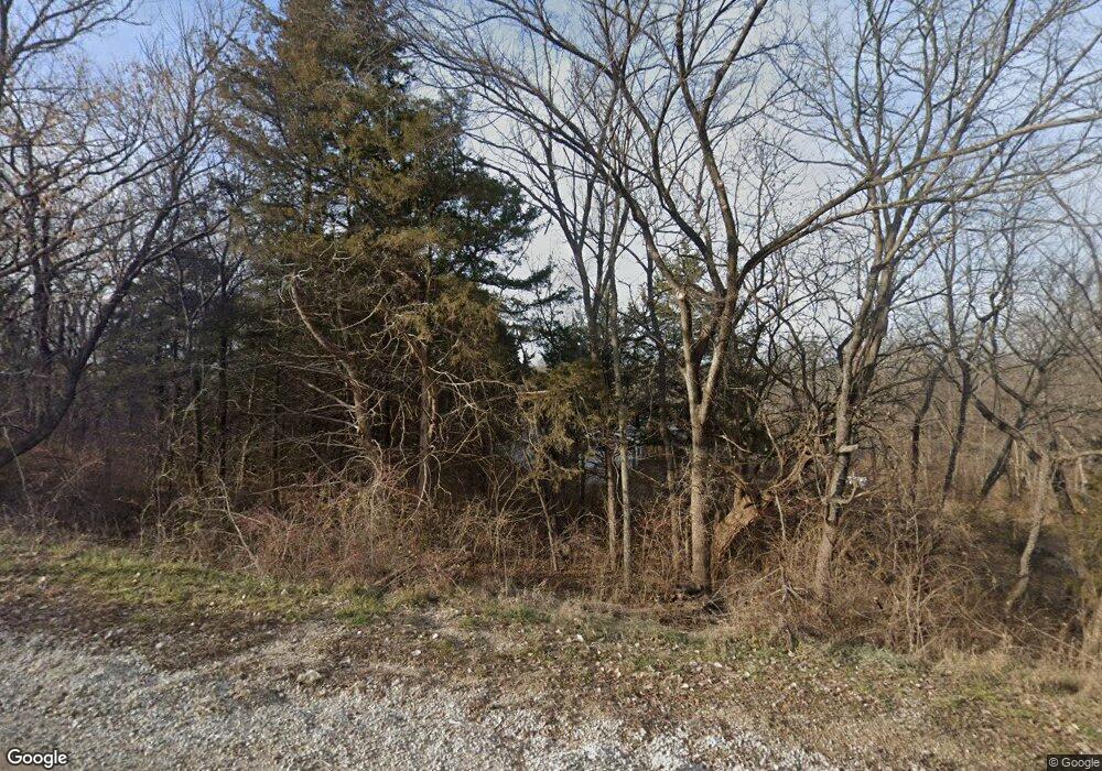
1481 E 660th Rd Lawrence, KS 66049
Estimated Value: $505,000 - $622,000
5
Beds
3
Baths
2,098
Sq Ft
$258/Sq Ft
Est. Value
About This Home
This home is located at 1481 E 660th Rd, Lawrence, KS 66049 and is currently estimated at $540,678, approximately $257 per square foot. 1481 E 660th Rd is a home located in Douglas County with nearby schools including Lecompton Elementary School, Perry-Lecompton Middle School, and Perry-Lecompton High School.
Ownership History
Date
Name
Owned For
Owner Type
Purchase Details
Closed on
May 31, 2023
Sold by
Barfield David W and Barfield Catherine M
Bought by
David W Barfield And Catherine M Barfield Rev
Current Estimated Value
Purchase Details
Closed on
Nov 19, 2001
Sold by
Barfield David W and Barfield Catherine M
Bought by
Barfield David W and Barfield Catherine M
Purchase Details
Closed on
Aug 2, 2001
Sold by
Johnson Douglas A and Johnson Margo J
Bought by
Barfield David W and Barfield Catherine M
Home Financials for this Owner
Home Financials are based on the most recent Mortgage that was taken out on this home.
Original Mortgage
$100,000
Interest Rate
7.16%
Create a Home Valuation Report for This Property
The Home Valuation Report is an in-depth analysis detailing your home's value as well as a comparison with similar homes in the area
Purchase History
| Date | Buyer | Sale Price | Title Company |
|---|---|---|---|
| David W Barfield And Catherine M Barfield Rev | -- | None Listed On Document | |
| Barfield David W | -- | First American Title | |
| Barfield David W | -- | First American Title |
Source: Public Records
Mortgage History
| Date | Status | Borrower | Loan Amount |
|---|---|---|---|
| Previous Owner | Barfield David W | $100,000 |
Source: Public Records
Tax History
| Year | Tax Paid | Tax Assessment Tax Assessment Total Assessment is a certain percentage of the fair market value that is determined by local assessors to be the total taxable value of land and additions on the property. | Land | Improvement |
|---|---|---|---|---|
| 2025 | $6,990 | $58,663 | $7,004 | $51,659 |
| 2024 | $6,745 | $56,994 | $6,802 | $50,192 |
| 2023 | $6,312 | $51,624 | $6,400 | $45,224 |
| 2022 | $5,949 | $47,829 | $5,595 | $42,234 |
| 2021 | $4,933 | $38,870 | $5,514 | $33,356 |
| 2020 | $4,713 | $37,501 | $5,514 | $31,987 |
| 2019 | $4,458 | $35,581 | $5,353 | $30,228 |
| 2018 | $4,321 | $34,535 | $5,273 | $29,262 |
| 2017 | $4,238 | $33,764 | $5,273 | $28,491 |
| 2016 | $4,085 | $33,108 | $5,836 | $27,272 |
| 2015 | $3,958 | $32,832 | $5,836 | $26,996 |
| 2014 | $3,881 | $32,384 | $5,836 | $26,548 |
Source: Public Records
Map
Nearby Homes
- 1537 E 642nd Rd
- 1599 E 700 Rd
- 843 N 1500 Rd
- 908 & 910 Alma Dr
- 5616 Maggie Way
- Lot 2 N Running Ridge Rd
- 1120 Klein Ct
- 1549 Legend Trail Dr Unit A
- 1528 Legend Trail Dr Unit A
- 1522 Legend Trail Dr Unit B
- 2250 Lake Pointe Dr Unit 304
- 1628 E 400 Rd
- 1628 E 400th Rd
- 1709 Lake Alvamar Dr
- 1604 Bob White Dr
- 5710 Goff Ct
- 1564 Fountain Dr
- 20 Acres M/L E 350 Rd
- 1033 Stonecreek Dr
- 1236 Juniper Ln
