Estimated Value: $321,000 - $403,534
5
Beds
5
Baths
3,508
Sq Ft
$106/Sq Ft
Est. Value
About This Home
This home is located at 1482 Bellvue Dr, Niles, OH 44446 and is currently estimated at $372,384, approximately $106 per square foot. 1482 Bellvue Dr is a home located in Trumbull County with nearby schools including Niles Primary School, Niles Intermediate School, and Niles Middle School.
Ownership History
Date
Name
Owned For
Owner Type
Purchase Details
Closed on
Mar 17, 2005
Sold by
Muccio Philip E
Bought by
Williams Kenneth W and Williams Renee E
Current Estimated Value
Home Financials for this Owner
Home Financials are based on the most recent Mortgage that was taken out on this home.
Original Mortgage
$216,000
Outstanding Balance
$109,941
Interest Rate
5.67%
Mortgage Type
New Conventional
Estimated Equity
$262,443
Purchase Details
Closed on
Jan 1, 1990
Bought by
Philip Philip S and Philip E
Create a Home Valuation Report for This Property
The Home Valuation Report is an in-depth analysis detailing your home's value as well as a comparison with similar homes in the area
Home Values in the Area
Average Home Value in this Area
Purchase History
| Date | Buyer | Sale Price | Title Company |
|---|---|---|---|
| Williams Kenneth W | $240,000 | -- | |
| Philip Philip S | -- | -- |
Source: Public Records
Mortgage History
| Date | Status | Borrower | Loan Amount |
|---|---|---|---|
| Open | Williams Kenneth W | $216,000 |
Source: Public Records
Tax History Compared to Growth
Tax History
| Year | Tax Paid | Tax Assessment Tax Assessment Total Assessment is a certain percentage of the fair market value that is determined by local assessors to be the total taxable value of land and additions on the property. | Land | Improvement |
|---|---|---|---|---|
| 2024 | $4,130 | $98,710 | $14,040 | $84,670 |
| 2023 | $4,130 | $98,710 | $14,040 | $84,670 |
| 2022 | $4,137 | $84,430 | $14,040 | $70,390 |
| 2021 | $4,345 | $84,430 | $14,040 | $70,390 |
| 2020 | $4,385 | $84,430 | $14,040 | $70,390 |
| 2019 | $4,258 | $78,020 | $14,040 | $63,980 |
| 2018 | $4,245 | $78,020 | $14,040 | $63,980 |
| 2017 | $4,222 | $78,020 | $14,040 | $63,980 |
| 2016 | $4,105 | $75,120 | $14,040 | $61,080 |
| 2015 | $4,059 | $75,120 | $14,040 | $61,080 |
| 2014 | $4,073 | $75,120 | $14,040 | $61,080 |
| 2013 | $4,057 | $79,000 | $14,040 | $64,960 |
Source: Public Records
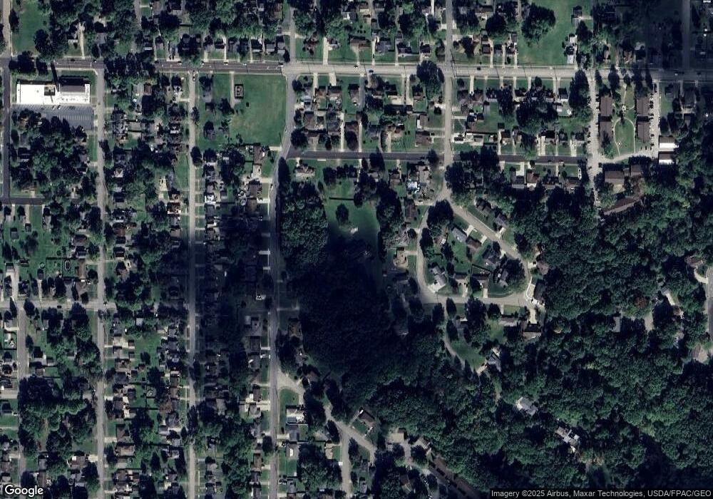
Map
Nearby Homes
- 126 S Rhodes Ave
- 21 Summit Ave
- 311 High Ave
- 1804 Stepney St
- 352 N Rhodes Ave
- 340 Mcevoy Ct
- 504 High Ave
- 0 Summit
- 1919 Carnegie Heights Dr
- 29 S Bentley Ave
- 364 Hogarth Ave
- 839 Robbins Ave
- 816 Fenton St
- 39 Belmont Ave
- 17 Belmont Ave
- 719 Robbins Ave
- 404 N Bentley Ave
- 611 Mason St
- 4,6,8 Lafayette
- 812 Hartzell Ave
- 136 S Rhodes Ave
- 1476 Bellvue Dr
- 81 S Cleveland Ave
- 118 S Rhodes Ave
- 87 S Cleveland Ave
- 1467 Stepney St
- 1475 Stepney St
- 1459 Stepney St
- 1481 Stepney St
- 125 S Rhodes Ave
- 141 S Rhodes Ave
- 33 S Cleveland Ave
- 1479 Bellvue Dr
- 103 S Cleveland Ave
- 122 Phillips Ave
- 74 S Cleveland Ave
- 66 S Cleveland Ave
- 1495 Bellvue Dr
- 104 S Rhodes Ave
- 80 S Cleveland Ave