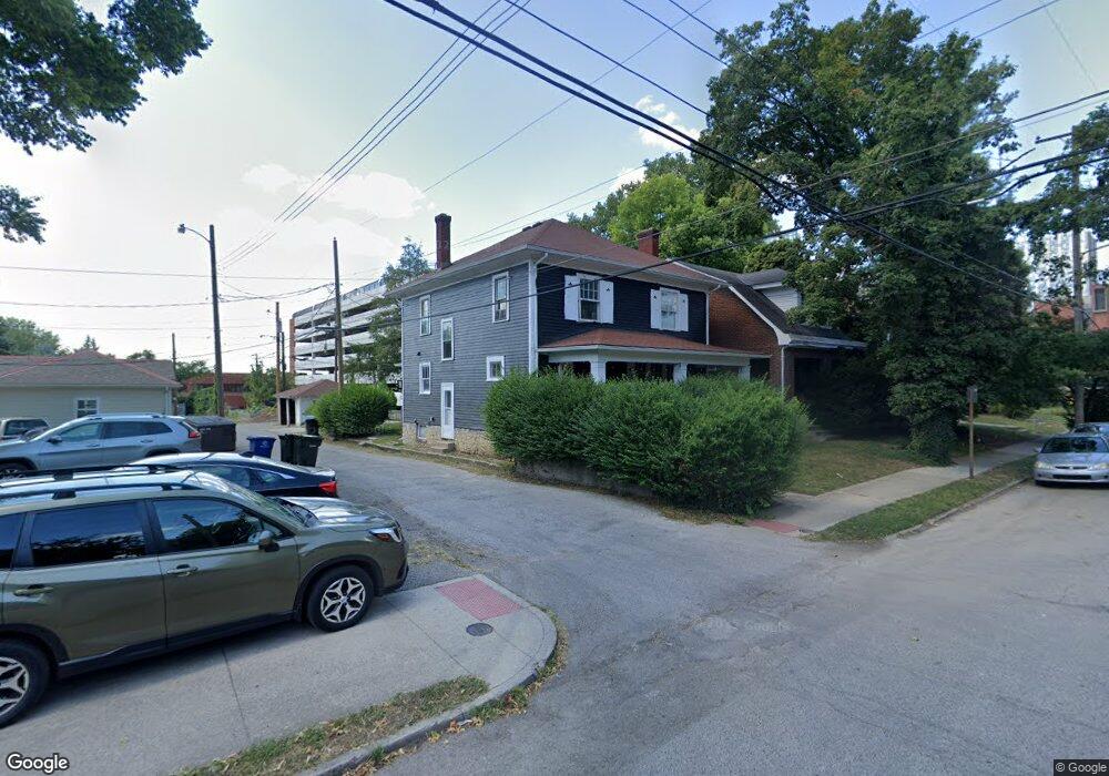
1483 Perry St Columbus, OH 43201
Estimated Value: $322,000 - $509,000
4
Beds
2
Baths
--
Sq Ft
4,922
Sq Ft Lot
About This Home
This home is located at 1483 Perry St, Columbus, OH 43201 and is currently estimated at $435,200. 1483 Perry St is a home located in Franklin County with nearby schools including Hubbard Elementary School, Dominion Middle School, and Whetstone High School.
Ownership History
Date
Name
Owned For
Owner Type
Purchase Details
Closed on
Jun 25, 2018
Sold by
Merryman William B and Merryman Joyee A
Bought by
Blue Star Saphire Llc
Current Estimated Value
Home Financials for this Owner
Home Financials are based on the most recent Mortgage that was taken out on this home.
Original Mortgage
$208,000
Outstanding Balance
$180,263
Interest Rate
4.5%
Mortgage Type
Commercial
Estimated Equity
$254,937
Purchase Details
Closed on
Jul 15, 1982
Bought by
Schlitt Virginia L
Create a Home Valuation Report for This Property
The Home Valuation Report is an in-depth analysis detailing your home's value as well as a comparison with similar homes in the area
Home Values in the Area
Average Home Value in this Area
Purchase History
| Date | Buyer | Sale Price | Title Company |
|---|---|---|---|
| Blue Star Saphire Llc | $173,400 | None Available | |
| Blue Star Spphire Llc | $86,700 | None Available | |
| Schlitt Virginia L | -- | -- |
Source: Public Records
Mortgage History
| Date | Status | Borrower | Loan Amount |
|---|---|---|---|
| Open | Blue Star Spphire Llc | $208,000 |
Source: Public Records
Tax History Compared to Growth
Tax History
| Year | Tax Paid | Tax Assessment Tax Assessment Total Assessment is a certain percentage of the fair market value that is determined by local assessors to be the total taxable value of land and additions on the property. | Land | Improvement |
|---|---|---|---|---|
| 2024 | $5,582 | $121,810 | $43,370 | $78,440 |
| 2023 | $5,513 | $121,800 | $43,365 | $78,435 |
| 2022 | $4,651 | $87,510 | $19,010 | $68,500 |
| 2021 | $4,659 | $87,510 | $19,010 | $68,500 |
| 2020 | $4,666 | $87,510 | $19,010 | $68,500 |
| 2019 | $4,353 | $70,010 | $15,230 | $54,780 |
| 2018 | $3,270 | $70,010 | $15,230 | $54,780 |
| 2017 | $3,714 | $70,010 | $15,230 | $54,780 |
| 2016 | $3,119 | $55,830 | $17,470 | $38,360 |
| 2015 | $2,831 | $55,830 | $17,470 | $38,360 |
| 2014 | $2,838 | $55,830 | $17,470 | $38,360 |
| 2013 | $1,249 | $50,750 | $15,890 | $34,860 |
Source: Public Records
Map
Nearby Homes
- 396 W 7th Ave
- 343 King Ave Unit 345
- 398 W 5th Ave
- 512 Riverfront Ln
- 516 Riverfront Ln
- 502 Riverfront Ln
- 1245 Pennsylvania Ave
- 506 Riverfront Ln
- 477 W 4th Ave
- 1173 Perry St Unit 20P
- 154-156 W 6th Ave
- 1438-1440 Hunter Ave
- 537 W 3rd Ave Unit 537
- 93 King Ave Unit 95
- 0 Bradley St
- 1298 Hunter Ave
- 42 King Ave
- 475 W 2nd Ave
- 337 Tappan St
- 63 Smith Place
- 1487 Perry St
- 1493 Perry St
- 470 King Ave Unit 472
- 1497 Perry St Unit 499
- 462 King Ave
- 462 King Ave Unit 462.5
- 1499 Perry St
- 476 King Ave
- 466 King Ave
- 480 King Ave
- 486 King Ave
- 1505 Perry St Unit 507
- 450 King Ave
- 1486 Perry St
- 0 Perry St
- 1492 Perry St
- 1511 Perry St
- 444 King Ave Unit 446
- 438 King Ave Unit 440
- 1496 Perry St