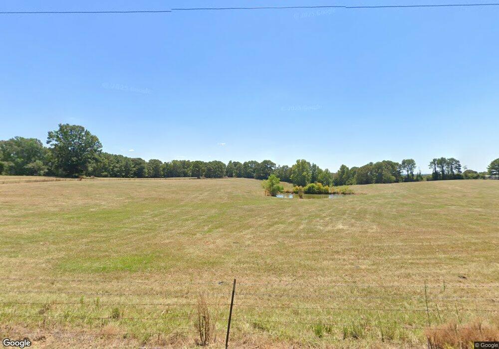
1484 Scr 36 Mount Olive, MS 39119
Estimated Value: $143,967 - $278,000
--
Bed
2
Baths
1,767
Sq Ft
$125/Sq Ft
Est. Value
About This Home
This home is located at 1484 Scr 36, Mount Olive, MS 39119 and is currently estimated at $221,322, approximately $125 per square foot. 1484 Scr 36 is a home located in Smith County with nearby schools including Mize Attendance Center.
Ownership History
Date
Name
Owned For
Owner Type
Purchase Details
Closed on
Jul 14, 2025
Sold by
Mcnair Rogers Josephine and Rogers Smith Josephine
Bought by
Diamond Carolyn Joyce and Diamond Troy Neil
Current Estimated Value
Purchase Details
Closed on
Jun 21, 2025
Sold by
Wright Gwyn Y and Mcnair Sharon L
Bought by
Diamond Carolyn Joyce and Diamond Troy Neil
Purchase Details
Closed on
Mar 22, 2021
Sold by
Bean Industries Inc and Bean Resources Inc
Bought by
Moselle Energy Llc
Create a Home Valuation Report for This Property
The Home Valuation Report is an in-depth analysis detailing your home's value as well as a comparison with similar homes in the area
Home Values in the Area
Average Home Value in this Area
Purchase History
| Date | Buyer | Sale Price | Title Company |
|---|---|---|---|
| Diamond Carolyn Joyce | -- | None Listed On Document | |
| Diamond Carolyn Joyce | -- | None Listed On Document | |
| Diamond Carolyn Joyce | -- | None Listed On Document | |
| Diamond Carolyn Joyce | -- | None Listed On Document | |
| Moselle Energy Llc | $35,000 | None Listed On Document |
Source: Public Records
Tax History Compared to Growth
Tax History
| Year | Tax Paid | Tax Assessment Tax Assessment Total Assessment is a certain percentage of the fair market value that is determined by local assessors to be the total taxable value of land and additions on the property. | Land | Improvement |
|---|---|---|---|---|
| 2024 | $1,117 | $10,894 | $0 | $0 |
| 2023 | $1,118 | $10,903 | $0 | $0 |
| 2022 | $1,119 | $10,912 | $0 | $0 |
| 2021 | $1,111 | $10,923 | $0 | $0 |
| 2020 | $1,033 | $10,348 | $0 | $0 |
| 2019 | $1,034 | $10,360 | $0 | $0 |
| 2018 | $1,035 | $10,378 | $0 | $0 |
| 2017 | $1,035 | $10,366 | $0 | $0 |
| 2016 | $939 | $9,540 | $0 | $0 |
| 2015 | -- | $9,513 | $0 | $0 |
| 2014 | -- | $9,492 | $0 | $0 |
Source: Public Records
Map
Nearby Homes
- XX Sullivan Rd
- 100 S Main St
- 300 Acres + - Hwy 532
- 86 Pleasant Hill Rd
- 300 Acres Mississippi 532
- 0 Highway 49 Unit 4120956
- 0 Simpson Highway 49 Unit 1327137
- 209 11th St
- 40 Acres Hwy 35
- 747 Jaynesville Rd
- 948 Horseshoe Rd
- 33 Scr 50a1
- 0 County Road 63
- 150 Pinetree Rd
- 0 Mississippi 35
- 40 +/- Acres Hwy 35
- 3803 Mississippi 28
- 187 Overby Rd
- 352 Berry Lott Rd
- 439 New Hope Rd
