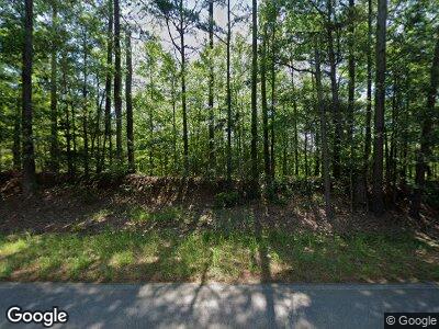
14854 Highway 43 N Kosciusko, MS 39090
Estimated Value: $76,000 - $121,499
1
Bed
--
Bath
1,066
Sq Ft
$91/Sq Ft
Est. Value
About This Home
This home is located at 14854 Highway 43 N, Kosciusko, MS 39090 and is currently estimated at $96,500, approximately $90 per square foot. 14854 Highway 43 N is a home with nearby schools including Kosciusko Lower Elementary School, Kosciusko Upper Elementary, and Kosciusko Middle School.
Ownership History
Date
Name
Owned For
Owner Type
Purchase Details
Closed on
Sep 26, 2016
Sold by
Nabors Hugh Stanley
Bought by
Nabors Hugh Stanley and Nabors Cecelia Frances
Current Estimated Value
Home Financials for this Owner
Home Financials are based on the most recent Mortgage that was taken out on this home.
Original Mortgage
$50,150
Outstanding Balance
$11,466
Interest Rate
3.47%
Mortgage Type
Stand Alone Refi Refinance Of Original Loan
Estimated Equity
$131,566
Purchase Details
Closed on
May 25, 2006
Sold by
Agent Dorothy
Bought by
Nabors Hugh Stanley
Create a Home Valuation Report for This Property
The Home Valuation Report is an in-depth analysis detailing your home's value as well as a comparison with similar homes in the area
Home Values in the Area
Average Home Value in this Area
Purchase History
| Date | Buyer | Sale Price | Title Company |
|---|---|---|---|
| Nabors Hugh Stanley | -- | -- | |
| Nabors Hugh Stanley | -- | -- |
Source: Public Records
Mortgage History
| Date | Status | Borrower | Loan Amount |
|---|---|---|---|
| Open | Nabors Hugh Stanley | $50,150 |
Source: Public Records
Tax History Compared to Growth
Tax History
| Year | Tax Paid | Tax Assessment Tax Assessment Total Assessment is a certain percentage of the fair market value that is determined by local assessors to be the total taxable value of land and additions on the property. | Land | Improvement |
|---|---|---|---|---|
| 2024 | $45 | $7,931 | $4,477 | $3,454 |
| 2023 | $59 | $8,055 | $4,620 | $3,435 |
| 2022 | $76 | $8,211 | $4,776 | $3,435 |
| 2021 | $89 | $8,327 | $4,935 | $3,392 |
| 2020 | $108 | $8,499 | $5,107 | $3,392 |
| 2019 | $115 | $8,555 | $5,194 | $3,361 |
| 2018 | $137 | $8,760 | $5,399 | $3,361 |
| 2017 | -- | $7,678 | $5,225 | $2,453 |
| 2016 | -- | $7,306 | $4,853 | $2,453 |
| 2015 | -- | $6,649 | $4,474 | $2,175 |
| 2014 | -- | $6,304 | $4,129 | $2,175 |
| 2013 | -- | $6,006 | $3,831 | $2,175 |
Source: Public Records
Map
Nearby Homes
- 3 Cr2251
- 11 County Road 2251
- 10 County Road 2251
- 0 Attala Rd 3237 Unit 11381196
- 14434 Mississippi 35
- 2136 Attala Road 5247
- 210 Woodland Dr
- 834 Highway 12 E
- 3330 County Road 422
- 0 5th Ave Unit 11489562
- 0 Highway 35 Unit 4107913
- 000 Attala County Rd
- 000 Attala County Road 4975
- 0 Shields Rd & Natchez Trace Pkwy
- 108 Highland Dr
- 211 Highland Dr
- 111 Highland Dr
- 17117 Mississippi 35
- 000 Attala County Rd
- 509 E Jefferson St
- 14854 Highway 43 N
- 14995 Highway 43 N
- 14686 Highway 43 N
- 2098 Attala Road 3018
- 2168 Attala Road 3018
- 15168 Highway 43 N
- 14625 Hwy 43 N
- 14625 Highway 43 N
- 15291 Highway 43 N
- 2277 Attala Road 3018
- 14520 Highway 43 N
- 14452 Highway 43 N
- 14314 Highway 43 N
- 14283 Highway 43 N
- 14247 Highway 43 N
- 9317 Attala Road 3022
- 9385 Attala Road 3022
- 9431 Attala Road 3022
- 14178 Highway 43 N
- 15625 Highway 43 N
