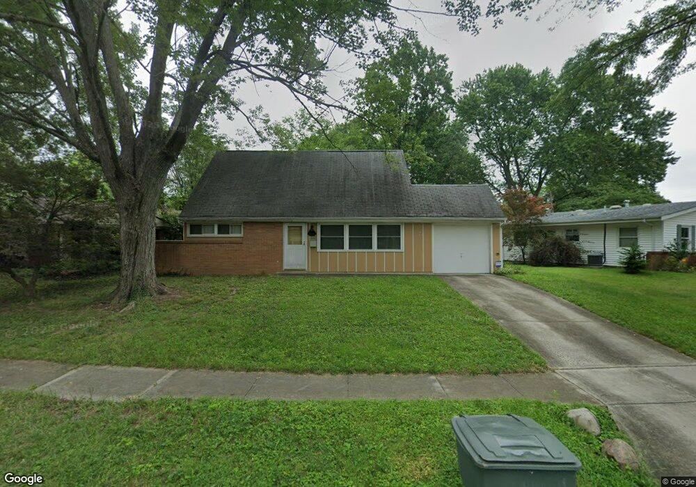
1486 Benson Dr Columbus, OH 43227
Shady Lane NeighborhoodEstimated Value: $175,062 - $239,000
4
Beds
2
Baths
1,270
Sq Ft
$161/Sq Ft
Est. Value
About This Home
This home is located at 1486 Benson Dr, Columbus, OH 43227 and is currently estimated at $204,266, approximately $160 per square foot. 1486 Benson Dr is a home located in Franklin County with nearby schools including Shady Lane Elementary School, Sherwood Middle School, and Walnut Ridge High School.
Ownership History
Date
Name
Owned For
Owner Type
Purchase Details
Closed on
Oct 20, 1997
Sold by
Rafeld David A
Bought by
Walker Bryan S
Current Estimated Value
Home Financials for this Owner
Home Financials are based on the most recent Mortgage that was taken out on this home.
Original Mortgage
$60,750
Outstanding Balance
$9,932
Interest Rate
7.65%
Estimated Equity
$194,334
Purchase Details
Closed on
Mar 17, 1994
Create a Home Valuation Report for This Property
The Home Valuation Report is an in-depth analysis detailing your home's value as well as a comparison with similar homes in the area
Home Values in the Area
Average Home Value in this Area
Purchase History
| Date | Buyer | Sale Price | Title Company |
|---|---|---|---|
| Walker Bryan S | $67,500 | Title Pro Agency Of Central | |
| -- | -- | -- |
Source: Public Records
Mortgage History
| Date | Status | Borrower | Loan Amount |
|---|---|---|---|
| Open | Walker Bryan S | $60,750 |
Source: Public Records
Tax History Compared to Growth
Tax History
| Year | Tax Paid | Tax Assessment Tax Assessment Total Assessment is a certain percentage of the fair market value that is determined by local assessors to be the total taxable value of land and additions on the property. | Land | Improvement |
|---|---|---|---|---|
| 2024 | $2,105 | $46,900 | $16,030 | $30,870 |
| 2023 | $2,562 | $57,820 | $16,030 | $41,790 |
| 2022 | $1,353 | $26,080 | $6,020 | $20,060 |
| 2021 | $1,355 | $26,080 | $6,020 | $20,060 |
| 2020 | $1,357 | $26,080 | $6,020 | $20,060 |
| 2019 | $1,232 | $20,310 | $4,800 | $15,510 |
| 2018 | $1,194 | $20,310 | $4,800 | $15,510 |
| 2017 | $1,231 | $20,310 | $4,800 | $15,510 |
| 2016 | $1,276 | $19,260 | $5,220 | $14,040 |
| 2015 | $1,158 | $19,260 | $5,220 | $14,040 |
| 2014 | $1,161 | $19,260 | $5,220 | $14,040 |
| 2013 | $673 | $22,645 | $6,125 | $16,520 |
Source: Public Records
Map
Nearby Homes
- 4677 E Livingston Ave
- 1607 Shady Lane Rd
- 4701 Janis Dr
- 4571 Aragon Ave
- 1607 Simpson Dr
- 1678 Huxley Dr
- 1563 Genoa Place
- 1571 Baxter Dr
- 1691 Shady Lane Rd
- 1486 Efner Dr
- 4501 Amesbury Rd
- 4484 Grimsby Rd
- 4467 Grimsby Rd
- 1320 Nancy Ln
- 1787 Lattimer Dr
- 1281 Maetzel Dr
- 1130 Little Plum Ln
- 4589 Belfast Dr
- 1618 S Hamilton Rd
- 1543 S Hamilton Rd
- 1478 Benson Dr
- 1494 Benson Dr
- 1485 Country Club Rd
- 1460 Benson Dr
- 1477 Country Club Rd
- 1498 Benson Dr
- 1454 Benson Dr
- 1499 Benson Dr
- 1469 Country Club Rd
- 1493 Benson Dr
- 1501 Benson Dr
- 1481 Benson Dr
- 1489 Benson Dr
- 1475 Benson Dr
- 1503 Benson Dr
- 1446 Benson Dr
- 1467 Benson Dr
- 1461 Benson Dr
- 1463 Country Club Rd
- 1453 Benson Dr