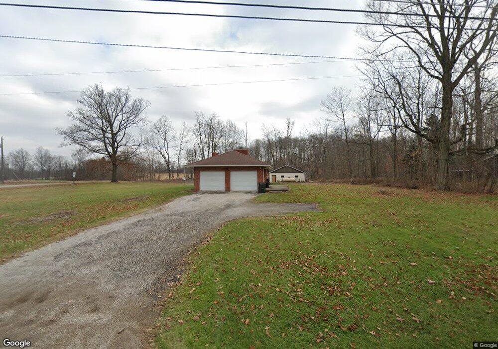
1486 Rock Rd Mansfield, OH 44903
Estimated Value: $212,000 - $245,000
3
Beds
2
Baths
1,474
Sq Ft
$156/Sq Ft
Est. Value
About This Home
This home is located at 1486 Rock Rd, Mansfield, OH 44903 and is currently estimated at $230,044, approximately $156 per square foot. 1486 Rock Rd is a home located in Richland County with nearby schools including Stingel Elementary School, Ontario Middle School, and Ontario High School.
Ownership History
Date
Name
Owned For
Owner Type
Purchase Details
Closed on
Jul 3, 2014
Sold by
Them Patricia A and Them Sandra L
Bought by
Barker Steven A
Current Estimated Value
Home Financials for this Owner
Home Financials are based on the most recent Mortgage that was taken out on this home.
Original Mortgage
$76,500
Outstanding Balance
$56,795
Interest Rate
3.5%
Mortgage Type
Adjustable Rate Mortgage/ARM
Estimated Equity
$173,249
Create a Home Valuation Report for This Property
The Home Valuation Report is an in-depth analysis detailing your home's value as well as a comparison with similar homes in the area
Home Values in the Area
Average Home Value in this Area
Purchase History
| Date | Buyer | Sale Price | Title Company |
|---|---|---|---|
| Barker Steven A | $85,000 | Chicago Title |
Source: Public Records
Mortgage History
| Date | Status | Borrower | Loan Amount |
|---|---|---|---|
| Open | Barker Steven A | $76,500 |
Source: Public Records
Tax History Compared to Growth
Tax History
| Year | Tax Paid | Tax Assessment Tax Assessment Total Assessment is a certain percentage of the fair market value that is determined by local assessors to be the total taxable value of land and additions on the property. | Land | Improvement |
|---|---|---|---|---|
| 2024 | $2,404 | $47,200 | $10,130 | $37,070 |
| 2023 | $2,404 | $47,200 | $10,130 | $37,070 |
| 2022 | $2,223 | $37,570 | $9,210 | $28,360 |
| 2021 | $2,227 | $37,570 | $9,210 | $28,360 |
| 2020 | $2,378 | $37,570 | $9,210 | $28,360 |
| 2019 | $2,257 | $32,270 | $7,810 | $24,460 |
| 2018 | $1,924 | $32,270 | $7,810 | $24,460 |
| 2017 | $1,894 | $32,270 | $7,810 | $24,460 |
| 2016 | $2,190 | $37,110 | $7,570 | $29,540 |
| 2015 | $2,190 | $37,110 | $7,570 | $29,540 |
| 2014 | $2,192 | $37,110 | $7,570 | $29,540 |
| 2012 | $775 | $38,260 | $7,810 | $30,450 |
Source: Public Records
Map
Nearby Homes
- 3251 Cookton Grange Rd
- 2696 Walker Lake Rd
- 1970 Rock Rd
- 1085 Lewis Rd
- 1025 Elizabeth Ave
- 1671 State Route 314 N
- 1689 State Route 314
- 1689 Ohio 314
- 2583 Deerfield Ln
- 1125 Cobblefield Dr Unit 59
- 2401 Whitney Ave
- 895 State Route 314 N
- 832 State Route 314 N
- 2346 Deerfield Ln Unit 2346
- 2270 Ferguson Rd
- 700 Villa Dr
- 675 Villa Dr Unit 675
- 642 Villa Dr
- 2674 Stiving Rd
- 648 Villa Dr Unit 648