14860 Rolling Hills Dr Montrose, CO 81403
Estimated Value: $774,000 - $868,000
--
Bed
2
Baths
2,392
Sq Ft
$337/Sq Ft
Est. Value
About This Home
This home is located at 14860 Rolling Hills Dr, Montrose, CO 81403 and is currently estimated at $805,642, approximately $336 per square foot. 14860 Rolling Hills Dr is a home located in Montrose County with nearby schools including Oak Grove Elementary School, Columbine Middle School, and Montrose High School.
Ownership History
Date
Name
Owned For
Owner Type
Purchase Details
Closed on
Sep 7, 2007
Sold by
Ball Karen H
Bought by
Ball Melvin A and Ball Karen H
Current Estimated Value
Purchase Details
Closed on
Jan 2, 1990
Sold by
Ball Melvin A
Bought by
Ball Karen H
Purchase Details
Closed on
Nov 14, 1989
Sold by
Riel John H and Riel Claudia J
Bought by
Phh Homequity Corp A Deleware Corp
Purchase Details
Closed on
Jul 19, 1978
Bought by
Riel John H and Riel Claudia J
Create a Home Valuation Report for This Property
The Home Valuation Report is an in-depth analysis detailing your home's value as well as a comparison with similar homes in the area
Home Values in the Area
Average Home Value in this Area
Purchase History
| Date | Buyer | Sale Price | Title Company |
|---|---|---|---|
| Ball Melvin A | -- | None Available | |
| Ball Karen H | $130,000 | -- | |
| Ball Melvin A | $130,000 | -- | |
| Phh Homequity Corp A Deleware Corp | $140,500 | -- | |
| Riel John H | $75,000 | -- |
Source: Public Records
Tax History Compared to Growth
Tax History
| Year | Tax Paid | Tax Assessment Tax Assessment Total Assessment is a certain percentage of the fair market value that is determined by local assessors to be the total taxable value of land and additions on the property. | Land | Improvement |
|---|---|---|---|---|
| 2024 | $3,057 | $49,630 | $11,040 | $38,590 |
| 2023 | $3,057 | $55,310 | $12,300 | $43,010 |
| 2022 | $2,214 | $39,130 | $6,190 | $32,940 |
| 2021 | $2,282 | $40,250 | $6,360 | $33,890 |
| 2020 | $1,971 | $36,520 | $5,090 | $31,430 |
| 2019 | $1,983 | $36,520 | $5,090 | $31,430 |
| 2018 | $1,799 | $33,190 | $4,100 | $29,090 |
| 2017 | $1,785 | $33,190 | $4,100 | $29,090 |
| 2016 | $1,755 | $33,940 | $3,780 | $30,160 |
| 2015 | $2,254 | $33,940 | $3,780 | $30,160 |
| 2014 | $1,836 | $29,580 | $4,200 | $25,380 |
Source: Public Records
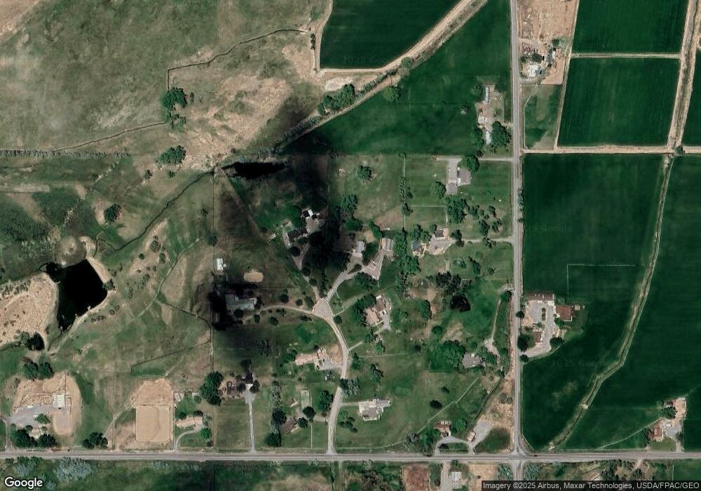
Map
Nearby Homes
- 14447 5950 Rd
- 59572 Mancos Ln
- 15090 6050 Rd
- TBD Niagara Rd
- 58922 Mallard Ln
- 59363 Lupine Ct
- 60497 Maple Grove Rd
- 60245 Oak Grove Rd
- 60837 Nighthorse Ln
- 59285 Lotus Ct
- 15189 6125 Rd
- 59440 Lone Eagle Rd
- 15067 6140 Ln
- Tbd Red 3 Shavano Valley Rd
- TBD Red 2 Shavano Valley Rd
- TBD Red 1 Shavano Valley Rd
- 15773 6000 Rd
- 16252 Shavano Valley Rd
- TBD Shavano Valley Rd
- 12689 6100 Rd
- 14861 Rolling Hills Dr
- 14819 6000 Rd
- 14900 Rolling Hills Dr
- 0 Rolling Hills Dr
- 0 Rolling Hills
- 14917 Rolling Hills Dr
- 14869 Rolling Hills Dr
- 14767 6000 Rd
- 14950 Rolling Hills Dr
- 14950 Rolling Hills Dr Unit FS Rd 765A
- 14863 6000 Rd
- 14725 6000 Rd
- 14967 Rolling Hills Dr
- 14920 6000 Rd
- 59715 Spring Creek Rd
- 59960 Spring Creek Rd
- 14686 6000 Rd Unit 20 Acres
- 14686 6000 Rd Unit Lot 1
- 14686 6000 Rd Unit Lots 1, 2, & 3
- 60096 Spring Creek Rd