Estimated Value: $171,071 - $386,000
1
Bed
--
Bath
406
Sq Ft
$730/Sq Ft
Est. Value
About This Home
This home is located at 1487 Co Op Point Rd, Ely, MN 55731 and is currently estimated at $296,268, approximately $729 per square foot. 1487 Co Op Point Rd is a home located in St. Louis County with nearby schools including Tower-Soudan Elementary School.
Ownership History
Date
Name
Owned For
Owner Type
Purchase Details
Closed on
Aug 25, 2019
Sold by
Simonson Edna M and Edna M Simonson Revocable Trus
Bought by
Simonson Margaret J
Current Estimated Value
Home Financials for this Owner
Home Financials are based on the most recent Mortgage that was taken out on this home.
Original Mortgage
$25,000
Interest Rate
4.56%
Purchase Details
Closed on
Dec 29, 2017
Sold by
Koski Clifford W and Koski Anna M
Bought by
Simonson David D and Simonson Margaret J
Purchase Details
Closed on
Jun 6, 2014
Sold by
Corradi Maxine E
Bought by
Koski Clifford W and Koski Anna M
Purchase Details
Closed on
Aug 20, 1998
Sold by
Corradi Maxine Maxine
Bought by
Koski Clifford and Koski Anna
Home Financials for this Owner
Home Financials are based on the most recent Mortgage that was taken out on this home.
Original Mortgage
$27,000
Interest Rate
6.99%
Create a Home Valuation Report for This Property
The Home Valuation Report is an in-depth analysis detailing your home's value as well as a comparison with similar homes in the area
Purchase History
| Date | Buyer | Sale Price | Title Company |
|---|---|---|---|
| Simonson Margaret J | $46,500 | None Available | |
| Simonson David D | $120,000 | North Title | |
| Koski Clifford W | $30,000 | None Available | |
| Koski Clifford | $30,000 | -- |
Source: Public Records
Mortgage History
| Date | Status | Borrower | Loan Amount |
|---|---|---|---|
| Previous Owner | Simonson Margaret J | $25,000 | |
| Previous Owner | Koski Clifford | $27,000 |
Source: Public Records
Tax History
| Year | Tax Paid | Tax Assessment Tax Assessment Total Assessment is a certain percentage of the fair market value that is determined by local assessors to be the total taxable value of land and additions on the property. | Land | Improvement |
|---|---|---|---|---|
| 2024 | $988 | $108,600 | $66,900 | $41,700 |
| 2023 | $988 | $82,600 | $51,700 | $30,900 |
| 2022 | $844 | $81,100 | $51,700 | $29,400 |
| 2021 | $818 | $72,800 | $51,700 | $21,100 |
| 2020 | $860 | $72,800 | $51,700 | $21,100 |
| 2019 | $812 | $75,200 | $51,700 | $23,500 |
| 2018 | $838 | $68,500 | $47,200 | $21,300 |
| 2017 | $698 | $68,600 | $47,300 | $21,300 |
| 2016 | $762 | $60,900 | $42,400 | $18,500 |
| 2015 | $781 | $63,300 | $47,700 | $15,600 |
| 2014 | $781 | $67,200 | $50,600 | $16,600 |
Source: Public Records
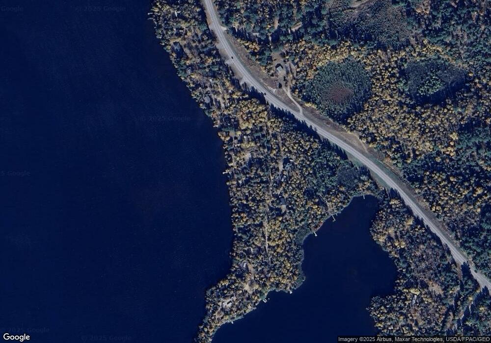
Map
Nearby Homes
- 3810 Mud Creek Rd
- 1346 Bear Head State Park Rd
- 1859 Bobence Rd
- TBD Moose Creek Trail
- XXXX Murray Forest Rd
- 2375 Viste Point Rd
- 8644 Pulkinen Rd
- 24 2nd Ave
- 70 Main St
- 5248 Ely Island S
- 3055 van Vac Rd
- 5262 Ely Island S
- 3297 NW Burntside Lake
- 3215 County Road 904
- 5372 Ely Island S
- 2928 Rd
- TBD Comet Rd
- TBD Waters Island
- X Waters Island
- 110 N 3rd St
- 1481 Co Op Point Rd
- 1477 Co Op Point Rd
- 1491 Co Op Point Rd
- 1475 Co Op Point Rd
- 1476 Co Op Point Rd
- 1476 Co-Op Point Rd
- 1493 1493 Coop Point
- 1471 Co Op Point Rd
- 1472 Co Op Point Rd
- 1493 Co Op Point Rd
- 1497 Bear Head State Park Rd
- 1461 Co Op Point Rd
- 1499 Bear Head State Park Rd
- 1464 Co Op Point Rd
- 1503 Bear Head State Park Rd
- 1455 Co Op Point Rd
- 1453 Co Op Point Rd
- 1458 Co Op Point Rd
- 1458 Co Op Point Rd
- 1449 Co Op Point Rd
Your Personal Tour Guide
Ask me questions while you tour the home.