14880 Spar Mine Rd Timberville, VA 22853
Estimated Value: $809,000 - $1,277,738
1
Bed
1
Bath
752
Sq Ft
$1,387/Sq Ft
Est. Value
About This Home
This home is located at 14880 Spar Mine Rd, Timberville, VA 22853 and is currently estimated at $1,043,369, approximately $1,387 per square foot. 14880 Spar Mine Rd is a home located in Rockingham County with nearby schools including Plains Elementary School, J. Frank Hillyard Middle School, and Broadway High School.
Ownership History
Date
Name
Owned For
Owner Type
Purchase Details
Closed on
Nov 27, 2018
Sold by
Crist John N and Paul L Orebaugh Revocable Trus
Bought by
Hesed Hill Llc
Current Estimated Value
Home Financials for this Owner
Home Financials are based on the most recent Mortgage that was taken out on this home.
Original Mortgage
$500,000
Outstanding Balance
$440,511
Interest Rate
4.8%
Mortgage Type
Credit Line Revolving
Estimated Equity
$602,858
Create a Home Valuation Report for This Property
The Home Valuation Report is an in-depth analysis detailing your home's value as well as a comparison with similar homes in the area
Home Values in the Area
Average Home Value in this Area
Purchase History
| Date | Buyer | Sale Price | Title Company |
|---|---|---|---|
| Hesed Hill Llc | $800,000 | Fidelity National Title |
Source: Public Records
Mortgage History
| Date | Status | Borrower | Loan Amount |
|---|---|---|---|
| Open | Hesed Hill Llc | $500,000 |
Source: Public Records
Tax History Compared to Growth
Tax History
| Year | Tax Paid | Tax Assessment Tax Assessment Total Assessment is a certain percentage of the fair market value that is determined by local assessors to be the total taxable value of land and additions on the property. | Land | Improvement |
|---|---|---|---|---|
| 2025 | $3,718 | $546,800 | $174,700 | $372,100 |
| 2024 | $3,718 | $546,800 | $174,700 | $372,100 |
| 2023 | $3,718 | $871,600 | $499,500 | $372,100 |
| 2022 | $3,718 | $871,600 | $499,500 | $372,100 |
| 2021 | $3,404 | $784,800 | $499,500 | $285,300 |
| 2020 | $3,404 | $784,800 | $499,500 | $285,300 |
| 2019 | $3,404 | $784,800 | $499,500 | $285,300 |
| 2018 | $3,404 | $784,800 | $499,500 | $285,300 |
| 2017 | $3,363 | $779,300 | $499,500 | $279,800 |
| 2016 | $3,182 | $779,300 | $499,500 | $279,800 |
| 2015 | $3,045 | $779,300 | $499,500 | $279,800 |
| 2014 | $2,909 | $779,300 | $499,500 | $279,800 |
Source: Public Records
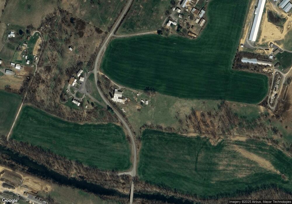
Map
Nearby Homes
- 259 N Sunset Dr
- TBD Rustic Ave
- 285 Park Ave
- 170 Morningside Dr
- 261 Turner Ave
- 111 Church St
- 121 S Central St
- 218 Broadway Ave
- 184 Walnut Dr
- 573 Denali Dr
- 294 Ridgewood Ave
- 168 Alger Ln
- 174 Griffin Ln
- TBD Broadway Ave
- 209 Buchanan Dr
- 198 Acres Runions Creek Rd
- Tbd Brunk Spring Ln
- TBD Timber Way
- 0 Holsinger Rd Unit VARO2000782
- TBD Holsinger Rd
- 14883 Spar Mine Rd
- 1599 Strooptown Rd
- 445 Shenandoah Ave
- TBD Spar Mine Rd
- 14760 Strooptown Rd
- 14762 Strooptown Rd
- 14960 Spar Mine Rd
- 289 Brocks Gap Rd
- 261 W Lee St
- 345 Windermere Dr
- 14982 Woodworker Ln
- 292 Brocks Gap Rd
- 221 W Lee St
- 330 Brocks Gap Rd
- 339 Windermere Dr
- 14980 Woodworker Ln
- 333 Windermere Dr
- 195 W Lee St
- 0 Brocks Gap Rd Unit OT44824C
- 0 Brock Gap Rd Unit RO6559771